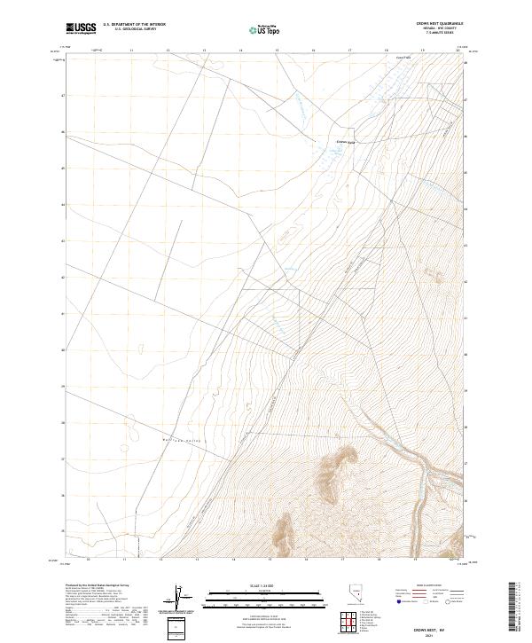
2021 Map of Crows Nest
USGS Topo · Published 2021About this map
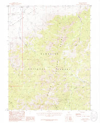
Railroad Valley dominates the western half of this Nevada landscape, where the flat basin floor meets the rising slopes of the Crows Nest highlands. This 2021 survey illustrates the critical role of scarce water sources in the high desert, documenting vital points like Crows Nest Spring, Blind Spring, and the seasonal wetlands of Evans Field. The transit network is defined by long-established thoroughfares including Midland Trail Rd and R R Valley Rd, which skirt the edges of the valley floor.
Find a feature on this map
15 named features on this map. Tap any name to fly to it.
Don’t see what you’re looking for? This feature index may not catch every label — zoom into the map to look around manually.
Map Details
Editions of this 2021 Crows Nest Map
This is the sole edition of this map. No revisions or reprints were ever made.
Other maps of this area

1956 · Lund
USGS Topo · 1:250,000

1960 · Lund
USGS Topo · 1:250,000

1964 · Troy Canyon
USGS Topo · 1:62,500

1968 · The Wall
USGS Topo · 1:62,500
1968 · The Wall SE
USGS Topo · 1:24,000
1968 · The Wall NE
USGS Topo · 1:24,000

1985 · Adaven
USGS Topo · 1:24,000
1985 · Big Creek Ranch
USGS Topo · 1:24,000
1985 · Nyala
USGS Topo · 1:24,000

1988 · Quinn Canyon Range
USGS Topo · 1:100,000