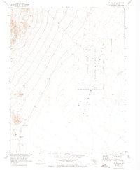
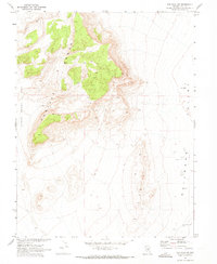
1968 Map of The Wall NE
USGS Topo · Published 1973About this map
Railroad Valley and the steep eastern slopes of the Pancake Range dominate this 1968 landscape in Nye County. The survey area, produced in cooperation with the Atomic Energy Commission, highlights a region where water is the primary arbiter of life and activity. Vital water sources like Warm Spring, Storm Spring, and Coyote Hole Spring are scattered across the arid terrain, often serving as the only landmarks for miles. Human presence is sparse, indicated by a single Corral and a remote Drill Hole. Much of the basin is protected within the Railroad Valley Wildlife Management Area, defined by an indefinite boundary that underscores the shifting, ephemeral nature of the valley floor. Transportation is limited to a primitive Jeep Trail, illustrating the isolation of this high-desert environment before modern development reached into the Nevada interior.
Find a feature on this map
20 named features on this map. Tap any name to fly to it.
Don’t see what you’re looking for? This feature index may not catch every label — zoom into the map to look around manually.
Map Details
Editions of this 1968 The Wall NE Map
This is the sole edition of this map. No revisions or reprints were ever made.
Other maps of this area

1956 · Lund
USGS Topo · 1:250,000

1960 · Lund
USGS Topo · 1:250,000

1964 · Blue Eagle Springs
USGS Topo · 1:62,500

1964 · Troy Canyon
USGS Topo · 1:62,500

1968 · Portuguese Mtn
USGS Topo · 1:62,500

1968 · The Wall
USGS Topo · 1:62,500
1968 · Black Rock Summit
USGS Topo · 1:24,000
1968 · The Wall SE
USGS Topo · 1:24,000
1968 · The Wall
USGS Topo · 1:24,000
1968 · The Wall SW
USGS Topo · 1:24,000