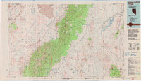
1988 Map of Quinn Canyon Range
USGS Topo · Published 1988About this map
Humboldt National Forest anchors this high-desert region, covering the central mass of the Grant Range and the Quinn Canyon Range. In the late 1980s, the landscape was defined by isolated settlements like Adaven and Nyala and a network of water-scarcity infrastructure, including Stone Corral Well and Pigeon Well. The eastern valleys are notable for their water management, where the Wayne E. Kirch Wildlife Management Area utilize Dacey Reservoir and the White River to sustain life in the arid basin.
Find a feature on this map
78 named features on this map. Tap any name to fly to it.
Don’t see what you’re looking for? This feature index may not catch every label — zoom into the map to look around manually.
Map Details
Editions of this 1988 Quinn Canyon Range Map
This is the sole edition of this map. No revisions or reprints were ever made.
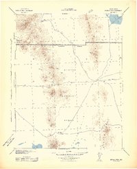
Other maps of this area

1885 · Pioche
USGS Topo · 1:250,000

1886 · Pioche
USGS Topo · 1:250,000

1908 · Kawich
USGS Topo · 1:250,000
1942 · Reveille Peak
USGS Topo · 1:125,000
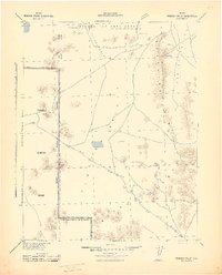
1942 · Penoyer Valley
USGS Topo · 1:125,000
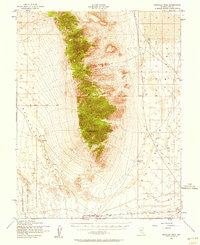
1952 · Reveille Peak
USGS Topo · 1:62,500

1954 · Caliente
USGS Topo · 1:250,000

1954 · Goldfield
USGS Topo · 1:250,000

1955 · Goldfield
USGS Topo · 1:250,000

1956 · Lund
USGS Topo · 1:250,000