
1952 Map of Reveille Peak
USGS Topo · Published 1958About this map
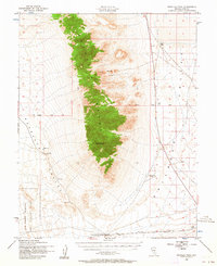
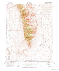
The Reveille Range dominates this mid-century high-desert landscape, rising sharply between Reveille Valley to the west and Railroad Valley to the east. At its center stands Reveille Peak, a prominent topographical landmark surrounded by the intricate contours of Fang Ridge. This remote portion of Nye County shows the marks of both ranching and military presence during the early Cold War era. The southern portion of the sheet is occupied by the Las Vegas Bombing and Gunnery Range, while human habitation is limited to the isolated Cedar Pipeline Ranch. Essential water sources are few and far between in this arid basin, noted by labels such as Freds Well and a high-altitude reservoir, alongside a Landing Field (Aban'd) that suggests a brief period of aviation activity in the desert flats.
Find a feature on this map
21 named features on this map. Tap any name to fly to it.
Don’t see what you’re looking for? This feature index may not catch every label — zoom into the map to look around manually.
Map Details
Editions of this 1952 Reveille Peak Map
3 editions found
Other maps of this area

1908 · Kawich
USGS Topo · 1:250,000

1942 · Reveille Peak
USGS Topo · 1:125,000

1942 · Penoyer Valley
USGS Topo · 1:125,000

1952 · Kawich Peak
USGS Topo · 1:62,500

1952 · Quartzite Mtn
USGS Topo · 1:62,500

1952 · White Blotch Springs
USGS Topo · 1:62,500

1952 · Belted Peak
USGS Topo · 1:62,500

1954 · Caliente
USGS Topo · 1:250,000

1954 · Goldfield
USGS Topo · 1:250,000

1955 · Goldfield
USGS Topo · 1:250,000