
1952 Map of Belted Peak
USGS Topo · Published 1958About this map
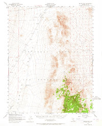
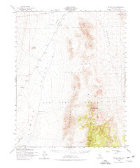
Belted Range dominates this mid-century survey of Nye County, Nevada, reflecting a landscape defined by military operations and early extractive efforts. Most of the territory falls within the Las Vegas Bombing Range, where the presence of a Target and an Abandoned Landing Strip underscores the area's role in Cold War-era defense training. The terrain is a mix of high peaks and wide valleys, where sparse water sources like Cliff Spring, Lambs Pond, and Antelope Reservoir provided essential waypoints in an otherwise arid environment. In the northeastern corner, the Oswald Mine serves as a reminder of the region's mining heritage, connected to the broader landscape by a marked Railroad and a long Ditch system. Rising above the desert floor, Belted Peak serves as the primary landmark for this sparsely settled but strategically significant portion of the Great Basin.
Find a feature on this map
13 named features on this map. Tap any name to fly to it.
Don’t see what you’re looking for? This feature index may not catch every label — zoom into the map to look around manually.
Map Details
Editions of this 1952 Belted Peak Map
3 editions found
Other maps of this area

1908 · Kawich
USGS Topo · 1:250,000

1942 · Emigrant Valley
USGS Topo · 1:125,000

1942 · Reveille Peak
USGS Topo · 1:125,000

1942 · Wheelbarrow Peak
USGS Topo · 1:125,000

1942 · Penoyer Valley
USGS Topo · 1:125,000

1952 · Kawich Peak
USGS Topo · 1:62,500

1952 · Quartzite Mtn
USGS Topo · 1:62,500

1952 · White Blotch Springs
USGS Topo · 1:62,500

1952 · Reveille Peak
USGS Topo · 1:62,500

1952 · Wheelbarrow Peak
USGS Topo · 1:62,500