
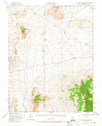
1952 Map of White Blotch Springs
USGS Topo · Published 1958About this map
White Blotch Springs and the surrounding desert terrain are captured in this 1952 study by the Corps of Engineers. The landscape is dominated by expansive military activity, defined by the broad Bombing Range and Gunnery Range that cross the county line between Nye and Lincoln. These restricted zones sit adjacent to the sweeping floor of the Penoyer Valley, where isolated infrastructure like a Water Tank and several Water Tanks are the only indicators of human utility in an otherwise stark environment. The topography rises sharply into the Timpahute Range, where the steep contours contrast with the flat basins used for aerial training. This map serves as a specific record of Cold War-era land use in the Nevada desert, marking the intersection of natural springs and strategic military operations.
Find a feature on this map
11 named features on this map. Tap any name to fly to it.
Don’t see what you’re looking for? This feature index may not catch every label — zoom into the map to look around manually.
Map Details
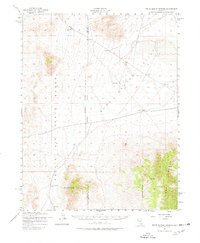
Editions of this 1952 White Blotch Springs Map
3 editions found
Other maps of this area

1908 · Kawich
USGS Topo · 1:250,000

1942 · Emigrant Valley
USGS Topo · 1:125,000

1942 · Reveille Peak
USGS Topo · 1:125,000

1942 · Wheelbarrow Peak
USGS Topo · 1:125,000

1942 · Penoyer Valley
USGS Topo · 1:125,000

1952 · Reveille Peak
USGS Topo · 1:62,500

1952 · Wheelbarrow Peak
USGS Topo · 1:62,500

1952 · Belted Peak
USGS Topo · 1:62,500

1952 · Groom Mine
USGS Topo · 1:62,500

1954 · Caliente
USGS Topo · 1:250,000