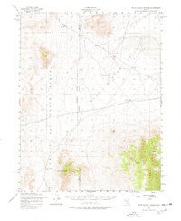
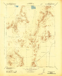
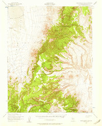
1952 Map of White Blotch Springs
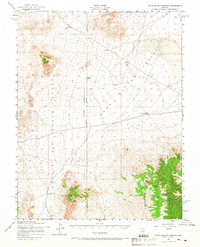
USGS Topo · Published 1978About this map
White Blotch Springs serves as a vital hydrological marker within this high-desert landscape, located at the intersection of several significant geological and administrative zones. Much of the western territory is defined by the Nellis Air Force Range, a vast expanse of restricted land that spans across the Nye Co Lincoln Co boundary. The map captures the basin-and-range topography of the early 1950s, showing the broad floor of Sand Spring Valley as it transitions into the rising elevations of the Groom Range to the southeast. Water infrastructure is a prominent theme in this arid region, as evidenced by a labeled Aqueduct and scattered Water Tank and Water Tanks locations. These features trace the essential lifeblood of human activity and military logistics in a landscape otherwise dominated by expansive desert flats and mountain ridges.
Find a feature on this map
10 named features on this map. Tap any name to fly to it.
Don’t see what you’re looking for? This feature index may not catch every label — zoom into the map to look around manually.
Map Details
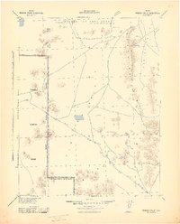
Editions of this 1952 White Blotch Springs Map
3 editions found
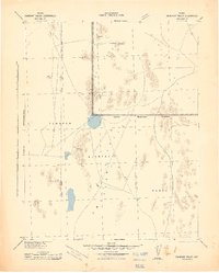
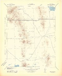
Other maps of this area

1908 · Kawich
USGS Topo · 1:250,000
1942 · Emigrant Valley
USGS Topo · 1:125,000
1942 · Reveille Peak
USGS Topo · 1:125,000
1942 · Wheelbarrow Peak
USGS Topo · 1:125,000
1942 · Penoyer Valley
USGS Topo · 1:125,000
1952 · White Blotch Springs
USGS Topo · 1:62,500
1952 · Reveille Peak
USGS Topo · 1:62,500
1952 · Wheelbarrow Peak
USGS Topo · 1:62,500
1952 · Belted Peak
USGS Topo · 1:62,500
1952 · Groom Mine
USGS Topo · 1:62,500