
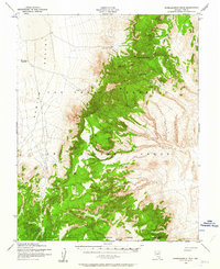
1952 Map of Wheelbarrow Peak
USGS Topo · Published 1958About this map
Wheelbarrow Peak stands as the dominant summit in this high-desert landscape of Nye County, mapped during a pivotal period of Cold War military expansion. The terrain is defined by the massive footprint of the Las Vegas Bombing and Gunnery Range, which occupies the central and eastern portions of the sheet. To the south, the Nevada Proving Grounds border indicates the area's role in mid-century atomic testing and defense research.
Find a feature on this map
12 named features on this map. Tap any name to fly to it.
Don’t see what you’re looking for? This feature index may not catch every label — zoom into the map to look around manually.
Map Details
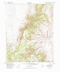
Editions of this 1952 Wheelbarrow Peak Map
3 editions found
Other maps of this area

1908 · Kawich
USGS Topo · 1:250,000

1942 · Emigrant Valley
USGS Topo · 1:125,000

1942 · Reveille Peak
USGS Topo · 1:125,000

1942 · Wheelbarrow Peak
USGS Topo · 1:125,000

1942 · Penoyer Valley
USGS Topo · 1:125,000

1952 · Tippipah Spring
USGS Topo · 1:62,500

1952 · Quartzite Mtn
USGS Topo · 1:62,500

1952 · Papoose Lake
USGS Topo · 1:62,500

1952 · White Blotch Springs
USGS Topo · 1:62,500

1952 · Timber Mountain
USGS Topo · 1:62,500