
1952 Map of Timber Mountain
USGS Topo · Published 1958About this map
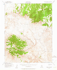
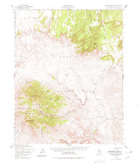
Las Vegas Bombing and Gunnery Range dominates the landscape of this mid-century survey, a vast military training ground in Nye County. The terrain is characterized by the massive elevation of Pahute Mesa to the north and the prominent peak of Timber Mountain to the west. Deep drainage systems like Fortymile Canyon and its tributary Cat Canyon cut through the high desert floor, illustrating the complex erosional patterns of the Great Basin. A single Target point is noted within the range, reflecting the area's Cold War-era role in aerial and military training. This 1952 field-checked map, published for civil use by the Geological Survey, captures a strictly functional, uninhabited landscape defined by its topographic extremes and restricted military status.
Find a feature on this map
6 named features on this map. Tap any name to fly to it.
Don’t see what you’re looking for? This feature index may not catch every label — zoom into the map to look around manually.
Map Details
Editions of this 1952 Timber Mountain Map
3 editions found
Other maps of this area

1908 · Kawich
USGS Topo · 1:250,000

1908 · Furnace Creek
USGS Topo · 1:250,000

1910 · Furnace Creek
USGS Topo · 1:250,000

1942 · Tolicha Peak
USGS Topo · 1:125,000

1942 · Wheelbarrow Peak
USGS Topo · 1:125,000

1942 · Skull Mountain
USGS Topo · 1:125,000

1942 · Bullfrog
USGS Topo · 1:125,000

1948 · Death Valley
USGS Topo · 1:250,000

1952 · Topopah Spring
USGS Topo · 1:62,500

1952 · Tippipah Spring
USGS Topo · 1:62,500