
1952 Map of Groom Mine
USGS Topo · Published 1958About this map
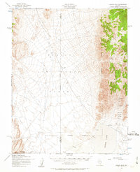
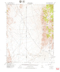
The Timpahute Range dominates the eastern landscape of this Nevada survey, overseeing a high-desert basin defined by military operations and isolated mining interests. At the base of the mountains, the Groom Mine and Black Metal Mine represent the localized extraction history of the region. These sites are situated near the dry expanse of Groom Lake, which is bordered by aviation facilities including a Landing Strip and a Landing Field.
Find a feature on this map
14 named features on this map. Tap any name to fly to it.
Don’t see what you’re looking for? This feature index may not catch every label — zoom into the map to look around manually.
Map Details
Editions of this 1952 Groom Mine Map
3 editions found
Other maps of this area

1908 · Kawich
USGS Topo · 1:250,000

1942 · Emigrant Valley
USGS Topo · 1:125,000

1942 · Reveille Peak
USGS Topo · 1:125,000

1942 · Wheelbarrow Peak
USGS Topo · 1:125,000

1942 · Penoyer Valley
USGS Topo · 1:125,000

1952 · Tippipah Spring
USGS Topo · 1:62,500

1952 · Papoose Lake
USGS Topo · 1:62,500

1952 · White Blotch Springs
USGS Topo · 1:62,500

1952 · Wheelbarrow Peak
USGS Topo · 1:62,500

1952 · Belted Peak
USGS Topo · 1:62,500