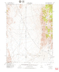
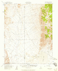
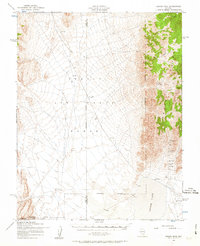
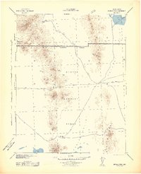
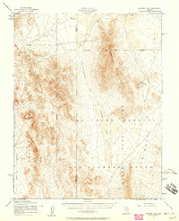
1952 Map of Groom Mine
USGS Topo · Published 1979About this map
The Groom Range dominates this 1952 landscape, marking a remote desert territory on the border of Nye and Lincoln counties during a period of significant military transition. To the west and south, the Nellis Air Force Range and the Nevada Test Site represent the expanding government footprint in the Cold War era. At the heart of the eastern slopes lies the Groom Mine, a primary site of interest along with the nearby Black Metal Mine. The terrain is defined by the massive dry expanse of Groom Lake and the sweeping Emigrant Valley. Transportation and utility infrastructure are sparse, consisting of an unnamed Pipeline, a Landing Strip, and a Landing Field that hint at the specialized logistical needs of both mining operations and military testing grounds in the Great Basin.
Find a feature on this map
17 named features on this map. Tap any name to fly to it.
Don’t see what you’re looking for? This feature index may not catch every label — zoom into the map to look around manually.
Map Details
Editions of this 1952 Groom Mine Map
3 editions found
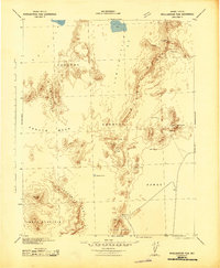
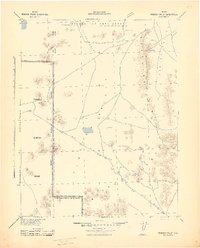
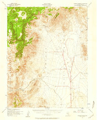
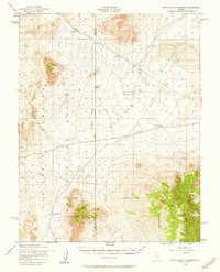
Other maps of this area

1908 · Kawich
USGS Topo · 1:250,000
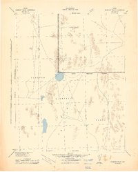
1942 · Emigrant Valley
USGS Topo · 1:125,000
1942 · Reveille Peak
USGS Topo · 1:125,000
1942 · Wheelbarrow Peak
USGS Topo · 1:125,000
1942 · Penoyer Valley
USGS Topo · 1:125,000
1952 · Tippipah Spring
USGS Topo · 1:62,500
1952 · Papoose Lake
USGS Topo · 1:62,500
1952 · White Blotch Springs
USGS Topo · 1:62,500
1952 · Wheelbarrow Peak
USGS Topo · 1:62,500
1952 · Belted Peak
USGS Topo · 1:62,500