
1952 Map of Kawich Peak
USGS Topo · Published 1958About this map
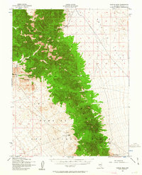
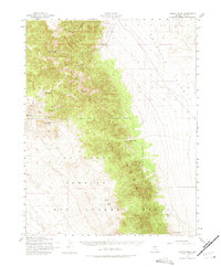
The high peaks of the Kawich Range dominate this 1950s survey of the Nevada interior, where the high-altitude settlement of Silverbow stands near the base of the mountains. The map reveals a transition from ranching and mining to military use, with the southern half of the quadrangle occupied by the Las Vegas Bombing and Gunnery Range. Along the eastern slopes, isolated outposts like Eden Creek Ranch and Breen Ranch sit at the edge of the wide Reveille Valley, dependent on vital water sources like Corral Spring and Georges Water. This era of mapping was particularly significant for land management, as it clearly delineates the Mt Diablo Base Line and specific designated Mining Areas amidst the peaks of Kawich Peak and Nixon Peak.
Find a feature on this map
19 named features on this map. Tap any name to fly to it.
Don’t see what you’re looking for? This feature index may not catch every label — zoom into the map to look around manually.
Map Details
Editions of this 1952 Kawich Peak Map
3 editions found
Other maps of this area

1908 · Kawich
USGS Topo · 1:250,000

1942 · Cactus Range
USGS Topo · 1:125,000

1942 · Reveille Peak
USGS Topo · 1:125,000

1952 · Stinking Spring
USGS Topo · 1:62,500

1952 · Mellan
USGS Topo · 1:62,500

1952 · Quartzite Mtn
USGS Topo · 1:62,500

1952 · Reveille Peak
USGS Topo · 1:62,500

1952 · Belted Peak
USGS Topo · 1:62,500

1954 · Goldfield
USGS Topo · 1:250,000

1955 · Goldfield
USGS Topo · 1:250,000