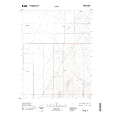
2018 Map of Crows Nest
USGS Topo · Published 2018About this map
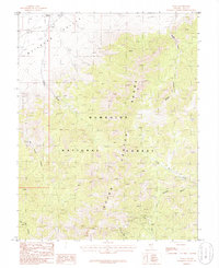
Evans Field sits at the northern edge of this high-desert basin, a landscape defined by seasonal drainages and isolated water sources. The terrain is characterized by the descent from Hooper Canyon in the southeast toward the flatter expanse of the valley floor to the west. Essential water points for livestock or travelers are sparse but critical, represented by Crows Nest Spring and Blind Spring. The drainage network, including Little Meadows Cr, Hooper Cr, and Bordoli Cr, indicates how water moves across these alluvial fans during periods of runoff. Transportation is anchored by the historic Midland Trail Rd and R R Valley Rd, reflecting the sparse but enduring transit corridors through this portion of Nye County.
Find a feature on this map
15 named features on this map. Tap any name to fly to it.
Don’t see what you’re looking for? This feature index may not catch every label — zoom into the map to look around manually.
Map Details
Editions of this 2018 Crows Nest Map
This is the sole edition of this map. No revisions or reprints were ever made.
Other maps of this area

1956 · Lund
USGS Topo · 1:250,000

1960 · Lund
USGS Topo · 1:250,000

1964 · Troy Canyon
USGS Topo · 1:62,500

1968 · The Wall
USGS Topo · 1:62,500
1968 · The Wall SE
USGS Topo · 1:24,000
1968 · The Wall NE
USGS Topo · 1:24,000

1985 · Adaven
USGS Topo · 1:24,000
1985 · Big Creek Ranch
USGS Topo · 1:24,000
1985 · Nyala
USGS Topo · 1:24,000

1988 · Quinn Canyon Range
USGS Topo · 1:100,000