Old Maps of Ellsworth, Nevada for Hiking & Exploration
Hike through history with 13 historic maps of Ellsworth. Explore old trails, ghost towns, and forgotten backroads — perfect for outdoor adventurers and local explorers.
- Rediscover forgotten places: Map out old mining camps, roads, and footpaths that no longer exist on modern maps.
- Layer with modern tools: Combine with LiDAR or satellite views to plan hikes through historical terrain.
- Made for exploration: Popular among hikers, overlanders, and local history lovers.
Use these maps to find adventure and explore the hidden past of Ellsworth.
Ellsworth, NV maps
(13)- 1907 Map of Tonopah, 1955 Print
 1907 Tonopah1955 Print · USGSCentral Nevada's mining heartland comes alive in this survey of the high desert and mountain ranges at the peak of the silver and gold booms. Researchers can trace the early rail networks of the Goldfield RR and locate sites like Round Mountain, the Orizaba Mine, and Darrough's Hot Springs.
 - 1908 Map of Tonopah
 1908 Tonopah1908 Print · USGSCentral Nevada's mining boom is frozen in time in this early century survey of the Tonopah and Manhattan districts. Trace the old Tonopah and Goldfield RR lines to vanished camps like Berlin and active sites such as the Nevada Mine.3 unique versions available
 - 1948 Map of Paradise Peak
 1948 Paradise Peak1948 Print · USGSMining and desert settlement come into focus in 1940s Nye County, where industrial camps and high peaks define the landscape. Trace the history of the mineral boom through the Sierra Magnesite Camp, the Downeyville site, and the remote Victory Tungsten Mine.2 unique versions available
 - 1950 Map of Paradise Peak
 1950 Paradise Peak1950 Print · USGSMid-century mining operations dominate this Nye County landscape as industrial magnesite and tungsten extraction centers around Brucite. Local historians can trace the foundations of Downeyville or the active Illinois Mine and Paradise Mine.
 - 1956 Map of Tonopah, 1974 Print
 1956 Tonopah1974 Print · USGSCentral Nevada in the mid-fifties reveals a landscape shaped by mining and military footprints. Trace old silver districts near Tonopah and Manhattan, or locate early industrial sites like the Borax works at Columbus Salt Marsh.2 unique versions available
 - 1959 Map of Tonopah
 1959 Tonopah1959 Print · USGSCentral Nevada in the late fifties is a landscape of high desert ranges and mining history. Trace the remnants of old boomtowns and industrial sites like Berlin, the Gold Hill Mill, and the Victory Tungsten Mine.2 unique versions available
 - 1962 Map of Tonopah
 1962 Tonopah1962 Print · USGSCentral Nevada's high desert mining country is captured here during the early sixties, showing the enduring footprint of the silver and gold rushes. Researchers can trace the decline of historic camps and locate industrial sites like the Tybo Mine, Victory Tungsten Mine, and the Mt. Moriah Cemetery.2 unique versions available
 - 1985 Map of Ione Valley
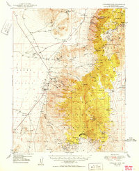
 1985 Ione Valley1985 Print · USGSCentral Nevada in the mid-eighties was a landscape of high desert basins and legendary mining districts. Genealogists and historians can trace the foundations of Round Mountain, the operations of the Manhattan Dredge, and the locations of remote sites like Grantsville and Ione.2 unique versions available
 - 1988 Map of Ellsworth
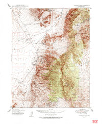
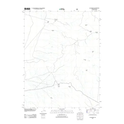
 1988 Ellsworth1988 Print · USGSNye County's high desert mining landscape is captured here in the late twentieth century, showing the intersection of the Paradise Range and the Lodi Valley. Researchers can locate historic mineral claims like the Esta Buena Mine and Stokes Mine, or trace the grounds of the Ellsworth settlement and Craig Station.
 - 2011 Map of Ellsworth, 2011 Print
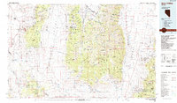
 2011 Ellsworth2011 Print · USGSCovers Ellsworth, including Lodi Tanks, Nye County, and other nearby areas
 - 2014 Map of Ellsworth, 2014 Print
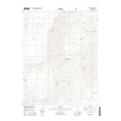 2014 Ellsworth2014 Print · USGSCovers Ellsworth, including Lodi Tanks, Nye County, and other nearby areas
 - 2018 Map of Ellsworth, 2018 Print
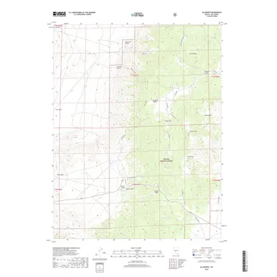 2018 Ellsworth2018 Print · USGSCovers Ellsworth, including Lodi Tanks, Nye County, and other nearby areas
 - 2021 Map of Ellsworth, 2021 Print
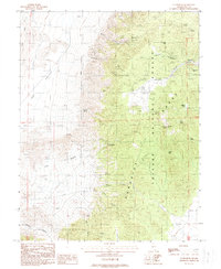
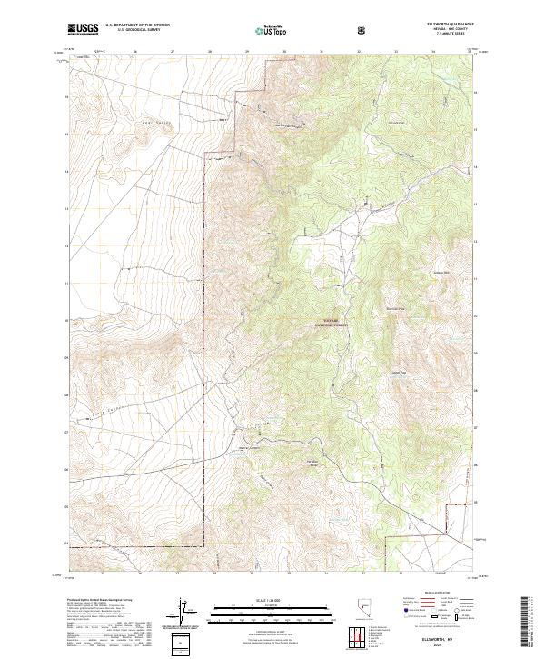 2021 Ellsworth2021 Print · USGSThe Paradise Range in the 2020s remains a landscape of high peaks and vital water sources within the Toiyabe National Forest. Researchers can trace the drainage patterns of Ellsworth Canyon or locate remote landmarks like Fairview Peak and Big Spring.
End of results
Showing maps 1-13 of 13
Frequently asked questions
- What are the different types of historical maps available for Ellsworth?
- What is the oldest map of Ellsworth?
- Where can I purchase historical maps of Ellsworth for my home or office?
- Where can I download high-res historical maps of Ellsworth?
- Are there historical topographic maps available for Ellsworth?
- Is there historical aerial imagery available for Ellsworth?
- Where are historical maps of Ellsworth sourced from?