Old Maps of Cross Timbers, Nevada
Explore 11 old maps of Cross Timbers, spanning from 1952 to today. These high-resolution historic maps reveal how streets, neighborhoods, landmarks, and natural features evolved over time — perfect for genealogy, metal detecting, research, and local history exploration.
What you can do with these maps:
- See how Cross Timbers changed over time: Compare historical maps to modern-day views to trace roads, homesites, rail lines & more.
- View detailed metadata: Each map includes creators, publishers, year, scale, and archive source.
- Overlay maps with satellite & LiDAR: Visualize the past alongside modern tools to explore terrain & human change.
- Trusted historical sources: Maps sourced from the USGS, Library of Congress, and other archives.
- Access maps your way: View online, download high-res files, or order prints for personal or research use.
Start exploring old maps of Cross Timbers to uncover forgotten places, hidden landmarks, and the deep history beneath your feet.
Cross Timbers, NV maps
(11)- 1952 Map of Ely, 1954 Print
 1952 Ely1954 Print · USGSCentral Nevada's mining heartland is captured here during the mid-fifties copper boom. Genealogists and historians can trace the Nevada Northern RR between the copper pits of Ruth and the industrial infrastructure of McGill and East Ely.3 unique versions available
 - 1956 Map of Ely, 1968 Print
 1956 Ely1968 Print · USGSEastern Nevada in the mid-fifties is a land of massive mountain ranges and silver-boom history. Trace the legacy of mining ruins at Hamilton and Treasure City or follow the path of the Nevada Northern RR through Ely.5 unique versions available
 - 1958 Map of East Ely, 1961 Print
 1958 East Ely1961 Print · USGSEast Ely and the surrounding Steptoe Valley are captured here in the late fifties, showcasing a landscape defined by rail and early aviation. Researchers can trace the Nevada Northern railroad, locate the Baltimore Mill, and see the footprint of Yelland Field.2 unique versions available
 - 1958 Map of McGill, 1961 Print
 1958 McGill1961 Print · USGSWhite Pine County’s copper industrial complex and valley ranching are fully established in this late-fifties topographic record. Researchers can trace the Nevada Northern Railway corridor from McGill to East Ely and locate landmarks like Yelland Field and Lusetti Ranch.2 unique versions available
 - 1959 Map of Ely
 1959 Ely1959 Print · USGSEastern Nevada's high desert reveals its mining heart and pioneer ranching outposts during the late fifties. Genealogists and historians can trace family-named outposts like Goicoechea Ranch or explore the ruins of former silver-mining hubs like Hamilton and Treasure City.2 unique versions available
 - 1963 Map of Ely
 1963 Ely1963 Print · USGSEastern Nevada's high basins and mountain ranges are captured here in the early sixties, showing a landscape defined by mining and ranching. Trace family roots at the Thompson Ranch or follow the Nevada Northern Railroad through Steptoe Valley.
 - 1987 Map of Ely
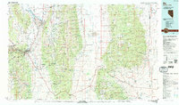 1987 Ely1987 Print · USGSWhite Pine County's high-desert mining and rail landscape is shown here in the late eighties. Researchers can trace the massive Ruth Pit copper mines, the Nevada Northern RR, and early settlements like Osceola and Lane City.2 unique versions available
 - 2012 Map of East Ely, 2012 Print
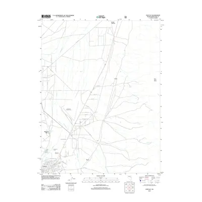 2012 East Ely2012 Print · USGSThe high-desert valley around Ely is shown in detail during the early twenty-first century, as the town and its outlying ranches navigated a changing rural landscape. Genealogists and local historians can trace family-named sites such as Georgetown Ranch and Mosier, or locate landmarks like the Baltimore Mill.
 - 2014 Map of East Ely, 2014 Print
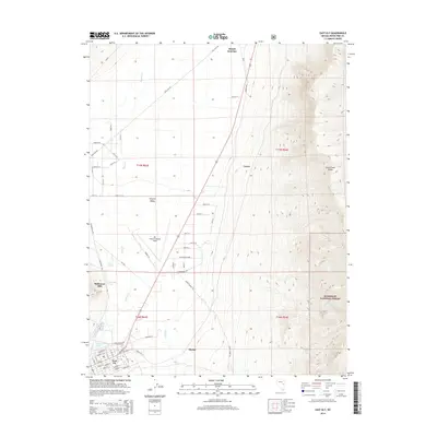 2014 East Ely2014 Print · USGSThe high-desert valley and mountain slopes of eastern Nevada are captured here just over a decade ago. Genealogists and local historians can trace the development of East Ely and find landmarks like Baltimore Mill and Ely Warm Springs.
 - 2018 Map of East Ely, 2018 Print
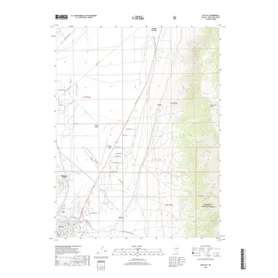 2018 East Ely2018 Print · USGSThe Steptoe Valley at the foot of the Duck Creek Range shows its modern aviation and industrial footprint. Researchers can trace the layout of East Ely and locate landmarks like the Baltimore Mill, Yelland Field, and Lackawanna Springs.
 - 2021 Map of East Ely, 2021 Print
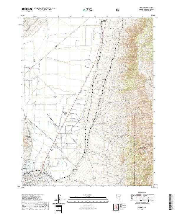 2021 East Ely2021 Print · USGSEast Ely and the surrounding Steptoe Valley are captured here in the twenty-first century, showing the modern layout of this high-desert mining and aviation hub. Researchers can trace local landmarks like Baltimore Mill, find family names on roads in Mosier, and locate thermal features such as Ely Warm Springs.
End of results
Showing maps 1-11 of 11
Frequently asked questions
- What are the different types of historical maps available for Cross Timbers?
- What is the oldest map of Cross Timbers?
- Where can I purchase historical maps of Cross Timbers for my home or office?
- Where can I download high-res historical maps of Cross Timbers?
- Are there historical topographic maps available for Cross Timbers?
- Is there historical aerial imagery available for Cross Timbers?
- Where are historical maps of Cross Timbers sourced from?