Old Maps of Gleason Creek, White Pine County for Hiking & Exploration
Hike through history with 12 historic maps of Gleason Creek. Explore old trails, ghost towns, and forgotten backroads — perfect for outdoor adventurers and local explorers.
- Rediscover forgotten places: Map out old mining camps, roads, and footpaths that no longer exist on modern maps.
- Layer with modern tools: Combine with LiDAR or satellite views to plan hikes through historical terrain.
- Made for exploration: Popular among hikers, overlanders, and local history lovers.
Use these maps to find adventure and explore the hidden past of Gleason Creek.
Gleason Creek, White Pine County maps
(12)- 1952 Map of Ely, 1954 Print
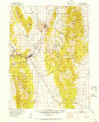 1952 Ely1954 Print · USGSCentral Nevada's mining heartland is captured here during the mid-fifties copper boom. Genealogists and historians can trace the Nevada Northern RR between the copper pits of Ruth and the industrial infrastructure of McGill and East Ely.3 unique versions available
 - 1956 Map of Ely, 1968 Print
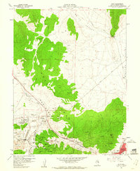
 1956 Ely1968 Print · USGSEastern Nevada in the mid-fifties is a land of massive mountain ranges and silver-boom history. Trace the legacy of mining ruins at Hamilton and Treasure City or follow the path of the Nevada Northern RR through Ely.5 unique versions available
 - 1958 Map of Ruth, 1960 Print
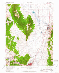
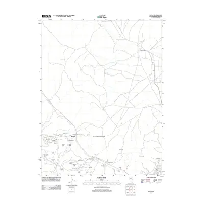
 1958 Ruth1960 Print · USGSMining operations in the Egan Range were at their peak during the late fifties, transforming the landscape around Ruth. Researchers can trace the extensive rail network of the Nevada Northern and locate historic shafts like the Elijah Mine or Ada Shaft.3 unique versions available
 - 1958 Map of McGill, 1961 Print
 1958 McGill1961 Print · USGSWhite Pine County’s copper industrial complex and valley ranching are fully established in this late-fifties topographic record. Researchers can trace the Nevada Northern Railway corridor from McGill to East Ely and locate landmarks like Yelland Field and Lusetti Ranch.2 unique versions available
 - 1959 Map of Ely
 1959 Ely1959 Print · USGSEastern Nevada's high desert reveals its mining heart and pioneer ranching outposts during the late fifties. Genealogists and historians can trace family-named outposts like Goicoechea Ranch or explore the ruins of former silver-mining hubs like Hamilton and Treasure City.2 unique versions available
 - 1963 Map of Ely
 1963 Ely1963 Print · USGSEastern Nevada's high basins and mountain ranges are captured here in the early sixties, showing a landscape defined by mining and ranching. Trace family roots at the Thompson Ranch or follow the Nevada Northern Railroad through Steptoe Valley.
 - 1987 Map of Ely
 1987 Ely1987 Print · USGSWhite Pine County's high-desert mining and rail landscape is shown here in the late eighties. Researchers can trace the massive Ruth Pit copper mines, the Nevada Northern RR, and early settlements like Osceola and Lane City.2 unique versions available
 - 2012 Map of Ruth, 2012 Print
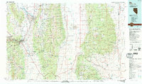
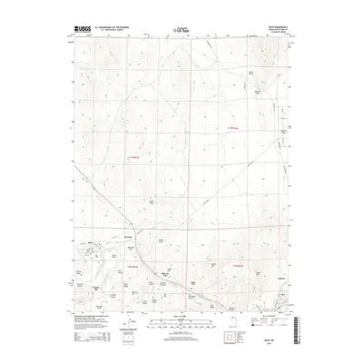
 2012 Ruth2012 Print · USGSCovers Gleason Creek, including Ely, Ruth, and other nearby areas
 - 2014 Map of Ruth, 2014 Print
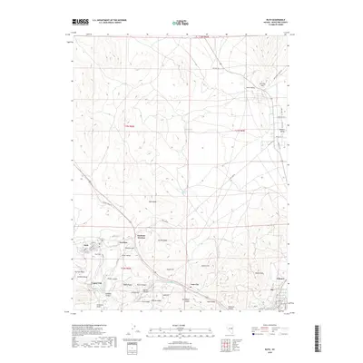
 2014 Ruth2014 Print · USGSCovers Gleason Creek, including Ely, Ruth, and other nearby areas
 - 2018 Map of Ruth, 2018 Print
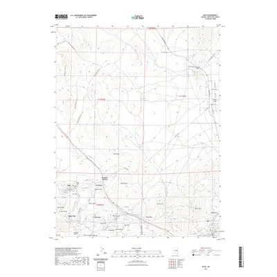
 2018 Ruth2018 Print · USGSCovers Gleason Creek, including Ely, Ruth, and other nearby areas
 - 2021 Map of Ruth, 2021 Print
 2021 Ruth2021 Print · USGSCovers Gleason Creek, including Ely, Ruth, and other nearby areas
 - 2023 Map of Ruth, 2023 Print
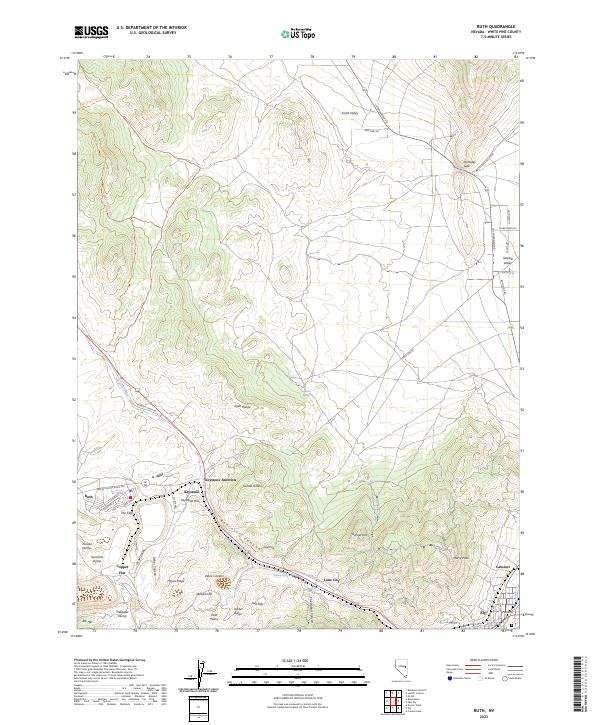 2023 Ruth2023 Print · USGSThe mining country of White Pine County comes into focus here, showing the communities of Ruth and Ely amidst the Egan Range. Researchers can trace the industrial footprint of Copper Flat or locate local landmarks like Garnet Hill and Lane City.
End of results
Showing maps 1-12 of 12
Frequently asked questions
- What are the different types of historical maps available for Gleason Creek?
- What is the oldest map of Gleason Creek?
- Where can I purchase historical maps of Gleason Creek for my home or office?
- Where can I download high-res historical maps of Gleason Creek?
- Are there historical topographic maps available for Gleason Creek?
- Is there historical aerial imagery available for Gleason Creek?
- Where are historical maps of Gleason Creek sourced from?