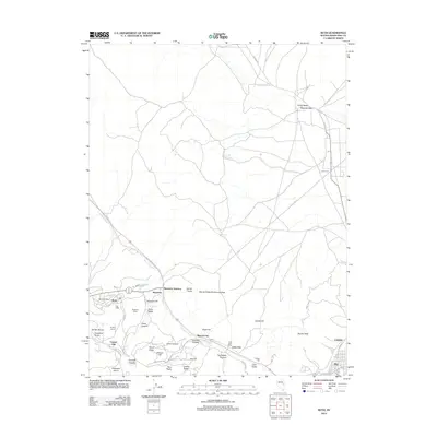
2012 Map of Ruth
USGS Topo · Published 2012About this map
Ruth and its surroundings serve as a significant center of industry and mineral exploration in White Pine County. The landscape is defined by extensive earthworks and waste management areas, including the Puritan Dump, Stillwater Dump, and the massive Copper Flat. These features underscore the legacy of large-scale open-pit mining in the district. Smaller historically important settlements like Mineral City and Lane City are linked along the corridor leading toward Ely, while the Lane Post Office and Ruth Post Office mark the civic hubs for the resident workforce.
Find a feature on this map
48 named features on this map. Tap any name to fly to it.
Don’t see what you’re looking for? This feature index may not catch every label — zoom into the map to look around manually.
Map Details
Editions of this 2012 Ruth Map
This is the sole edition of this map. No revisions or reprints were ever made.
Other maps of this area

1952 · Ely
USGS Topo · 1:125,000

1956 · Ely
USGS Topo · 1:250,000

1958 · McGill
USGS Topo · 1:24,000

1958 · Ruth
USGS Topo · 1:24,000

1958 · East Ely
USGS Topo · 1:24,000

1958 · Comins Lake
USGS Topo · 1:24,000

1958 · Ely
USGS Topo · 1:62,500

1958 · McGill
USGS Topo · 1:62,500

1958 · Reipetown
USGS Topo · 1:24,000

1958 · Giroux Wash
USGS Topo · 1:24,000