2020s Maps of Wakefield, New Hampshire
Explore 10 historic maps of Wakefield from the 2020s. These maps offer a rare glimpse into what life looked like during the 2020s — showing old roads, neighborhoods, homes, and landmarks that have changed or disappeared over time.
Whether you're researching your family's past, planning a metal detecting trip, or studying how Wakefield's landscape evolved across the 2020s, these high-resolution maps are a powerful tool for exploring the history of this region.
- Focus on a specific era: All maps on this page are from the 2020s, giving you a focused view of this time period.
- See what’s changed: Compare century-old streets, trails, and buildings to today's modern landscape using overlays and satellite layers.
- Research with precision: Use these maps for genealogy, historical research, land use analysis, or educational projects.
- View, download, or print: Maps are fully viewable online in high resolution, and can be downloaded or printed for your own records.
Start exploring Wakefield's history through authentic maps from the 2020s. This is your window into the past.
Wakefield, NH maps
(10)- 2021 Map of West Newfield, 2021 Print
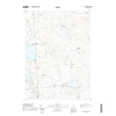 2021 West Newfield2021 Print · USGSCovers Wakefield, including Parsonsfield, Effingham, and other nearby areas
 - 2021 Map of Great East Lake, 2021 Print
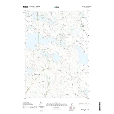 2021 Great East Lake2021 Print · USGSCovers Wakefield, including Milton, Shapleigh, and other nearby areas
 - 2021 Map of Farmington, 2021 Print
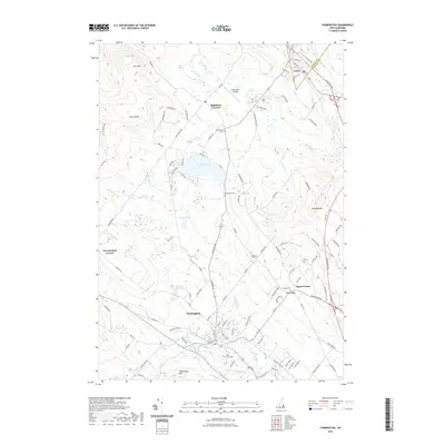 2021 Farmington2021 Print · USGSCovers Wakefield, including Farmington, Milton, and other nearby areas
 - 2021 Map of Sanbornville, 2021 Print
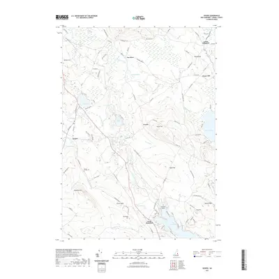
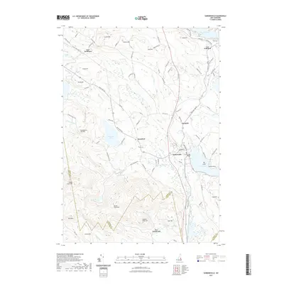 2021 Sanbornville2021 Print · USGSCovers Wakefield, including Milton, Wolfeboro, and other nearby areas
 - 2021 Map of Ossipee, 2021 Print
 2021 Ossipee2021 Print · USGSCovers Wakefield, including Ossipee, Wolfeboro, and other nearby areas
 - 2024 Map of West Newfield, 2024 Print
 2024 West Newfield2024 Print · USGSThe Maine and New Hampshire border comes alive in this study of York and Carroll Counties, showing the rural uplands as they appear today. Genealogists can trace family names through numerous small plots like the Doe Family Graveyard and Jacob L Taylor Cem near West Newfield.
 - 2024 Map of Farmington, 2024 Print
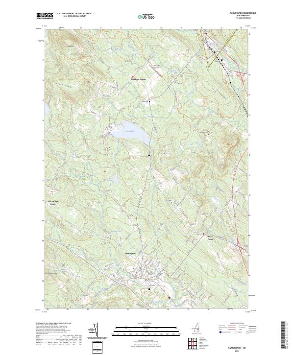 2024 Farmington2024 Print · USGSFarmington and the surrounding Strafford County ridges are documented here in the early twenty-first century as the landscape balances river-valley settlement with upland forests. Genealogists can locate several family burial grounds including Whitehouse Cem, Wentworth Cem, and Hayes Cem.
 - 2024 Map of Great East Lake, 2024 Print
 2024 Great East Lake2024 Print · USGSThe Maine and New Hampshire borderlands are seen here in the mid-2020s, showing a landscape defined by waterfront settlements and upland ridges. Researchers can locate numerous family burial grounds like Abagail Patch Cem or trace the early industrial roots of Milton Mills and South Acton.
 - 2024 Map of Sanbornville, 2024 Print
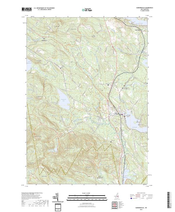 2024 Sanbornville2024 Print · USGSCarroll County's lakes and highlands are documented in this recent survey, showcasing the enduring settlement patterns around Sanbornville. Researchers can trace old family cemetery sites like Gage Hill Cem and the former rail path of the Inactive RR Trl.
 - 2024 Map of Ossipee, 2024 Print
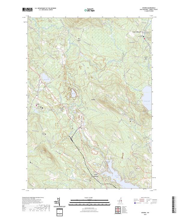 2024 Ossipee2024 Print · USGSThe Carroll County lake country is captured here in modern detail, from the village of Ossipee to the shores of Province Lake. Genealogists can locate numerous historic plots like the Glidden Goldsmith Cem and landmarks such as Chases Mill.
End of results
Showing maps 1-10 of 10
Top cities near Wakefield
- Rochester historical maps
- Sanford historical maps
- Berwick historical maps
- Waterboro historical maps
- Farmington historical maps
- Lebanon historical maps
See more
Top neighborhoods of Wakefield
- Union historical maps
- East Wakefield historical maps
- Woodman historical maps
- North Wakefield historical maps
- Sanbornville historical maps
- Wakefield Village Historic District historical maps
Frequently asked questions
- What are the different types of historical maps available for Wakefield?
- What is the oldest map of Wakefield?
- Where can I purchase historical maps of Wakefield for my home or office?
- Where can I download high-res historical maps of Wakefield?
- Are there historical topographic maps available for Wakefield?
- Is there historical aerial imagery available for Wakefield?
- Where are historical maps of Wakefield sourced from?