2000s (21st Century) Maps of Whitefield, New Hampshire
Explore 20 historic maps of Whitefield from the 2000s (21st Century). These maps offer a rare glimpse into what life looked like during the 2000s — showing old roads, neighborhoods, homes, and landmarks that have changed or disappeared over time.
Whether you're researching your family's past, planning a metal detecting trip, or studying how Whitefield's landscape evolved across the 2000s, these high-resolution maps are a powerful tool for exploring the history of this region.
- Focus on a specific era: All maps on this page are from the 2000s, giving you a focused view of this time period.
- See what’s changed: Compare century-old streets, trails, and buildings to today's modern landscape using overlays and satellite layers.
- Research with precision: Use these maps for genealogy, historical research, land use analysis, or educational projects.
- View, download, or print: Maps are fully viewable online in high resolution, and can be downloaded or printed for your own records.
Start exploring Whitefield's history through authentic maps from the 2000s. This is your window into the past.
Whitefield, NH maps
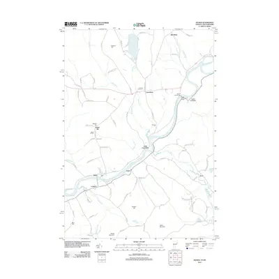
(20)- 2012 Map of Bethlehem, 2012 Print
 2012 Bethlehem2012 Print · USGSCovers Whitefield, including Littleton, Franconia, and other nearby areas
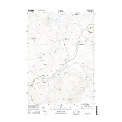
 - 2012 Map of Twin Mountain, 2012 Print
 2012 Twin Mountain2012 Print · USGSCovers Whitefield, including Jefferson, Bethlehem, and other nearby areas
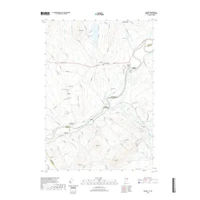
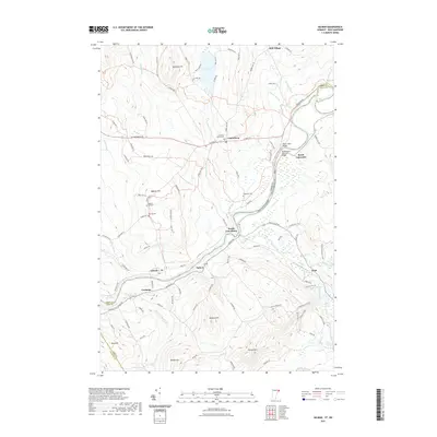
 - 2012 Map of Lancaster, 2012 Print
 2012 Lancaster2012 Print · USGSCovers Whitefield, including Lancaster, Lunenburg, and other nearby areas
 - 2012 Map of Gilman, 2012 Print
 2012 Gilman2012 Print · USGSCovers Whitefield, including Littleton, Lancaster, and other nearby areas
 - 2015 Map of Lancaster, 2015 Print
 2015 Lancaster2015 Print · USGSCovers Whitefield, including Lancaster, Lunenburg, and other nearby areas
 - 2015 Map of Bethlehem, 2015 Print
 2015 Bethlehem2015 Print · USGSCovers Whitefield, including Littleton, Franconia, and other nearby areas
 - 2015 Map of Twin Mountain, 2015 Print
 2015 Twin Mountain2015 Print · USGSCovers Whitefield, including Jefferson, Bethlehem, and other nearby areas
 - 2015 Map of Gilman, 2015 Print
 2015 Gilman2015 Print · USGSCovers Whitefield, including Littleton, Lancaster, and other nearby areas
 - 2018 Map of Gilman, 2018 Print
 2018 Gilman2018 Print · USGSCovers Whitefield, including Littleton, Lancaster, and other nearby areas
 - 2018 Map of Bethlehem, 2018 Print
 2018 Bethlehem2018 Print · USGSCovers Whitefield, including Littleton, Franconia, and other nearby areas
 - 2018 Map of Twin Mountain, 2018 Print
 2018 Twin Mountain2018 Print · USGSCovers Whitefield, including Jefferson, Bethlehem, and other nearby areas
 - 2018 Map of Lancaster, 2018 Print
 2018 Lancaster2018 Print · USGSCovers Whitefield, including Lancaster, Lunenburg, and other nearby areas
 - 2021 Map of Lancaster, 2021 Print
 2021 Lancaster2021 Print · USGSCovers Whitefield, including Lancaster, Lunenburg, and other nearby areas
 - 2021 Map of Twin Mountain, 2021 Print
 2021 Twin Mountain2021 Print · USGSCovers Whitefield, including Jefferson, Bethlehem, and other nearby areas
 - 2021 Map of Bethlehem, 2021 Print
 2021 Bethlehem2021 Print · USGSCovers Whitefield, including Littleton, Franconia, and other nearby areas
 - 2021 Map of Gilman, 2021 Print
 2021 Gilman2021 Print · USGSCovers Whitefield, including Littleton, Lancaster, and other nearby areas
 - 2024 Map of Bethlehem, 2024 Print
 2024 Bethlehem2024 Print · USGSGrafton County's high-country terrain and the valley of the Ammonoosuc River are shown here as they appear in the twenty-first century. Genealogists can locate family sites at the Mount Washington Cem and Maple Street Cem, or trace the old rail lines through Alderbrook.
 - 2024 Map of Lancaster, 2024 Print
 2024 Lancaster2024 Print · USGSCoos County settlement and the high terrain of the White Mountains come into focus in this contemporary survey of the Lancaster area. Researchers can trace the layout of the county seat, find family names at Kilkenny View Cem, and explore the marshes of the Silvio O Conte Refuge.
 - 2024 Map of Twin Mountain, 2024 Print
 2024 Twin Mountain2024 Print · USGSThe White Mountains region near Whitefield and Twin Mountain is captured here in the contemporary era. Researchers can locate several burial grounds like Straw Cem and Saint Margaret Cem or trace the legacy of the rails at Waumbeck Junction.
 - 2024 Map of Gilman, 2024 Print
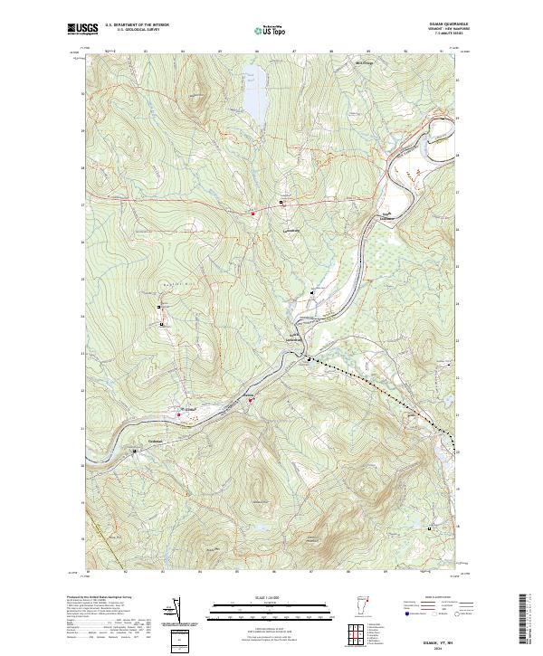 2024 Gilman2024 Print · USGSThe Vermont and New Hampshire borderlands along the Connecticut River are documented here in detail, showing a landscape defined by riverside hamlets and timbered hills. Researchers can trace family roots through several cemeteries like Baptist Hill Cem and Riverside Cem, or follow the former industrial corridors of an inactive RR Trl.
End of results
Showing maps 1-20 of 20
Top cities near Whitefield
- Berlin historical maps
- Littleton historical maps
- Lancaster historical maps
- Northumberland historical maps
- Lisbon historical maps
- Lunenburg historical maps
See more
Top neighborhoods of Whitefield
Frequently asked questions
- What are the different types of historical maps available for Whitefield?
- What is the oldest map of Whitefield?
- Where can I purchase historical maps of Whitefield for my home or office?
- Where can I download high-res historical maps of Whitefield?
- Are there historical topographic maps available for Whitefield?
- Is there historical aerial imagery available for Whitefield?
- Where are historical maps of Whitefield sourced from?