2000s (21st Century) Maps of Alexandria, New Hampshire
Explore 20 historic maps of Alexandria from the 2000s (21st Century). These maps offer a rare glimpse into what life looked like during the 2000s — showing old roads, neighborhoods, homes, and landmarks that have changed or disappeared over time.
Whether you're researching your family's past, planning a metal detecting trip, or studying how Alexandria's landscape evolved across the 2000s, these high-resolution maps are a powerful tool for exploring the history of this region.
- Focus on a specific era: All maps on this page are from the 2000s, giving you a focused view of this time period.
- See what’s changed: Compare century-old streets, trails, and buildings to today's modern landscape using overlays and satellite layers.
- Research with precision: Use these maps for genealogy, historical research, land use analysis, or educational projects.
- View, download, or print: Maps are fully viewable online in high resolution, and can be downloaded or printed for your own records.
Start exploring Alexandria's history through authentic maps from the 2000s. This is your window into the past.
Alexandria, NH maps
(20)- 2012 Map of Mount Cardigan, 2012 Print
 2012 Mount Cardigan2012 Print · USGSCovers Alexandria, including Grafton, Groton, and other nearby areas
 - 2012 Map of Danbury, 2012 Print
 2012 Danbury2012 Print · USGSCovers Alexandria, including Bristol, Grafton, and other nearby areas
 - 2012 Map of Newfound Lake, 2012 Print
 2012 Newfound Lake2012 Print · USGSCovers Alexandria, including Plymouth, Bristol, and other nearby areas
 - 2012 Map of Grafton, 2012 Print
 2012 Grafton2012 Print · USGSCovers Alexandria, including Grafton, Wilmot, and other nearby areas
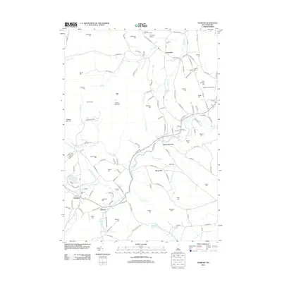
 - 2015 Map of Danbury, 2015 Print
 2015 Danbury2015 Print · USGSCovers Alexandria, including Bristol, Grafton, and other nearby areas
 - 2015 Map of Mount Cardigan, 2015 Print
 2015 Mount Cardigan2015 Print · USGSCovers Alexandria, including Grafton, Groton, and other nearby areas
 - 2015 Map of Grafton, 2015 Print
 2015 Grafton2015 Print · USGSCovers Alexandria, including Grafton, Wilmot, and other nearby areas
 - 2015 Map of Newfound Lake, 2015 Print
 2015 Newfound Lake2015 Print · USGSCovers Alexandria, including Plymouth, Bristol, and other nearby areas
 - 2018 Map of Newfound Lake, 2018 Print
 2018 Newfound Lake2018 Print · USGSCovers Alexandria, including Plymouth, Bristol, and other nearby areas
 - 2018 Map of Grafton, 2018 Print
 2018 Grafton2018 Print · USGSCovers Alexandria, including Grafton, Wilmot, and other nearby areas
 - 2018 Map of Danbury, 2018 Print
 2018 Danbury2018 Print · USGSCovers Alexandria, including Bristol, Grafton, and other nearby areas
 - 2018 Map of Mount Cardigan, 2018 Print
 2018 Mount Cardigan2018 Print · USGSCovers Alexandria, including Grafton, Groton, and other nearby areas
 - 2021 Map of Mount Cardigan, 2021 Print
 2021 Mount Cardigan2021 Print · USGSCovers Alexandria, including Grafton, Groton, and other nearby areas
 - 2021 Map of Newfound Lake, 2021 Print
 2021 Newfound Lake2021 Print · USGSCovers Alexandria, including Plymouth, Bristol, and other nearby areas
 - 2021 Map of Danbury, 2021 Print
 2021 Danbury2021 Print · USGSCovers Alexandria, including Bristol, Grafton, and other nearby areas
 - 2021 Map of Grafton, 2021 Print
 2021 Grafton2021 Print · USGSCovers Alexandria, including Grafton, Wilmot, and other nearby areas
 - 2024 Map of Mount Cardigan, 2024 Print
 2024 Mount Cardigan2024 Print · USGSThe town of Orange is captured in this modern survey, surrounded by the high peaks and forest trails of the Grafton County mountains. Trace family history at Orange Common Cem and French Cem, or follow the path of the Northern Rail-Trl and Mowglis Trl.
 - 2024 Map of Grafton, 2024 Print
 2024 Grafton2024 Print · USGSGrafton and the Smith River valley are captured in this modern survey of New Hampshire's granite uplands. Genealogists can trace family burial sites at Pine Grove Cem and Ford Cem, or follow the historic path of the Northern Rail Trl through East Grafton.
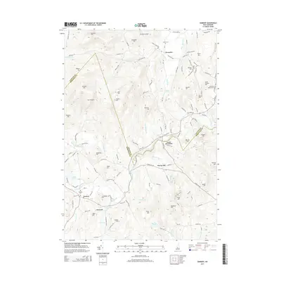
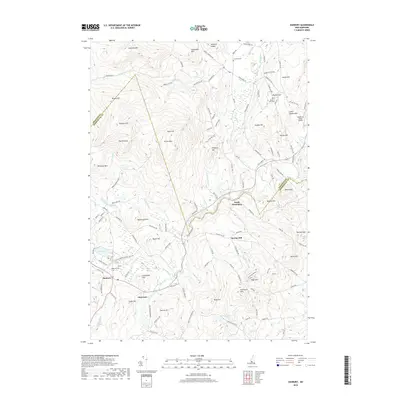
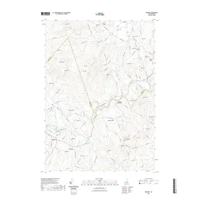
 - 2024 Map of Danbury, 2024 Print
 2024 Danbury2024 Print · USGSThe upland terrain of Merrimack and Grafton counties is documented here in the early twenty-first century, showing the rural character of Danbury. Genealogists can trace family landmarks like Rhoades Cem, Elmwood Cem, and the historic path of the Northern Rail Trl.
 - 2024 Map of Newfound Lake, 2024 Print
 2024 Newfound Lake2024 Print · USGSGrafton County's shoreline and high ridges are captured here as the modern landscape meets its deep colonial roots. Genealogists and local historians can locate family burial plots at Turnpike Cem and Pratt Cem or trace the early settlement at Hebron.
End of results
Showing maps 1-20 of 20
Top cities near Alexandria
- Franklin historical maps
- Northfield historical maps
- Plymouth historical maps
- Enfield historical maps
- New London historical maps
- Tilton historical maps
See more
Frequently asked questions
- What are the different types of historical maps available for Alexandria?
- What is the oldest map of Alexandria?
- Where can I purchase historical maps of Alexandria for my home or office?
- Where can I download high-res historical maps of Alexandria?
- Are there historical topographic maps available for Alexandria?
- Is there historical aerial imagery available for Alexandria?
- Where are historical maps of Alexandria sourced from?