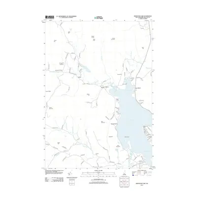
2012 Map of Newfound Lake
USGS Topo · Published 2012About this map
Newfound Lake serves as the central focal point of this Northern New Hampshire landscape, its shoreline defined by Sanborn Bay and Pasquaney Bay. The surrounding terrain transitions from the elevations of Mount Crosby and Tenney Mountain down to the narrow valley floors where the Cockermouth River and Fowler River flow toward the lake. Small lakeside settlements at Hebron and East Hebron reflect a long-standing recreational and community character, highlighted by the presence of Camp Pasquaney and Camp Berea.
Find a feature on this map
114 named features on this map. Tap any name to fly to it.
Don’t see what you’re looking for? This feature index may not catch every label — zoom into the map to look around manually.
Map Details
Editions of this 2012 Newfound Lake Map
This is the sole edition of this map. No revisions or reprints were ever made.
Other maps of this area

1925 · Holderness
USGS Topo · 1:62,500

1927 · Holderness
USGS Topo · 1:62,500

1927 · Cardigan
USGS Topo · 1:62,500

1928 · Plymouth
USGS Topo · 1:62,500

1928 · Rumney
USGS Topo · 1:62,500

1930 · Cardigan
USGS Topo · 1:62,500

1931 · Plymouth
USGS Topo · 1:62,500

1932 · Rumney
USGS Topo · 1:62,500

1949 · Portland
USGS Topo · 1:250,000

1956 · Cardigan
USGS Topo · 1:62,500