Old Maps of Alexandria, New Hampshire for Genealogy
Trace your family roots with 34 historic maps of Alexandria. These high-res maps reveal old neighborhoods, homesites, landmarks, and streets — helping you uncover where your ancestors lived and how the area evolved over time.
- Explore historic neighborhoods: Identify where your relatives may have lived in the 1800s or 1900s.
- Compare maps over time: Trace the changes in streets, buildings, and landmarks for multi-generational research.
- Perfect for genealogy & ancestry research: Used by family historians and researchers to map out lineage and migration.
These maps are an incredible resource for exploring your personal connection to Alexandria's past.
Alexandria, NH maps
(34)- 1927 Map of Cardigan, 1957 Print
 1927 Cardigan1957 Print · USGSGrafton and Merrimack Counties were defined by rail-side industry and early lakeside tourism in the late 1920s. Genealogists and historians can trace defunct schoolhouses like School No 8 and find deep-woods sites like the Alexandria Mica Mine.
 - 1930 Map of Cardigan
 1930 Cardigan1930 Print · USGSGrafton County's granite hills and lakeside settlements are captured here in the late prohibition era. Genealogists and hikers can trace the original locations of rural schoolhouses like Crawford Sch, the workings of the Alexandria Mica Mines, and the old rail stops at Grafton Sta.7 unique versions available
 - 1949 Map of Portland
 1949 Portland1949 Print · USGSCoastal Maine and the New Hampshire interior are shown in detail during the late forties, from the bustling harbors to the lakeside villages. Researchers can trace historical rail networks like the Boston & Maine RR and locate coastal defenses such as Fort Preble.3 unique versions available
 - 1956 Map of Cardigan, 1958 Print
 1956 Cardigan1958 Print · USGSGrafton County's high ridges and lake shores are captured here during the mid-fifties, showing the region's transition toward recreation and conservation. Genealogists and hikers can trace the Boston and Maine rail line through Grafton Center or locate old district sites like the Red Sch and Alexandria Mica Mine.3 unique versions available
 - 1956 Map of Portland, 1963 Print
 1956 Portland1963 Print · USGSSouthern Maine and eastern New Hampshire are captured here in the mid-fifties, during a time of major highway expansion and military growth. You can trace the path of the Maine Turnpike and locate landmarks like the Portsmouth Naval Shipyard and Sebago Lake.4 unique versions available
 - 1959 Map of Portland
 1959 Portland1959 Print · USGSThe Maine and New Hampshire coastlines meet in this mid-century portrait of maritime commerce and inland rail networks. Researchers can trace the legacy of coastal defense at Fort Williams and follow the historic path of the Maine Central RR through the White Mountain National Forest.2 unique versions available
 - 1963 Map of Portland
 1963 Portland1963 Print · USGSCoastal Maine and New Hampshire thrived as maritime and industrial hubs during the mid-sixties, linked by a dense network of rail and river. Researchers can trace historic transit corridors like the Maine Central RR and locate key sites such as the Portsmouth Naval Shipyard or Pease Air Force Base.3 unique versions available
 - 1986 Map of Lake Winnipesaukee
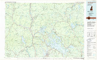 1986 Lake Winnipesaukee1986 Print · USGSThe Lakes Region in the mid-eighties shows a landscape of dense water bodies and mountain ranges at the peak of its twentieth-century character. Trace the legacy of old rail lines like the Boston and Maine RR and locate historic centers from Rumney Depot to Melvin Village.2 unique versions available
 - 1987 Map of Grafton
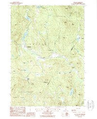 1987 Grafton1987 Print · USGSThe rural uplands of Grafton and Danbury appear in this late twentieth-century survey as a landscape of timbered hills and scattered ponds. Local historians can trace the foundations of old industry at Fords Mill, explore the rail connection at Grafton Center Cardigan Sta, or locate family sites near Robinson Corner.
 - 1987 Map of Newfound Lake
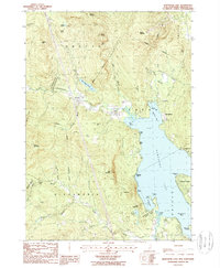 1987 Newfound Lake1987 Print · USGSGrafton County in the late 1980s reveals a region where mountainous terrain meets the deep waters of NEWFOUND LAKE. Researchers can trace the legacy of small settlements like Hebron or locate family landmarks near Wellington State Beach Park and the Sculptured Rocks State Wayside Area.
 - 1987 Map of Danbury
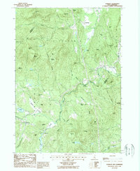 1987 Danbury1987 Print · USGSMerrimack and Grafton counties meet along the rugged ridgelines of this 1980s New Hampshire interior. Genealogists and local historians can trace family-named heights like Braley Hill and Taylor Hill or locate old cemeteries near Danbury and Elmwood.
 - 1987 Map of Mt. Cardigan
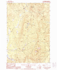 1987 Mt. Cardigan1987 Print · USGSGrafton County is shown here in the mid-1980s as a landscape of high peaks and protected forests. Genealogists and hikers can trace the geography around Orange, Bucks Corner, and landmark features like Cilleys Cave or the summit of Mt Cardigan.
 - 1998 Map of Mt. Cardigan, 2001 Print
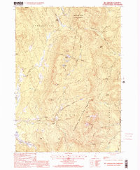 1998 Mt. Cardigan2001 Print · USGSGrafton County is shown here in the late twentieth century, centered on the high summits and state forests of the Cardigan range. Researchers can trace the layout of small settlements like Bucks Corner and Orange, or locate local landmarks like Cilleys Cave and the Mine.
 - 1998 Map of Newfound Lake, 2001 Print
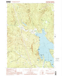 1998 Newfound Lake2001 Print · USGSGrafton County's lake country is captured here in the late nineties, showing the transition from the shores of Newfound Lake to the peaks of Fletcher Mountain. Local researchers can locate small family Cem sites, old Sandpits, and the distinct Sculptured Rocks State Geologic Site.
 - 2012 Map of Mount Cardigan, 2012 Print
 2012 Mount Cardigan2012 Print · USGSGrafton County's high peaks and river valleys are captured here in the early twenty-first century, showing the rural character of the New Hampshire highlands. Researchers can locate family landmarks like Tuttle Hill and Bucks Corner or trace the grounds of Orange Common Cem.
 - 2012 Map of Danbury, 2012 Print
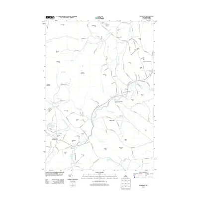 2012 Danbury2012 Print · USGSDanbury and Alexandria are seen here in the early twenty-first century, a landscape defined by upland summits and winding river valleys. Researchers can trace local heritage through landmarks like Riverside Cem, the Saint Pauls School Camp, and the Newfound Valley Airport.
 - 2012 Map of Newfound Lake, 2012 Print
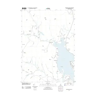 2012 Newfound Lake2012 Print · USGSThe northern reaches of Newfound Lake are captured here during the early twenty-first century, showing the established lakeside communities and mountain terrain. Genealogists and hikers can locate Hebron Village Cem, trace the Cockermouth River, and identify historic grounds like Camp Pasquaney.
 - 2012 Map of Grafton, 2012 Print
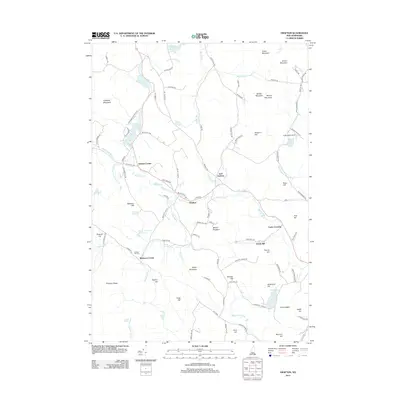 2012 Grafton2012 Print · USGSGrafton and its surrounding hill country are captured here in the early twenty-first century, revealing a landscape defined by mountain ridges and river valleys. Genealogists and hikers can trace old routes like Slab City Rd to find Prescott Hill Cem or locate former industrial sites like Fords Mill.
 - 2015 Map of Danbury, 2015 Print
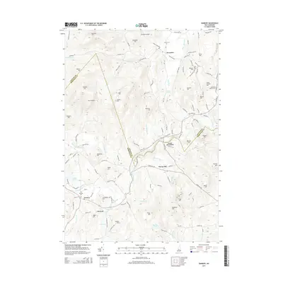 2015 Danbury2015 Print · USGSDanbury and Alexandria are shown in the mid-2010s as traditional New Hampshire communities shaped by the Smith River and rugged upland ridges. Researchers can locate family roots at Riverside Cemetery, trace the bounds of South Alexandria, or find local landmarks like the Newfound Valley Airport.
 - 2015 Map of Mount Cardigan, 2015 Print
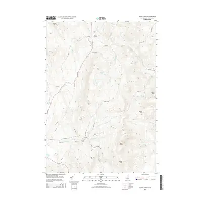 2015 Mount Cardigan2015 Print · USGSThe peaks of Grafton County are captured in this mid-2010s survey, showing the relationship between the high granite summits and the small valley settlements. Researchers can trace local landmarks like the Orange Common Cem and family-named features such as Tuttle Hill or Bucks Corner.
 - 2015 Map of Grafton, 2015 Print
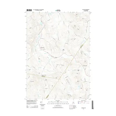 2015 Grafton2015 Print · USGSGrafton and its surrounding uplands are documented here in the mid-2010s, showing a landscape shaped by the Smith River and numerous high-country ponds. Local researchers can trace family landmarks at Robinson Corner, Fords Mill, and the Prescott Hill Cem.
 - 2015 Map of Newfound Lake, 2015 Print
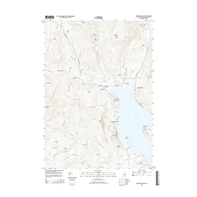 2015 Newfound Lake2015 Print · USGSGrafton County's Newfound Lake region is captured here in the mid-2010s, showcasing the lakeside communities of Hebron and Groton. Genealogists and hikers can trace historical sites like Hebron Village Cem or the paths leading toward Mount Cardigan and Sculptured Rocks.
 - 2018 Map of Newfound Lake, 2018 Print
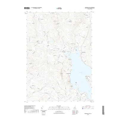 2018 Newfound Lake2018 Print · USGSGrafton County's New Hampshire highlands are captured here in the late 2010s, centered on the northern reaches of Newfound Lake. Genealogists and local historians can locate Hebron Village Cem, trace the Cockermouth River to the Sculptured Rocks, or explore the old routes through Groton and East Hebron.
 - 2018 Map of Grafton, 2018 Print
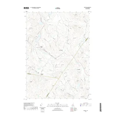 2018 Grafton2018 Print · USGSGrafton and its surrounding hill country are captured here at the junction of three New Hampshire counties. Researchers can trace family history through the Prescott Hill Cem or locate early settlements at Grafton Center, Robinson Corner, and Fords Mill.
 - 2018 Map of Danbury, 2018 Print
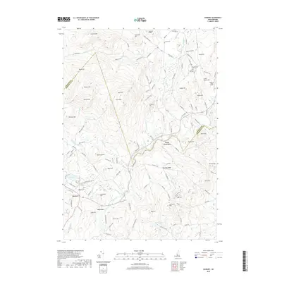 2018 Danbury2018 Print · USGSDanbury and the Smith River valley appear here in detail just before the turn of the decade. Researchers can trace family homesteads near Riverside Cem, locate the Newfound Valley Airport, and explore the high ground of Pillsbury Mtn or The Pinnacle.
Showing maps 1-25 of 34
Top cities near Alexandria
- Franklin historical maps
- Northfield historical maps
- Plymouth historical maps
- Enfield historical maps
- New London historical maps
- Tilton historical maps
See more
Frequently asked questions
- What are the different types of historical maps available for Alexandria?
- What is the oldest map of Alexandria?
- Where can I purchase historical maps of Alexandria for my home or office?
- Where can I download high-res historical maps of Alexandria?
- Are there historical topographic maps available for Alexandria?
- Is there historical aerial imagery available for Alexandria?
- Where are historical maps of Alexandria sourced from?