2020s Maps of Piermont, New Hampshire
Explore 8 historic maps of Piermont from the 2020s. These maps offer a rare glimpse into what life looked like during the 2020s — showing old roads, neighborhoods, homes, and landmarks that have changed or disappeared over time.
Whether you're researching your family's past, planning a metal detecting trip, or studying how Piermont's landscape evolved across the 2020s, these high-resolution maps are a powerful tool for exploring the history of this region.
- Focus on a specific era: All maps on this page are from the 2020s, giving you a focused view of this time period.
- See what’s changed: Compare century-old streets, trails, and buildings to today's modern landscape using overlays and satellite layers.
- Research with precision: Use these maps for genealogy, historical research, land use analysis, or educational projects.
- View, download, or print: Maps are fully viewable online in high resolution, and can be downloaded or printed for your own records.
Start exploring Piermont's history through authentic maps from the 2020s. This is your window into the past.
Piermont, NH maps
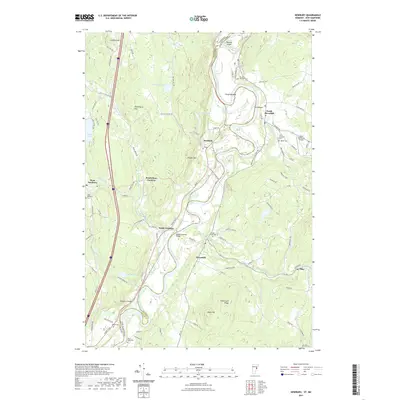
(8)- 2021 Map of Warren, 2021 Print
 2021 Warren2021 Print · USGSCovers Piermont, including Haverhill, Orford, and other nearby areas
 - 2021 Map of Piermont, 2021 Print
 2021 Piermont2021 Print · USGSCovers Piermont, including Orford, Bradford, and other nearby areas
 - 2021 Map of East Haverhill, 2021 Print
 2021 East Haverhill2021 Print · USGSCovers Piermont, including Haverhill, Bath, and other nearby areas
 - 2021 Map of Newbury, 2021 Print
 2021 Newbury2021 Print · USGSCovers Piermont, including Haverhill, Newbury, and other nearby areas
 - 2024 Map of East Haverhill, 2024 Print
 2024 East Haverhill2024 Print · USGSGrafton County's high ridges and rural valley settlements are captured here during the twenty-first century. Genealogists and historians can trace family locations through numerous rural burial grounds like Number 6 Cem, Center Haverhill Cem, and the high-elevation Benton Cem.
 - 2024 Map of Piermont, 2024 Print
 2024 Piermont2024 Print · USGSThe Upper Connecticut River Valley comes into focus in this contemporary survey of the New Hampshire and Vermont border. Genealogists and hikers can trace family plots at Cedar Grove Cem or follow the high-elevation path of the Appalachian National Scenic Trail over Mt Cube.
 - 2024 Map of Warren, 2024 Print
 2024 Warren2024 Print · USGSThe Baker River valley and the interior of the White Mountains are shown here in modern detail. Researchers can trace family history through the Warren Village Cem and High Street Cem, or locate landmarks like Glencliff and Ore Hill.
 - 2024 Map of Newbury, 2024 Print
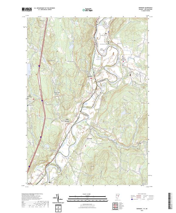 2024 Newbury2024 Print · USGSThe Connecticut River valley at the turn of the twenty-first century reveals a landscape of fertile oxbows and long-standing village centers. Local historians can trace family roots at Oxbow Cemetery and follow the route of the Inactive Railroad Trail.
End of results
Showing maps 1-8 of 8
Top cities near Piermont
- Hanover historical maps
- Haverhill historical maps
- Norwich historical maps
- Newbury historical maps
- Newbury Village historical maps
- Lyme historical maps
See more
Frequently asked questions
- What are the different types of historical maps available for Piermont?
- What is the oldest map of Piermont?
- Where can I purchase historical maps of Piermont for my home or office?
- Where can I download high-res historical maps of Piermont?
- Are there historical topographic maps available for Piermont?
- Is there historical aerial imagery available for Piermont?
- Where are historical maps of Piermont sourced from?