Old Maps of Loudon, New Hampshire for Academic Research
Study the evolution of Loudon with 44 high-resolution historic maps. Whether you're teaching, researching, or modeling changes in land use, these maps provide essential visual documentation of urban, environmental, and geographic change.
- Analyze long-term change: Track patterns in development, transportation, and natural features.
- Ideal for environmental or urban studies: Support academic projects with primary historical map data.
- Use in the classroom or lab: Educators and researchers rely on these maps to bring historical context to life.
These maps are a powerful tool for teaching, research, and visualizing how Loudon has changed over the decades.
Loudon, NH maps
(44)- 1919 Map of Gilmanton
 1919 Gilmanton1919 Print · USGSBelknap and Merrimack counties are mapped here just after the Great War, showing a landscape of specialized hamlets and water-driven industry. Researchers can trace the Suncook Valley RR and locate ancestral landmarks like Shaker Village or the Smith Meetinghouse.2 unique versions available
 - 1921 Map of Suncook
 1921 Suncook1921 Print · USGSMerrimack and Suncook River valleys thrive in the early 1920s as bustling centers of rail travel and local education. Genealogists can locate family homesteads near dozens of rural schoolhouses like Borough School or trace the old Boston and Maine Railroad through Suncook and Hooksett.5 unique versions available
 - 1927 Map of Penacook
 1927 Penacook1927 Print · USGSThe Merrimack and Winnipesaukee valleys in the mid-1920s reveal a landscape of river-powered industry and rural school districts. Researchers can trace dozens of family-named landmarks and institutions, from Kezer Seminary to the Soldiers Home and Swetts Mills.8 unique versions available
 - 1927 Map of Gilmanton
 1927 Gilmanton1927 Print · USGSBelknap and Merrimack Counties appear here in the late twenties, showing a landscape of rural schoolhouses and established hill towns. Genealogists can trace family names through landmarks like Smith Meetinghouse, Shaker Village, and the South Pittsfield Friends Meetinghouse.5 unique versions available
 - 1944 Map of Suncook
 1944 Suncook1944 Print · USGSSuncook and the surrounding New Hampshire hill towns are captured in the 1940s as industry met a rugged landscape. Trace ancestral homes and community hubs like Candia Station, the Sanitarium, and the Buck Street Sch during this era of transition.
 - 1949 Map of Portland
 1949 Portland1949 Print · USGSCoastal Maine and the New Hampshire interior are shown in detail during the late forties, from the bustling harbors to the lakeside villages. Researchers can trace historical rail networks like the Boston & Maine RR and locate coastal defenses such as Fort Preble.3 unique versions available
 - 1956 Map of Penacook, 1959 Print
 1956 Penacook1959 Print · USGSMerrimack County’s river valleys and rail lines are captured here in the mid-fifties, showing the industrial and civic hubs of Franklin and Penacook. Genealogists can locate family landmarks like Snyders Mill and Gerrish Corner or historic sites like the Daniel Webster Birthplace.3 unique versions available
 - 1956 Map of Portland, 1963 Print
 1956 Portland1963 Print · USGSSouthern Maine and eastern New Hampshire are captured here in the mid-fifties, during a time of major highway expansion and military growth. You can trace the path of the Maine Turnpike and locate landmarks like the Portsmouth Naval Shipyard and Sebago Lake.4 unique versions available
 - 1957 Map of Suncook, 1959 Print
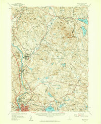 1957 Suncook1959 Print · USGSCentral New Hampshire comes into focus during the late fifties, capturing the growth of Manchester and the surrounding river valleys. Genealogists can trace family names at Pembroke Cem or locate historic schools like Pembroke Academy and Center Sch.4 unique versions available
 - 1957 Map of Gilmanton, 1960 Print
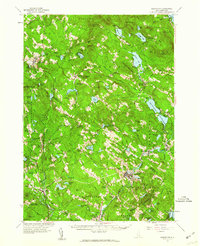 1957 Gilmanton1960 Print · USGSBelknap and Merrimack Counties are shown in the late 1950s, a period when rural schoolhouses and communal religious sites still anchored these small towns. Researchers can locate family landmarks like Pearls Corner, the historic Shaker Village, and the prominent Gilmanton Ironworks settlement.5 unique versions available
 - 1959 Map of Portland
 1959 Portland1959 Print · USGSThe Maine and New Hampshire coastlines meet in this mid-century portrait of maritime commerce and inland rail networks. Researchers can trace the legacy of coastal defense at Fort Williams and follow the historic path of the Maine Central RR through the White Mountain National Forest.2 unique versions available
 - 1963 Map of Portland
 1963 Portland1963 Print · USGSCoastal Maine and New Hampshire thrived as maritime and industrial hubs during the mid-sixties, linked by a dense network of rail and river. Researchers can trace historic transit corridors like the Maine Central RR and locate key sites such as the Portsmouth Naval Shipyard or Pease Air Force Base.3 unique versions available
 - 1967 Map of Suncook, 1971 Print
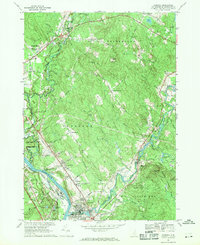 1967 Suncook1971 Print · USGSMerrimack County communities are captured in the late sixties as the river-and-rail economy transitioned toward modern regional growth. Researchers can trace family roots at Stanley Cem, explore the historic Pembroke Academy, or follow the Boston and Maine Railroad through Suncook.3 unique versions available
 - 1986 Map of Concord
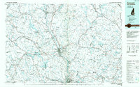 1986 Concord1986 Print · USGSCentral New Hampshire in the mid-eighties shows a landscape of river-valley cities and rural villages connected by the growing interstate system. Genealogists and historians can trace old community centers like Gilmanton Ironworks or follow the Boston and Maine Railroad through Concord and Tilton.
 - 1987 Map of Penacook
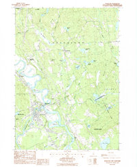 1987 Penacook1987 Print · USGSThe Merrimack and Contoocook rivers converge near Penacook in the late eighties, showing a landscape shaped by river power and early rail. Genealogists and local historians can trace family-named features like Cogswell Hill, Morrill Pond, and the Hannah Dustin Historical Site.
 - 1987 Map of Pittsfield
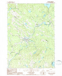 1987 Pittsfield1987 Print · USGSMerrimack County comes into focus in the late 1980s as the Suncook River flows through the industrial hub of Pittsfield. Genealogists and local historians can trace the Old Railroad Grade or locate family landmarks like Websters Mill and Sanborn Hill.
 - 1987 Map of Belmont
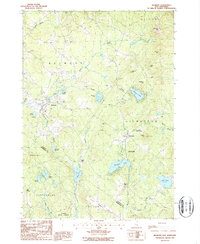 1987 Belmont1987 Print · USGSBelknap County at the close of the eighties shows a landscape of deep forests and quiet mill towns. Genealogists and local historians can trace family-named sites like Aliens Mills, Jones Mills, and the heights of Loudon Ridge.
 - 1987 Map of Loudon
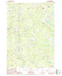 1987 Loudon1987 Print · USGSMerrimack County in the late 1980s reveals a landscape of enduring village centers and river-fed forests. Researchers can trace the heritage of Shaker Village, locate the waters of Carding Mill Pond, and explore the hills around Loudon Center.2 unique versions available
 - 1988 Map of Concord
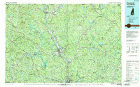 1988 Concord1988 Print · USGSCentral New Hampshire in the late eighties centers on the industrial and political hub of Concord. Researchers can trace the Boston and Maine RR along the Merrimack River or locate recreation landmarks like Bear Brook State Park and Massabesic Lake.
 - 2012 Map of Belmont, 2012 Print
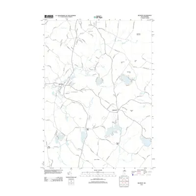 2012 Belmont2012 Print · USGSBelknap County at the start of the twenty-first century reveals a network of historic mill villages and scenic highlands. Genealogists and hikers can trace family sites at Ham Cem, explore old industry at Allens Mills, or locate properties near Sawyer Lake.
 - 2012 Map of Loudon, 2012 Print
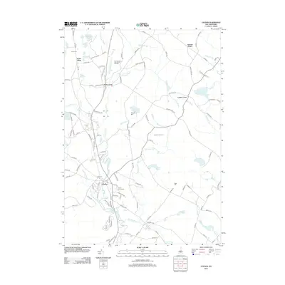 2012 Loudon2012 Print · USGSThe Merrimack County highlands appear here in the early 2010s, showing a landscape defined by historic settlement and modern recreation. Researchers can trace the heritage of Shaker Village and Loudon Center alongside newer landmarks like the New Hampshire International Speedway.
 - 2012 Map of Pittsfield, 2012 Print
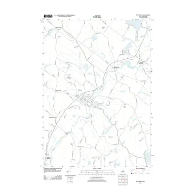 2012 Pittsfield2012 Print · USGSMerrimack County comes into focus in the early 2010s, centering on the river valleys and highlands of central New Hampshire. Researchers can trace family landmarks and local transit at Websters Mill, Floral Park Cem, and the historic Pittsfield Fairgrounds.
 - 2012 Map of Suncook, 2012 Print
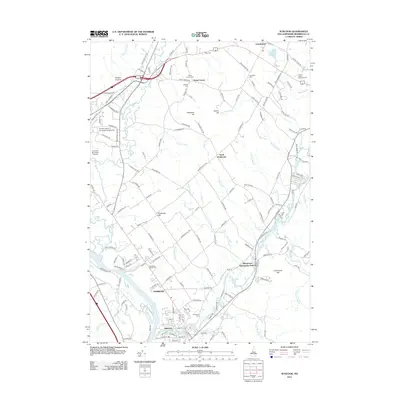 2012 Suncook2012 Print · USGSThe Merrimack and Suncook River valleys are captured here in the early twenty-first century, showing the established town of Pembroke and the village of Suncook. Researchers can trace local history through numerous burial sites like Knowlton Cem and landmarks such as Franklin Pierce University at Concord.
 - 2012 Map of Penacook, 2012 Print
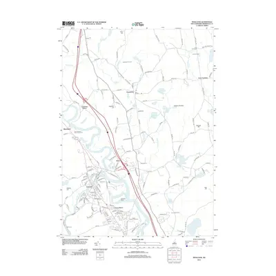 2012 Penacook2012 Print · USGSThe Merrimack Valley and the village of Penacook are shown in detail just after the millennium, where river-driven industry meets hilltop farming. Researchers can locate family landmarks like Kezer Seminary, Hackleboro Orchards, and the Shell Church Cem.
 - 2015 Map of Belmont, 2015 Print
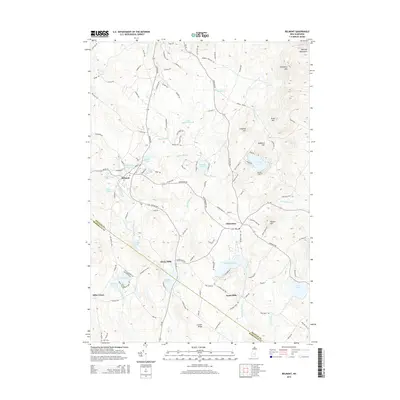 2015 Belmont2015 Print · USGSBelknap County at the mid-decade reveals a landscape of high ridges and significant water bodies. Genealogists and researchers can trace the vicinity of Belmont and Gilmanton, or locate family sites near Jones Mills, Ham Cem, and Shellcamp Pond.
Showing maps 1-25 of 44
Top cities near Loudon
- Concord historical maps
- Laconia historical maps
- Hooksett historical maps
- Weare historical maps
- Franklin historical maps
- Gilford historical maps
See more
Top neighborhoods of Loudon
Frequently asked questions
- What are the different types of historical maps available for Loudon?
- What is the oldest map of Loudon?
- Where can I purchase historical maps of Loudon for my home or office?
- Where can I download high-res historical maps of Loudon?
- Are there historical topographic maps available for Loudon?
- Is there historical aerial imagery available for Loudon?
- Where are historical maps of Loudon sourced from?