2000s (21st Century) Maps of Auburn, New Hampshire
Explore 20 historic maps of Auburn from the 2000s (21st Century). These maps offer a rare glimpse into what life looked like during the 2000s — showing old roads, neighborhoods, homes, and landmarks that have changed or disappeared over time.
Whether you're researching your family's past, planning a metal detecting trip, or studying how Auburn's landscape evolved across the 2000s, these high-resolution maps are a powerful tool for exploring the history of this region.
- Focus on a specific era: All maps on this page are from the 2000s, giving you a focused view of this time period.
- See what’s changed: Compare century-old streets, trails, and buildings to today's modern landscape using overlays and satellite layers.
- Research with precision: Use these maps for genealogy, historical research, land use analysis, or educational projects.
- View, download, or print: Maps are fully viewable online in high resolution, and can be downloaded or printed for your own records.
Start exploring Auburn's history through authentic maps from the 2000s. This is your window into the past.
Auburn, NH maps
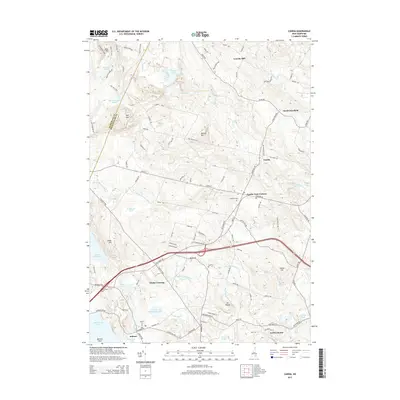
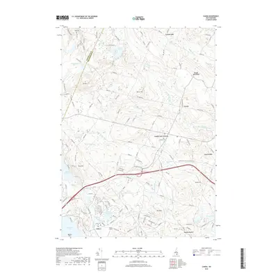
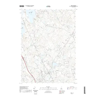
(20)- 2012 Map of Candia, 2012 Print
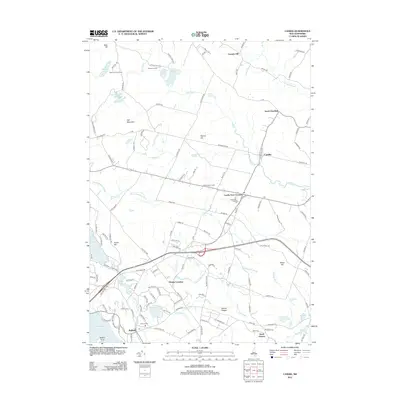 2012 Candia2012 Print · USGSCovers Auburn, including Hooksett, Chester, and other nearby areas
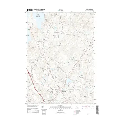
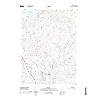
 - 2012 Map of Derry, 2012 Print
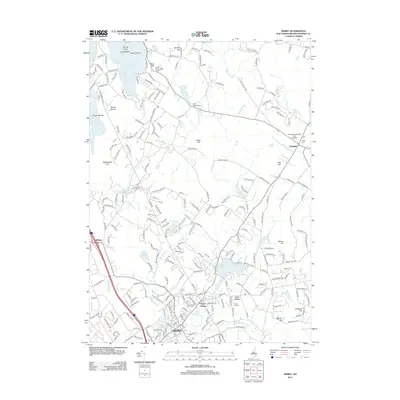 2012 Derry2012 Print · USGSCovers Auburn, including Derry, Londonderry, and other nearby areas
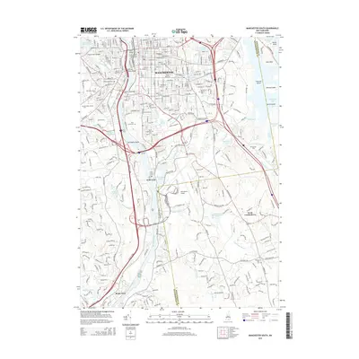
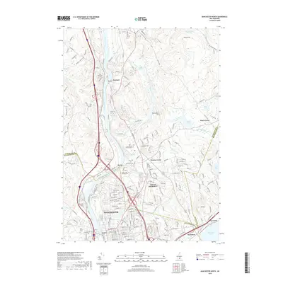
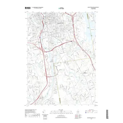
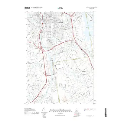
 - 2012 Map of Manchester South, 2012 Print
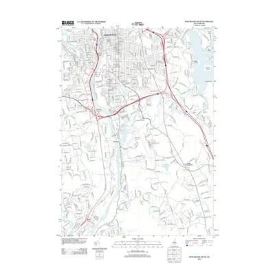 2012 Manchester South2012 Print · USGSCovers Auburn, including Manchester, Merrimack, and other nearby areas
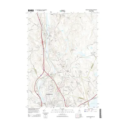
 - 2012 Map of Manchester North, 2012 Print
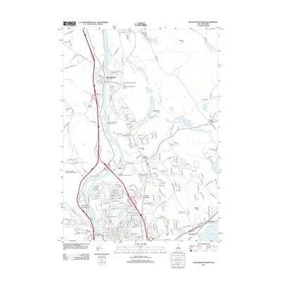 2012 Manchester North2012 Print · USGSCovers Auburn, including Manchester, Hooksett, and other nearby areas
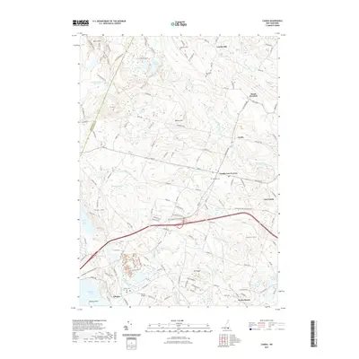
 - 2015 Map of Candia, 2015 Print
 2015 Candia2015 Print · USGSCovers Auburn, including Hooksett, Chester, and other nearby areas
 - 2015 Map of Manchester North, 2015 Print
 2015 Manchester North2015 Print · USGSCovers Auburn, including Manchester, Hooksett, and other nearby areas
 - 2015 Map of Derry, 2015 Print
 2015 Derry2015 Print · USGSCovers Auburn, including Derry, Londonderry, and other nearby areas
 - 2015 Map of Manchester South, 2015 Print
 2015 Manchester South2015 Print · USGSCovers Auburn, including Manchester, Merrimack, and other nearby areas
 - 2018 Map of Manchester North, 2018 Print
 2018 Manchester North2018 Print · USGSCovers Auburn, including Manchester, Hooksett, and other nearby areas
 - 2018 Map of Candia, 2018 Print
 2018 Candia2018 Print · USGSCovers Auburn, including Hooksett, Chester, and other nearby areas
 - 2018 Map of Manchester South, 2018 Print
 2018 Manchester South2018 Print · USGSCovers Auburn, including Manchester, Merrimack, and other nearby areas
 - 2018 Map of Derry, 2018 Print
 2018 Derry2018 Print · USGSCovers Auburn, including Derry, Londonderry, and other nearby areas
 - 2021 Map of Derry, 2021 Print
 2021 Derry2021 Print · USGSCovers Auburn, including Derry, Londonderry, and other nearby areas
 - 2021 Map of Candia, 2021 Print
 2021 Candia2021 Print · USGSCovers Auburn, including Hooksett, Chester, and other nearby areas
 - 2021 Map of Manchester South, 2021 Print
 2021 Manchester South2021 Print · USGSCovers Auburn, including Manchester, Merrimack, and other nearby areas
 - 2021 Map of Manchester North, 2021 Print
 2021 Manchester North2021 Print · USGSCovers Auburn, including Manchester, Hooksett, and other nearby areas
 - 2024 Map of Candia, 2024 Print
 2024 Candia2024 Print · USGSRockingham County at the contemporary moment preserves a landscape of traditional New Hampshire crossroads and quiet water bodies. Genealogists and local historians can trace family burial sites like Granite Cem and Woodman Cem or explore the shoreline of Massabesic Lake and Spruce Pond.
 - 2024 Map of Manchester North, 2024 Print
 2024 Manchester North2024 Print · USGSThe Merrimack River valley north of Manchester shows its modern suburban character alongside deep-rooted local history in this recent survey. Researchers can locate several historic burial grounds like Riverside Cem or trace the path of the Inactive RR Trl near The Pinnacle.
 - 2024 Map of Derry, 2024 Print
 2024 Derry2024 Print · USGSRockingham County is shown here in its modern era, where established villages like Chester and East Derry sit amidst a network of natural lakes and hills. Researchers can trace the transition from rail to trail along Trolley Car Ln and find family sites at the Old-Hill Graveyard.
 - 2024 Map of Manchester South, 2024 Print
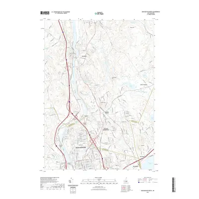
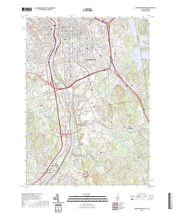 2024 Manchester South2024 Print · USGSThe riverfront communities south of Manchester come to life in this contemporary survey of the Hillsborough and Rockingham county line. Researchers can trace the heritage of old burial grounds like Goffs Falls Cem and the Reeds Ferry Graveyard or explore the conversion of rail corridors like the Rockingham Rec Rail-Trl.
End of results
Showing maps 1-20 of 20
Top cities near Auburn
- Manchester historical maps
- Nashua historical maps
- Haverhill historical maps
- Methuen historical maps
- Concord historical maps
- Derry historical maps
See more
Frequently asked questions
- What are the different types of historical maps available for Auburn?
- What is the oldest map of Auburn?
- Where can I purchase historical maps of Auburn for my home or office?
- Where can I download high-res historical maps of Auburn?
- Are there historical topographic maps available for Auburn?
- Is there historical aerial imagery available for Auburn?
- Where are historical maps of Auburn sourced from?