Old Maps of Newfields, New Hampshire for Metal Detecting
Plan your next treasure hunt with 30 historic maps of Newfields. Find old homesites, ghost towns, trails, and gathering spots that may be lost to time — perfect for identifying promising metal detecting locations.
- Locate forgotten sites: Uncover places like long-lost settlements, abandoned rail lines, or gathering spots.
- Plan better hunts: Use map overlays combined with LiDAR or satellite views to narrow in on historically rich areas.
- Made for detectorists: Thousands of hobbyists use these maps to discover relics, coins, and hidden history.
Use these historic maps to boost your research and find new opportunities beneath the surface of Newfields.
Newfields, NH maps
(30)- 1893 Map of Dover
 1893 Dover1893 Print · USGSThe Maine and New Hampshire borderlands come alive in this late nineteenth-century survey of the Seacoast and Piscataqua River regions. Genealogists and historians can trace defunct rail stops like Barrington Station and South Newmarket Junction or locate the industrial Great Works mill.5 unique versions available
 - 1916 Map of Dover
 1916 Dover1916 Print · USGSCoastal New Hampshire and the Maine borderlands are captured here during the height of the rail era. Genealogists can locate dozens of district schools like Madbury School and trace the paths of the Boston and Maine Railroad through Portsmouth and Dover.2 unique versions available
 - 1917 Map of Mt. Pawtuckaway, 1957 Print
 1917 Mt. Pawtuckaway1957 Print · USGSSoutheast New Hampshire in the early 1900s was a landscape of concentrated village centers and active rail lines. Genealogists can locate family landmarks like Rundlett Hills and Winkley School or trace the early paths of the Isinglass River and Pawtuckaway Pond.
 - 1918 Map of Dover
 1918 Dover1918 Print · USGSCoastal New Hampshire and the Maine borderlands are captured here during the First World War era, showing a landscape defined by tidal rivers and rail networks. Genealogists can trace family landmarks and early civic life through the State College in Durham, the Kittery Depot, and local schoolhouses like Marshwood.6 unique versions available
 - 1919 Map of Mt. Pawtuckaway
 1919 Mt. Pawtuckaway1919 Print · USGSSoutheastern New Hampshire is captured just after the Great War, showing a landscape of upland farms and rural villages connected by the Boston and Maine Railroad. Genealogists can locate family-named landmarks and institutions like the Winkley School, Nottingham Square, and the County Farm.5 unique versions available
 - 1939 Map of Mt. Pawtuckaway
 1939 Mt. Pawtuckaway1939 Print · USGSSoutheastern New Hampshire is shown just before the mid-century as a land of granite hills, numerous ponds, and deep-rooted villages. Trace the path of the Boston and Maine Railroad or locate family sites like the Poore Farm School and Nottingham Square.
 - 1941 Map of Dover
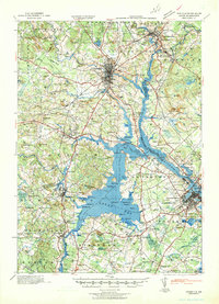 1941 Dover1941 Print · USGSCoastal New Hampshire and the Maine borderlands are captured here just before the mobilization of the early 1940s. Genealogists can trace family lands near Garrison Hill, old district schools like Witchtrot Sch, and the rail depots at Greenland Village Sta.
 - 1944 Map of Mt. Pawtuckaway
 1944 Mt. Pawtuckaway1944 Print · USGSMid-century Rockingham and Strafford counties are captured here at a time when rural schoolhouses and rail lines still defined the local landscape. Genealogists can trace family names across Winkley Sch and Philbrick Sch, or locate vanished industries like the Deer Mill and the Boston and Maine Railroad.
 - 1949 Map of Portland
 1949 Portland1949 Print · USGSCoastal Maine and the New Hampshire interior are shown in detail during the late forties, from the bustling harbors to the lakeside villages. Researchers can trace historical rail networks like the Boston & Maine RR and locate coastal defenses such as Fort Preble.3 unique versions available
 - 1956 Map of Newmarket, 1958 Print
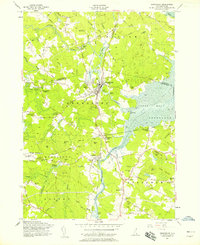 1956 Newmarket1958 Print · USGSCoastal New Hampshire's river-fed mill towns and rail junctions are caught in detail during the mid-1950s. Genealogists and historians can trace family plots at Riverside Cem or locate the vital rail hub at Rockingham Junction and the small settlement of Littlefield.5 unique versions available
 - 1956 Map of Dover, 1960 Print
 1956 Dover1960 Print · USGSCoastal New Hampshire and the Maine borderlands are captured here during a period of massive transition as modern infrastructure meets historic mill towns. Researchers can trace the development of Pease Air Force Base or locate family roots at Winnicut Mills and Packers Falls Cem.4 unique versions available
 - 1956 Map of Portland, 1963 Print
 1956 Portland1963 Print · USGSSouthern Maine and eastern New Hampshire are captured here in the mid-fifties, during a time of major highway expansion and military growth. You can trace the path of the Maine Turnpike and locate landmarks like the Portsmouth Naval Shipyard and Sebago Lake.4 unique versions available
 - 1957 Map of Mt. Pawtuckaway, 1959 Print
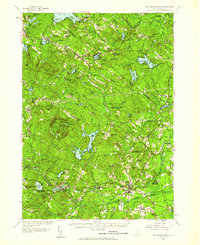 1957 Mt. Pawtuckaway1959 Print · USGSRockingham and Strafford counties are shown in the late fifties, featuring a network of traditional villages and expanding recreational lakes. Researchers can trace historic sites like Nottingham Square, Deerfield Parade, and the Watson Academy.4 unique versions available
 - 1959 Map of Portland
 1959 Portland1959 Print · USGSThe Maine and New Hampshire coastlines meet in this mid-century portrait of maritime commerce and inland rail networks. Researchers can trace the legacy of coastal defense at Fort Williams and follow the historic path of the Maine Central RR through the White Mountain National Forest.2 unique versions available
 - 1963 Map of Portland
 1963 Portland1963 Print · USGSCoastal Maine and New Hampshire thrived as maritime and industrial hubs during the mid-sixties, linked by a dense network of rail and river. Researchers can trace historic transit corridors like the Maine Central RR and locate key sites such as the Portsmouth Naval Shipyard or Pease Air Force Base.3 unique versions available
 - 1981 Map of Epping
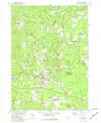 1981 Epping1981 Print · USGSIn the early 1980s, the Rockingham County countryside remained a patchwork of small villages, historic river systems, and rail corridors. Researchers can trace ancestral plots and early civic life through Nottingham Square, the Ladd Cem, and the old Boston and Maine Railroad lines.
 - 1985 Map of Kittery, 1986 Print
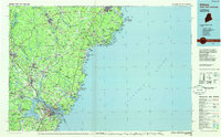 1985 Kittery1986 Print · USGSThe Maine and New Hampshire borderlands are shown here in the mid-eighties, centered on the strategic Piscataqua River harbor. Genealogists and historians can trace the development of coastal towns like York or locate the sprawling Portsmouth Naval Shipyard and Pease Air Force Base.2 unique versions available
 - 1986 Map of Concord
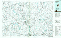 1986 Concord1986 Print · USGSCentral New Hampshire in the mid-eighties shows a landscape of river-valley cities and rural villages connected by the growing interstate system. Genealogists and historians can trace old community centers like Gilmanton Ironworks or follow the Boston and Maine Railroad through Concord and Tilton.
 - 1988 Map of Concord
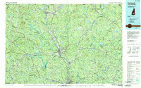 1988 Concord1988 Print · USGSCentral New Hampshire in the late eighties centers on the industrial and political hub of Concord. Researchers can trace the Boston and Maine RR along the Merrimack River or locate recreation landmarks like Bear Brook State Park and Massabesic Lake.
 - 1995 Map of Epping, 1999 Print
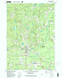 1995 Epping1999 Print · USGSRockingham County at the close of the twentieth century remains a landscape of historic river villages and rural cemeteries. Genealogists can trace family names at Plumer Cem and Sleeper Cem, or explore old centers like Nottingham Square and Wadley Falls.
 - 2012 Map of Newmarket, 2012 Print
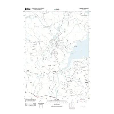 2012 Newmarket2012 Print · USGSCoastal New Hampshire's river systems converge at the Great Bay in the early twenty-first century, showing a landscape shaped by water and tradition. Genealogists can trace family names at Cheswell Cem and Norton Cem, or locate landmarks like Stratham Station and the Stratham Fairgrounds.
 - 2012 Map of Epping, 2012 Print
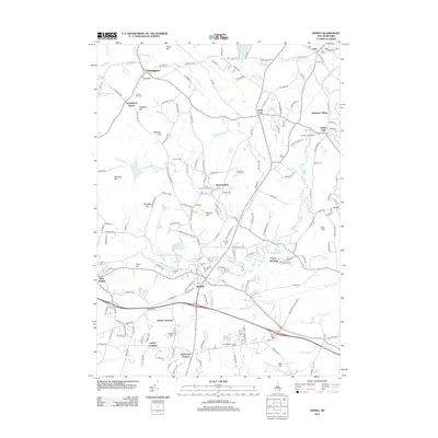 2012 Epping2012 Print · USGSRockingham County at the start of the 2010s shows a landscape of river-side villages and historical family farmsteads. Researchers can trace ancestral sites and local landmarks like the Rockingham County Farm, Quaker Cem, and the old rail corridor at Martin Crossing.
 - 2015 Map of Newmarket, 2015 Print
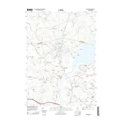 2015 Newmarket2015 Print · USGSThe coastal junction of the Lamprey and Squamscott rivers comes into focus in this early twenty-first-century survey of Rockingham County. Researchers can trace numerous family burial sites like Cheswell Cem or explore rail history at Stratham Station.
 - 2015 Map of Epping, 2015 Print
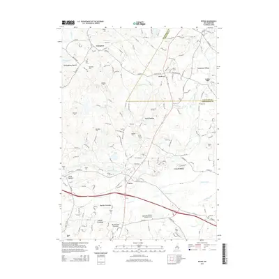 2015 Epping2015 Print · USGSThe Rockingham County countryside unfolds in the mid-2010s, centered on the historic crossroads of Epping and South Lee. Genealogists and historians can trace family land via name-bearing landmarks like Jones Hill and numerous burial sites such as Sleeper Cem and Lawrence Yard Cem.
 - 2018 Map of Epping, 2018 Print
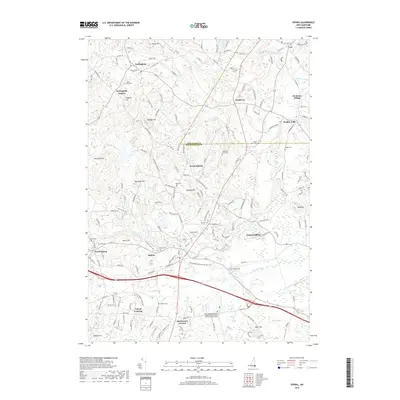 2018 Epping2018 Print · USGSRockingham County is captured here in the late 2010s, showing a landscape defined by the Lamprey River and the transition of old rail corridors. Researchers can locate numerous family and community burial grounds, including the Sleeper Cem, Ladd Cem, and Prospect Cem.
Showing maps 1-25 of 30
Top cities near Newfields
- Haverhill historical maps
- Dover historical maps
- Rochester historical maps
- Salem historical maps
- Portsmouth historical maps
- Newburyport historical maps
See more
Top neighborhoods of Newfields
Frequently asked questions
- What are the different types of historical maps available for Newfields?
- What is the oldest map of Newfields?
- Where can I purchase historical maps of Newfields for my home or office?
- Where can I download high-res historical maps of Newfields?
- Are there historical topographic maps available for Newfields?
- Is there historical aerial imagery available for Newfields?
- Where are historical maps of Newfields sourced from?