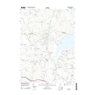
2015 Map of Newmarket
USGS Topo · Published 2015About this map
Newmarket serves as a primary hub where the Lamprey River flows toward the Great Bay, a landscape defined by its tidal rivers and historic transport corridors. This 2015 survey reveals a densely layered coastal region where the Squamscott River and Piscassic River drain into the salt-water bay. For genealogists and local historians, the sheet is an exceptional resource, meticulously documenting family-named burial grounds such as Cheswell Cem, Pickering Cem, and Riverside Cem.
Find a feature on this map
185 named features on this map. Tap any name to fly to it.
Don’t see what you’re looking for? This feature index may not catch every label — zoom into the map to look around manually.
Map Details
Editions of this 2015 Newmarket Map
This is the sole edition of this map. No revisions or reprints were ever made.
Other maps of this area

1888 · Newburyport
USGS Topo · 1:62,500

1888 · Haverhill
USGS Topo · 1:62,500

1890 · Haverhill
USGS Topo · 1:62,500

1890 · Newburyport
USGS Topo · 1:62,500

1893 · Dover
USGS Topo · 1:62,500

1893 · Haverhill
USGS Topo · 1:62,500

1894 · Newburyport
USGS Topo · 1:62,500

1916 · Dover
USGS Topo · 1:62,500

1917 · Mt. Pawtuckaway
USGS Topo · 1:62,500

1918 · Dover
USGS Topo · 1:62,500