2010s Maps of Rye, New Hampshire
Explore 15 historic maps of Rye from the 2010s. These maps offer a rare glimpse into what life looked like during the 2010s — showing old roads, neighborhoods, homes, and landmarks that have changed or disappeared over time.
Whether you're researching your family's past, planning a metal detecting trip, or studying how Rye's landscape evolved across the 2010s, these high-resolution maps are a powerful tool for exploring the history of this region.
- Focus on a specific era: All maps on this page are from the 2010s, giving you a focused view of this time period.
- See what’s changed: Compare century-old streets, trails, and buildings to today's modern landscape using overlays and satellite layers.
- Research with precision: Use these maps for genealogy, historical research, land use analysis, or educational projects.
- View, download, or print: Maps are fully viewable online in high resolution, and can be downloaded or printed for your own records.
Start exploring Rye's history through authentic maps from the 2010s. This is your window into the past.
Rye, NH maps
(15)- 2011 Map of Kittery, 2011 Print
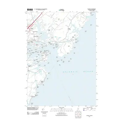 2011 Kittery2011 Print · USGSThe Maine and New Hampshire borderlands are depicted here in the early twenty-first century, centered on the historic maritime corridors of the Piscataqua River. Researchers can trace local lineage through the Old Burying Yard or explore coastal landings at Kittery Point and Frisbee Wharf.
 - 2011 Map of Isles of Shoals, 2011 Print
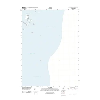 2011 Isles of Shoals2011 Print · USGSThe Isles of Shoals are captured here in the early twenty-first century, showing the isolated settlements and maritime landmarks of this Atlantic archipelago. Family historians can locate several burial sites including Caswell Cemetery and Beebe Cemetery near Gosport.
 - 2012 Map of Portsmouth, 2012 Print
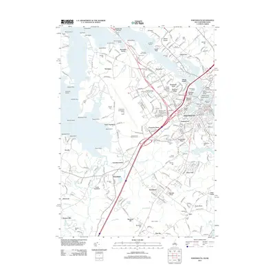 2012 Portsmouth2012 Print · USGSCoastal New Hampshire and the Maine border are mapped here in the early twenty-first century as the region balanced its maritime roots with modern expansion. Researchers can find old burial sites like South Street Cem alongside civic landmarks such as the Governor John Langdon House and Garden.
 - 2012 Map of Hampton, 2012 Print
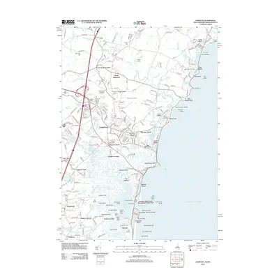 2012 Hampton2012 Print · USGSCoastal New Hampshire's transition into the twenty-first century is captured here along the Atlantic shore between Rye Beach and Seabrook Beach. Genealogists and local historians can trace family plots at Center Cem or Plains Cem and locate landmarks like Hampton Airfield and the Seabrook Station rail corridor.
 - 2012 Map of Isles of Shoals OE W, 2012 Print
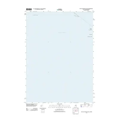 2012 Isles of Shoals OE W2012 Print · USGSThe outer Isles of Shoals are captured here in the early twenty-first century, showing the rocky maritime boundary between New Hampshire and Maine. Researchers can trace historic navigation routes to Lunging Island and identify hazards like White Island Ledge and Square Rock.
 - 2014 Map of Kittery, 2014 Print
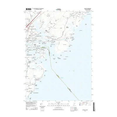 2014 Kittery2014 Print · USGSCoastal Maine and New Hampshire meet at the mouth of the Piscataqua during the early twenty-first century, showing a landscape defined by naval history and colonial family roots. Genealogists can locate numerous family-named landmarks and burial sites, including the Brackett Massacre Burial Ground, Kittery Point, and Odiorne Cem.
 - 2014 Map of Isles of Shoals, 2014 Print
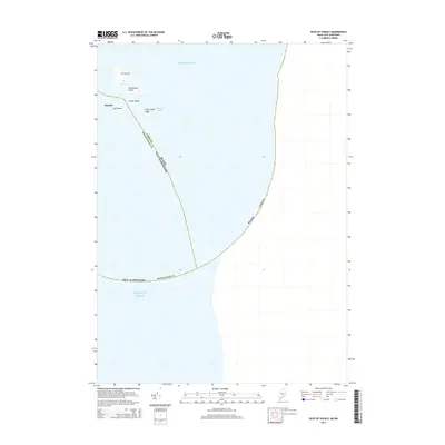 2014 Isles of Shoals2014 Print · USGSThe offshore islands of Maine and New Hampshire are mapped here in the early twenty-first century, showing the remote maritime boundary of the Atlantic. Genealogists and historians can trace the geography of the Gosport settlement and explore Smuttynose Island and Star Island.
 - 2015 Map of Portsmouth, 2015 Print
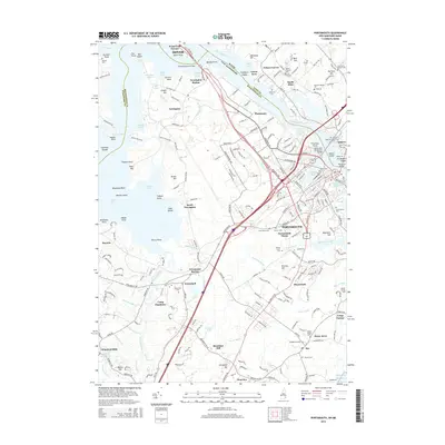 2015 Portsmouth2015 Print · USGSCoastal New Hampshire and Maine meet at the mouth of the Piscataqua during the mid-twenty-tens. Researchers can trace the modern layout of Portsmouth and Kittery, alongside historic family landmarks like the Varrell Family Cem and the former rail stop at Newington Station.
 - 2015 Map of Hampton, 2015 Print
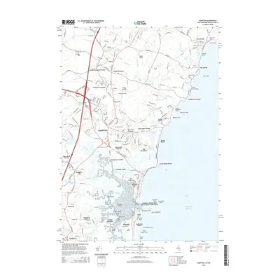 2015 Hampton2015 Print · USGSCoastal New Hampshire's tidal marshes and historic Atlantic communities are captured here in the mid-2010s. Researchers can trace family history through numerous burial grounds like Ring Swamp Cem and Elmwood Cem or explore coastal landmarks from Hampton Landing to Great Boars Head.
 - 2015 Map of Isles of Shoals OE W, 2015 Print
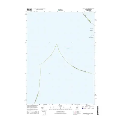 2015 Isles of Shoals OE W2015 Print · USGSThe outer reaches of the Isles of Shoals are captured here in the mid-2010s, showing the state line as it divides these granite outposts. Researchers can trace the maritime boundaries near White Island, Lunging Island, and Square Rock.
 - 2018 Map of Isles of Shoals, 2018 Print
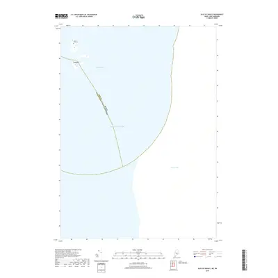 2018 Isles of Shoals2018 Print · USGSThe Isles of Shoals archipelago appears here as it was in the late twenty-teens, split by the Maine and New Hampshire border. Genealogists and historians can locate the Laighton Family Cem and the settlement of Gosport amidst the waters of Bigelow Bight.
 - 2018 Map of Isles of Shoals OE W, 2018 Print
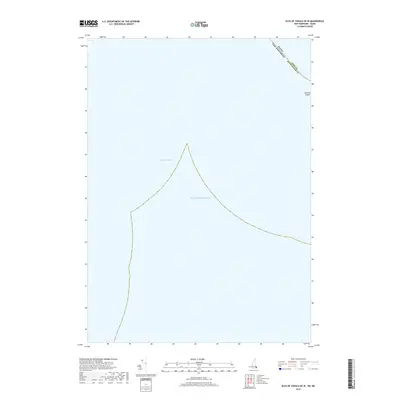 2018 Isles of Shoals OE W2018 Print · USGSCoastal New Hampshire and Maine waters are surveyed here in the late twenty-teens, highlighting the precise maritime boundary between the two states. Genealogists and maritime historians can locate Lunging Island and the seafloor depths of Bigelow Bight.
 - 2018 Map of Hampton, 2018 Print
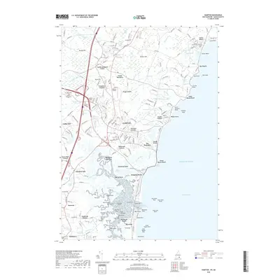 2018 Hampton2018 Print · USGSThe New Hampshire coastline at the end of the second decade of the 21st century reveals a landscape of historic shorefront settlements and ancient marshlands. Researchers can trace ancestral roots through numerous family sites like Philbrick Family Cem or explore the geography of Hampton Landing and Little Boars Head.
 - 2018 Map of Kittery, 2018 Print
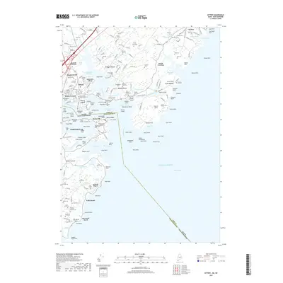 2018 Kittery2018 Print · USGSThe coastal Maine and New Hampshire borderlands are shown here in the 2010s, revealing a landscape defined by tidal creeks and maritime history. Genealogists can trace family footprints through the Brackett Massacre Burial Ground, Old Burying Yard, and numerous named properties like the William Manson Lot.
 - 2018 Map of Portsmouth, 2018 Print
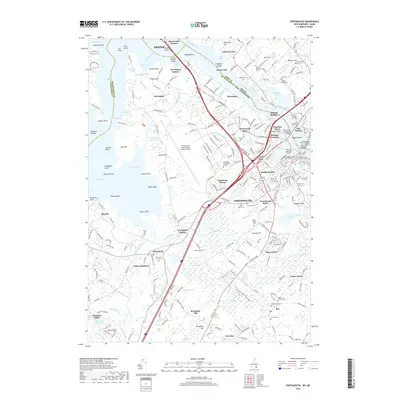 2018 Portsmouth2018 Print · USGSCoastal New Hampshire and the Maine border are seen here in recent years as a vibrant mix of maritime heritage and modern infrastructure. Researchers can locate family landmarks like the Lorenzo D Manson Lot or explore the historic Point of Grave Burial Ground and the industrial waterfront of Old Harbour.
End of results
Showing maps 1-15 of 15
Top cities near Rye
- Dover historical maps
- Portsmouth historical maps
- Newburyport historical maps
- Amesbury historical maps
- Hampton historical maps
- York historical maps
See more
Top neighborhoods of Rye
- Rye Beach Village District historical maps
- Gosport historical maps
- Fairhill Manor historical maps
- Adams Mobile Home Park historical maps
Frequently asked questions
- What are the different types of historical maps available for Rye?
- What is the oldest map of Rye?
- Where can I purchase historical maps of Rye for my home or office?
- Where can I download high-res historical maps of Rye?
- Are there historical topographic maps available for Rye?
- Is there historical aerial imagery available for Rye?
- Where are historical maps of Rye sourced from?