2018 Map of Isles of Shoals OE W
USGS Topo · Published 2018About this map
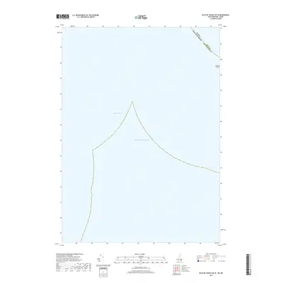
Lunging Island stands as the lone visible landmass in this coastal survey, positioned at the intersection of maritime and political boundaries. The map delineates the sea border where Maine and New Hampshire meet, specifically dividing York County from Rockingham County. This intersection of state lines over the water reflects the long-standing jurisdictional complexities of the Isles of Shoals archipelago. The expanse of the Atlantic Ocean dominates the sheet, reaching toward the seafloor features of Bigelow Bight. This 2018 edition provides an essential record of modern territorial limits and coastal hydrography for the waters just off the coast of Hampton, where the Atlantic's shifting tides meet the established state line.
Find a feature on this map
4 named features on this map. Tap any name to fly to it.
Don’t see what you’re looking for? This feature index may not catch every label — zoom into the map to look around manually.
Map Details
Editions of this 2018 Isles of Shoals OE W Map
This is the sole edition of this map. No revisions or reprints were ever made.
Other maps of this area

1888 · Newburyport
USGS Topo · 1:62,500

1890 · Newburyport
USGS Topo · 1:62,500

1893 · Dover
USGS Topo · 1:62,500

1893 · York
USGS Topo · 1:62,500

1894 · Newburyport
USGS Topo · 1:62,500

1916 · Dover
USGS Topo · 1:62,500

1918 · Dover
USGS Topo · 1:62,500

1920 · York
USGS Topo · 1:62,500

1932 · Newburyport
USGS Topo · 1:48,000

1934 · Exeter
USGS Topo · 1:62,500