
1934 Map of Exeter
USGS Topo · Published 1934About this map
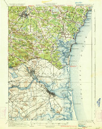
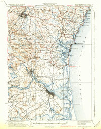
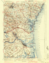
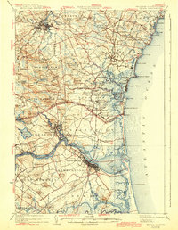
Phillips Exeter Academy anchors the town of Exeter in this coastal New Hampshire and Massachusetts survey, which captures the region before mid-century development. The landscape is defined by the heavy presence of the Boston and Maine Railroad, with various branches like the Salisbury Branch and the Newburyport Branch connecting industrial centers to seaside settlements. The geography transitions from the upland ridges and hills of Kensington and Stratham to the complex tidal systems of the Hampton River and Merrimack River. Along the Atlantic, prominent landmarks like Great Boars Head and the U.S. Life Saving Station on Plum Island highlight a maritime economy centered on coastal transit. This 1934 edition incorporates early aerial photography to map the intricate salt marshes and islands, such as Carr Island and Seal Island, that lie between the river mouths and the open sea.
Find a feature on this map
134 named features on this map. Tap any name to fly to it.
Don’t see what you’re looking for? This feature index may not catch every label — zoom into the map to look around manually.
Map Details
Editions of this 1934 Exeter Map
5 editions found
Other maps of this area

1886 · Gloucester
USGS Topo · 1:62,500

1886 · Lawrence
USGS Topo · 1:62,500

1888 · Newburyport
USGS Topo · 1:62,500

1888 · Haverhill
USGS Topo · 1:62,500

1888 · Gloucester
USGS Topo · 1:62,500

1888 · Lawrence
USGS Topo · 1:62,500

1888 · Salem
USGS Topo · 1:62,500

1890 · Haverhill
USGS Topo · 1:62,500

1890 · Newburyport
USGS Topo · 1:62,500

1893 · Dover
USGS Topo · 1:62,500