2020s Maps of Barrington, New Hampshire
Explore 10 historic maps of Barrington from the 2020s. These maps offer a rare glimpse into what life looked like during the 2020s — showing old roads, neighborhoods, homes, and landmarks that have changed or disappeared over time.
Whether you're researching your family's past, planning a metal detecting trip, or studying how Barrington's landscape evolved across the 2020s, these high-resolution maps are a powerful tool for exploring the history of this region.
- Focus on a specific era: All maps on this page are from the 2020s, giving you a focused view of this time period.
- See what’s changed: Compare century-old streets, trails, and buildings to today's modern landscape using overlays and satellite layers.
- Research with precision: Use these maps for genealogy, historical research, land use analysis, or educational projects.
- View, download, or print: Maps are fully viewable online in high resolution, and can be downloaded or printed for your own records.
Start exploring Barrington's history through authentic maps from the 2020s. This is your window into the past.
Barrington, NH maps
(10)- 2021 Map of Northwood, 2021 Print
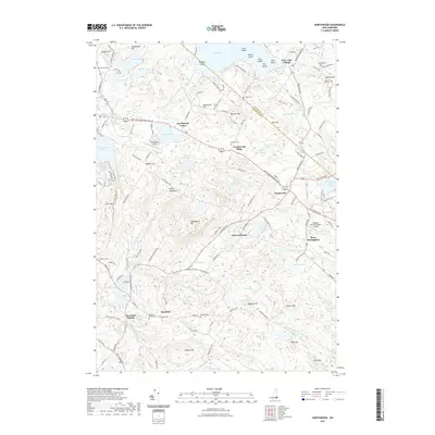 2021 Northwood2021 Print · USGSCovers Barrington, including Nottingham, Deerfield, and other nearby areas
 - 2021 Map of Baxter Lake, 2021 Print
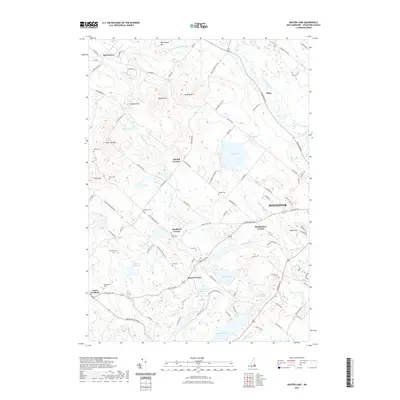 2021 Baxter Lake2021 Print · USGSCovers Barrington, including Rochester, Farmington, and other nearby areas
 - 2021 Map of Barrington, 2021 Print
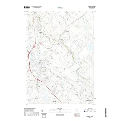
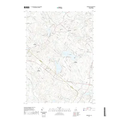 2021 Barrington2021 Print · USGSCovers Barrington, including Nottingham, Lee, and other nearby areas
 - 2021 Map of Dover West, 2021 Print
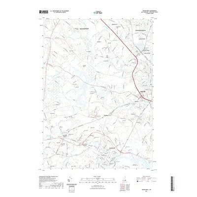 2021 Dover West2021 Print · USGSCovers Barrington, including Dover, Rochester, and other nearby areas
 - 2021 Map of Rochester, 2021 Print
 2021 Rochester2021 Print · USGSCovers Barrington, including Dover, Rochester, and other nearby areas
 - 2024 Map of Baxter Lake, 2024 Print
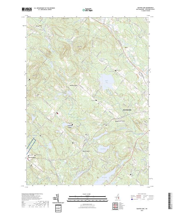 2024 Baxter Lake2024 Print · USGSStrafford County settlements and high peaks are captured here in the early twenty-first century, showing the area's transition into a recreational landscape. Researchers can trace family history at the Garland Cem and Friends Cem or follow the Farmington Rec Rail Trl.
 - 2024 Map of Barrington, 2024 Print
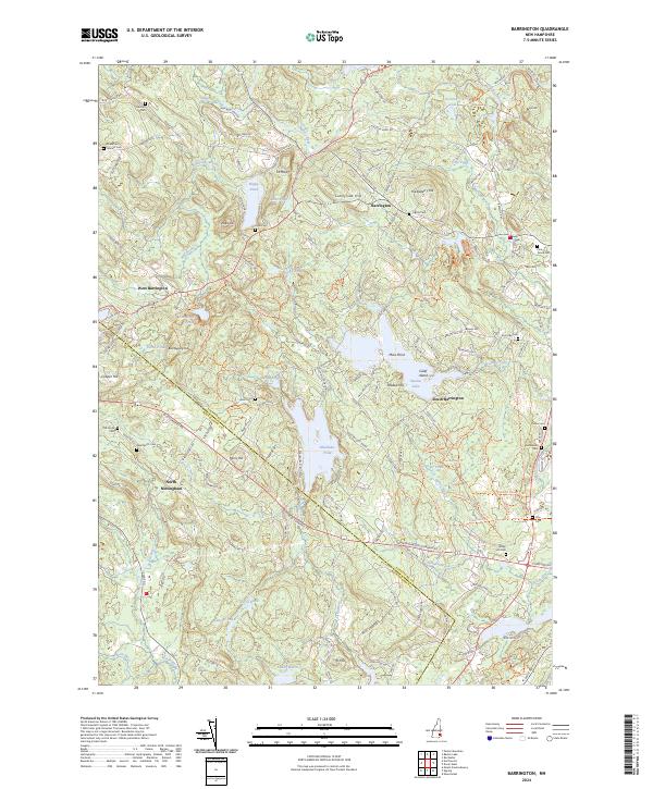 2024 Barrington2024 Print · USGSThe Barrington area of southeastern New Hampshire is defined by its numerous family burial grounds and expansive lakefronts. Genealogists and historians can trace lineage across sites like Shackford Jenness Cem or the Old North Cem while mapping the shorelines of Swains Lake and Mendums Pond.
 - 2024 Map of Dover West, 2024 Print
 2024 Dover West2024 Print · USGSCoastal New Hampshire's academic and historic heart is centered here in the early twenty-first century. Researchers can trace decades of local history through sites like the Oyster River Burial Ground, Old Parish Cem, and the sprawling University of New Hampshire campus.
 - 2024 Map of Rochester, 2024 Print
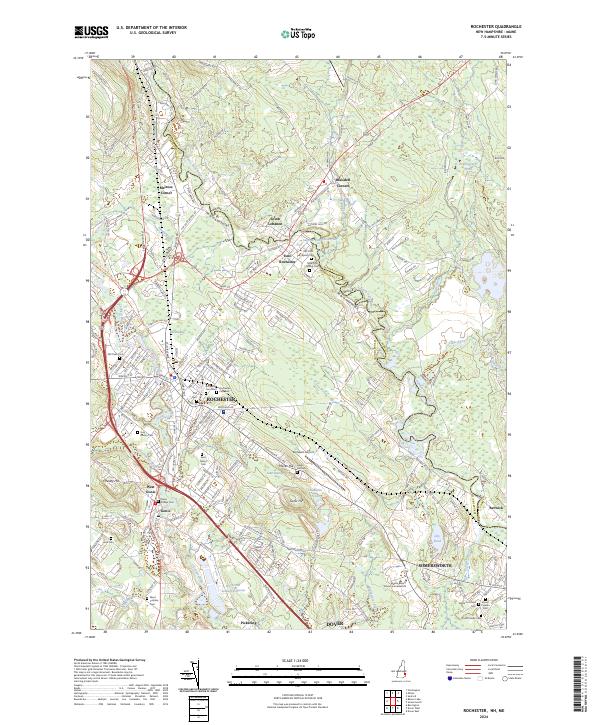 2024 Rochester2024 Print · USGSRochester and the surrounding Strafford County landscape are captured here in the contemporary era as a complex network of riverfront settlements and interstate transit. Genealogists can trace family roots through over a dozen burial sites including Forest Glade Cem, Saint Marys Cem, and Hurd Cem.
 - 2024 Map of Northwood, 2024 Print
 2024 Northwood2024 Print · USGSThe hills of Rockingham and Strafford counties are captured in modern detail, showing a landscape of upland ridges and clustered villages. Genealogists can locate family-named landmarks like Hill Farm Family Cem and the historic Deerfield Parade.
End of results
Showing maps 1-10 of 10
Top cities near Barrington
- Dover historical maps
- Rochester historical maps
- Sanford historical maps
- Portsmouth historical maps
- Somersworth historical maps
- Durham historical maps
See more
Top neighborhoods of Barrington
Frequently asked questions
- What are the different types of historical maps available for Barrington?
- What is the oldest map of Barrington?
- Where can I purchase historical maps of Barrington for my home or office?
- Where can I download high-res historical maps of Barrington?
- Are there historical topographic maps available for Barrington?
- Is there historical aerial imagery available for Barrington?
- Where are historical maps of Barrington sourced from?