2020s Maps of Estell Manor, New Jersey
Explore 4 historic maps of Estell Manor from the 2020s. These maps offer a rare glimpse into what life looked like during the 2020s — showing old roads, neighborhoods, homes, and landmarks that have changed or disappeared over time.
Whether you're researching your family's past, planning a metal detecting trip, or studying how Estell Manor's landscape evolved across the 2020s, these high-resolution maps are a powerful tool for exploring the history of this region.
- Focus on a specific era: All maps on this page are from the 2020s, giving you a focused view of this time period.
- See what’s changed: Compare century-old streets, trails, and buildings to today's modern landscape using overlays and satellite layers.
- Research with precision: Use these maps for genealogy, historical research, land use analysis, or educational projects.
- View, download, or print: Maps are fully viewable online in high resolution, and can be downloaded or printed for your own records.
Start exploring Estell Manor's history through authentic maps from the 2020s. This is your window into the past.
Estell Manor, NJ maps
(4)- 2023 Map of Mays Landing, 2023 Print
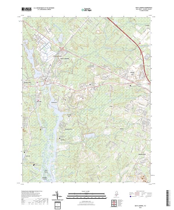 2023 Mays Landing2023 Print · USGSThe Great Egg Harbor River region of Atlantic County is captured here in detail, showing the integration of historic riverside landings and modern infrastructure. Genealogists can locate several family burial sites, including the Smith-Ireland Burying Ground, Catawba Church and Burying Ground, and Westcott Free Burying Ground.
 - 2023 Map of Dorothy, 2023 Print
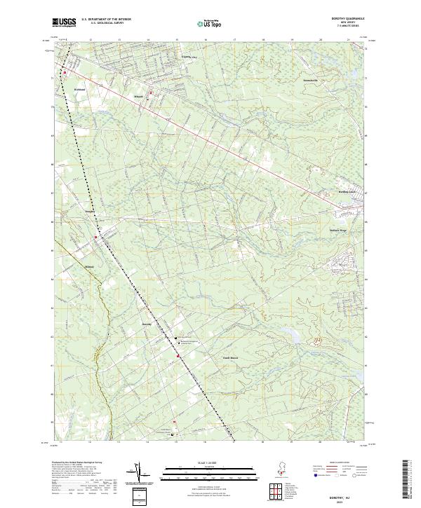 2023 Dorothy2023 Print · USGSAtlantic County settlements and the winding Tuckahoe River appear in detail in this recent survey. Researchers can trace family history at the Saint Bernard Cem or explore the rural layout of Dorothy, Mizpah, and Gigantic City.
 - 2023 Map of Marmora, 2023 Print
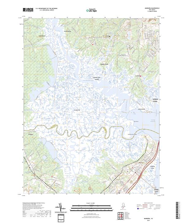 2023 Marmora2023 Print · USGSThe coastal wetlands of the Cape May and Atlantic county border are shown in this recent survey. Researchers can trace family history through sites like Seaside Cem or locate old water-access points at English Creek Landing and Mosquito Landing.
 - 2023 Map of Tuckahoe, 2023 Print
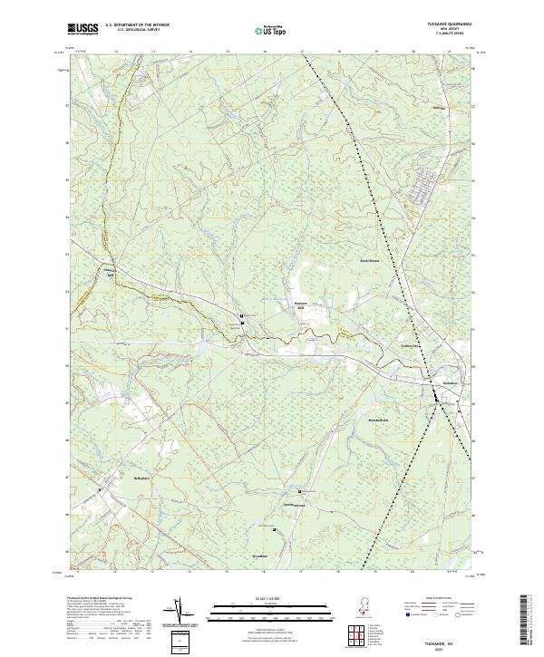 2023 Tuckahoe2023 Print · USGSThe Tuckahoe River corridor and the edges of the Pine Barrens appear here in great detail, showing the rural character of Cape May and Atlantic counties. Researchers can trace local history through several burial sites like River Cem and Steelmantown Cem or locate the historic milling sites at Warners Mill and Hunters Mill.
End of results
Showing maps 1-4 of 4
Top cities near Estell Manor
- Vineland historical maps
- Egg Harbor Township historical maps
- Galloway Township historical maps
- Monroe Township historical maps
- Millville historical maps
- Hammonton historical maps
See more
Top neighborhoods of Estell Manor
- Oakville historical maps
- Warners Mill historical maps
- Estellville historical maps
- Gibson Landing historical maps
- Hunters Mill historical maps
Frequently asked questions
- What are the different types of historical maps available for Estell Manor?
- What is the oldest map of Estell Manor?
- Where can I purchase historical maps of Estell Manor for my home or office?
- Where can I download high-res historical maps of Estell Manor?
- Are there historical topographic maps available for Estell Manor?
- Is there historical aerial imagery available for Estell Manor?
- Where are historical maps of Estell Manor sourced from?