2000s (21st Century) Maps of Old Tappan, New Jersey
Explore 20 historic maps of Old Tappan from the 2000s (21st Century). These maps offer a rare glimpse into what life looked like during the 2000s — showing old roads, neighborhoods, homes, and landmarks that have changed or disappeared over time.
Whether you're researching your family's past, planning a metal detecting trip, or studying how Old Tappan's landscape evolved across the 2000s, these high-resolution maps are a powerful tool for exploring the history of this region.
- Focus on a specific era: All maps on this page are from the 2000s, giving you a focused view of this time period.
- See what’s changed: Compare century-old streets, trails, and buildings to today's modern landscape using overlays and satellite layers.
- Research with precision: Use these maps for genealogy, historical research, land use analysis, or educational projects.
- View, download, or print: Maps are fully viewable online in high resolution, and can be downloaded or printed for your own records.
Start exploring Old Tappan's history through authentic maps from the 2000s. This is your window into the past.
Old Tappan, NJ maps
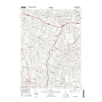
(20)- 2011 Map of Hackensack, 2011 Print
 2011 Hackensack2011 Print · USGSCovers Old Tappan, including Clifton, Passaic, and other nearby areas
 - 2011 Map of Nyack, 2011 Print
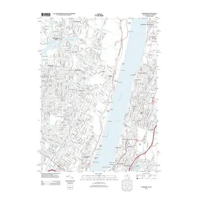
 2011 Nyack2011 Print · USGSCovers Old Tappan, including Greenburgh, Clarkstown, and other nearby areas
 - 2011 Map of Yonkers, 2011 Print
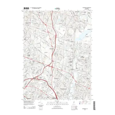
 2011 Yonkers2011 Print · USGSCovers Old Tappan, including New York, Yonkers, and other nearby areas
 - 2011 Map of Park Ridge, 2011 Print
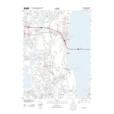
 2011 Park Ridge2011 Print · USGSCovers Old Tappan, including Ramapo, Clarkstown, and other nearby areas
 - 2013 Map of Nyack, 2013 Print
 2013 Nyack2013 Print · USGSCovers Old Tappan, including Greenburgh, Clarkstown, and other nearby areas
 - 2013 Map of Yonkers, 2013 Print
 2013 Yonkers2013 Print · USGSCovers Old Tappan, including New York, Yonkers, and other nearby areas
 - 2014 Map of Park Ridge, 2014 Print
 2014 Park Ridge2014 Print · USGSCovers Old Tappan, including Ramapo, Clarkstown, and other nearby areas
 - 2014 Map of Hackensack, 2014 Print
 2014 Hackensack2014 Print · USGSCovers Old Tappan, including Clifton, Passaic, and other nearby areas
 - 2016 Map of Yonkers, 2016 Print
 2016 Yonkers2016 Print · USGSCovers Old Tappan, including New York, Yonkers, and other nearby areas
 - 2016 Map of Nyack, 2016 Print
 2016 Nyack2016 Print · USGSCovers Old Tappan, including Greenburgh, Clarkstown, and other nearby areas
 - 2016 Map of Park Ridge, 2016 Print
 2016 Park Ridge2016 Print · USGSCovers Old Tappan, including Ramapo, Clarkstown, and other nearby areas
 - 2016 Map of Hackensack, 2016 Print
 2016 Hackensack2016 Print · USGSCovers Old Tappan, including Clifton, Passaic, and other nearby areas
 - 2019 Map of Yonkers, 2019 Print
 2019 Yonkers2019 Print · USGSCovers Old Tappan, including New York, Yonkers, and other nearby areas
 - 2019 Map of Nyack, 2019 Print
 2019 Nyack2019 Print · USGSCovers Old Tappan, including Greenburgh, Clarkstown, and other nearby areas
 - 2019 Map of Park Ridge, 2019 Print
 2019 Park Ridge2019 Print · USGSCovers Old Tappan, including Ramapo, Clarkstown, and other nearby areas
 - 2019 Map of Hackensack, 2019 Print
 2019 Hackensack2019 Print · USGSCovers Old Tappan, including Clifton, Passaic, and other nearby areas
 - 2023 Map of Park Ridge, 2023 Print
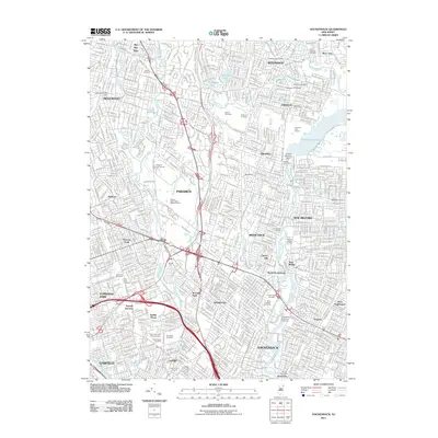
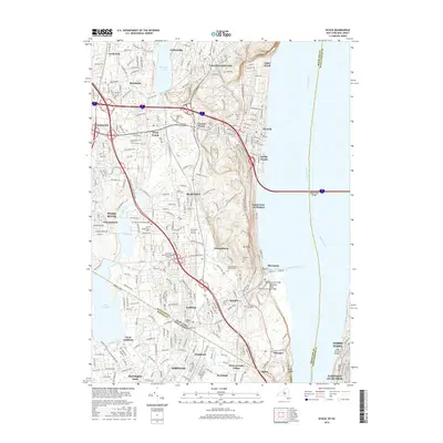
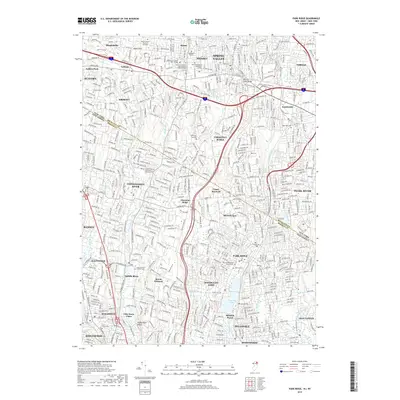
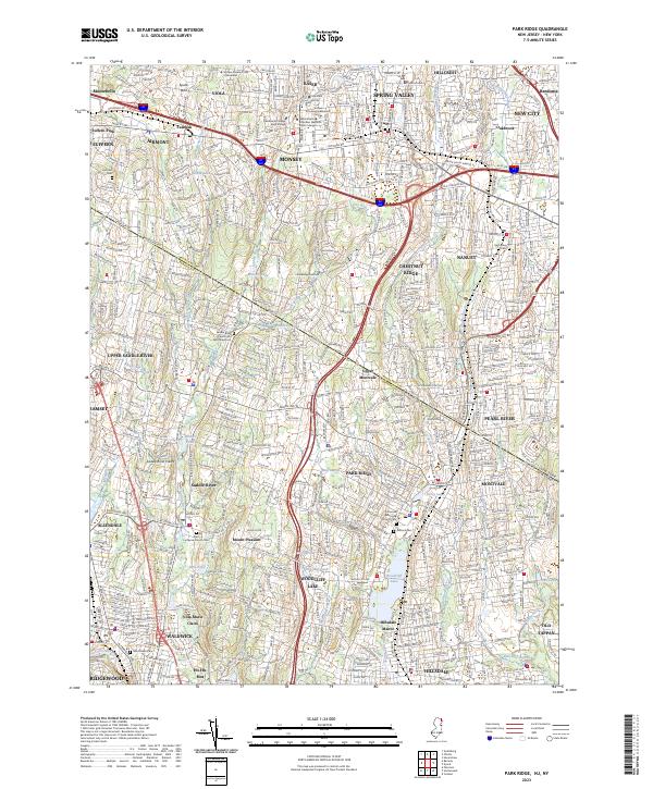 2023 Park Ridge2023 Print · USGSThe borderlands of Bergen and Rockland counties are captured here in the early twenty-first century, showing a landscape of established boroughs and winding waterways. Researchers can locate historic burial sites like the Low Dutch Reformed Cem and trace the shores of Woodcliff Lake and Monsey Lake.
 - 2023 Map of Nyack, 2023 Print
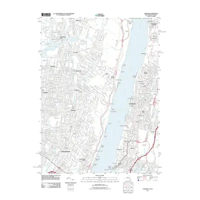
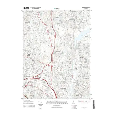
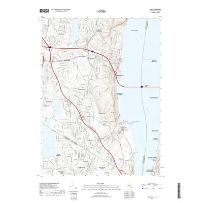
 2023 Nyack2023 Print · USGSThe Lower Hudson Valley and the New York-New Jersey borderlands come to life in this contemporary survey. Researchers can trace historic cemeteries like Oak Hill Cem and Mount Moor Cem or locate campuses such as Dominican College and Saint Thomas Aquinas College.
 - 2023 Map of Yonkers, 2023 Print
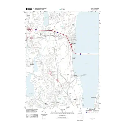
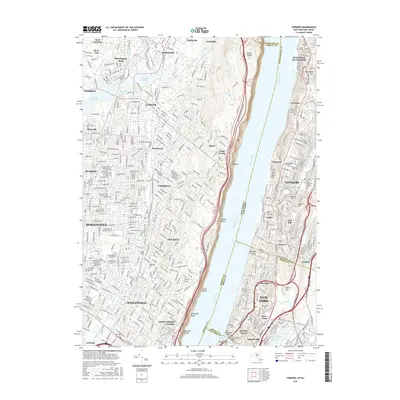
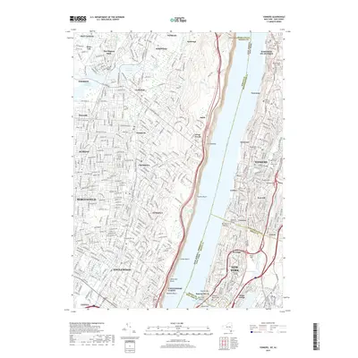
 2023 Yonkers2023 Print · USGSThe Hudson River valley at the edge of New York City and New Jersey remains a complex corridor of steep terrain and deep-rooted settlements. Researchers can trace the modern layout of Yonkers and Englewood, identifying landmarks like Vault Hill and the New Croton Aqueduct.
 - 2023 Map of Hackensack, 2023 Print
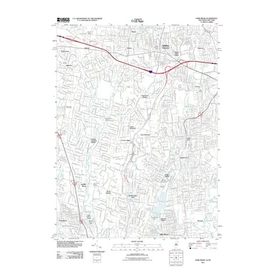
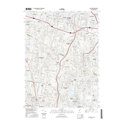
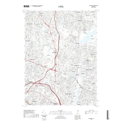
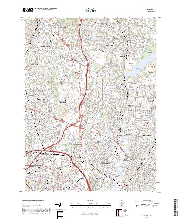 2023 Hackensack2023 Print · USGSBergen County's suburban heartland is shown in detail here during the early twenty-first century. Family historians can trace numerous landmarks including Lodi Burial Grounds, Cedar Park Cem, and the Bergen County Justice Center.
End of results
Showing maps 1-20 of 20
Top cities near Old Tappan
- New York historical maps
- North Hempstead historical maps
- Yonkers historical maps
- Ramapo historical maps
- Paterson historical maps
- Greenburgh historical maps
See more
Frequently asked questions
- What are the different types of historical maps available for Old Tappan?
- What is the oldest map of Old Tappan?
- Where can I purchase historical maps of Old Tappan for my home or office?
- Where can I download high-res historical maps of Old Tappan?
- Are there historical topographic maps available for Old Tappan?
- Is there historical aerial imagery available for Old Tappan?
- Where are historical maps of Old Tappan sourced from?