2000s (21st Century) Maps of Cape May County, New Jersey
Explore 80 historic maps of Cape May County from the 2000s (21st Century). These maps offer a rare glimpse into what life looked like during the 2000s — showing old roads, neighborhoods, homes, and landmarks that have changed or disappeared over time.
Whether you're researching your family's past, planning a metal detecting trip, or studying how Cape May County's landscape evolved across the 2000s, these high-resolution maps are a powerful tool for exploring the history of this region.
- Focus on a specific era: All maps on this page are from the 2000s, giving you a focused view of this time period.
- See what’s changed: Compare century-old streets, trails, and buildings to today's modern landscape using overlays and satellite layers.
- Research with precision: Use these maps for genealogy, historical research, land use analysis, or educational projects.
- View, download, or print: Maps are fully viewable online in high resolution, and can be downloaded or printed for your own records.
Start exploring Cape May County's history through authentic maps from the 2000s. This is your window into the past.
Cape May County, NJ maps
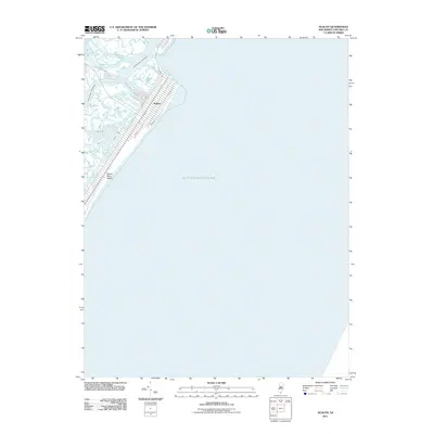
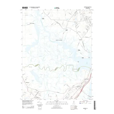
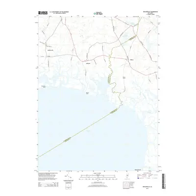
(80)- 2011 Map of Woodbine, 2011 Print
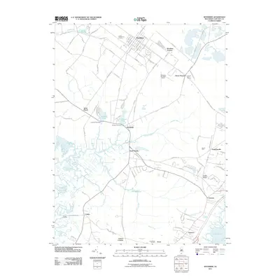 2011 Woodbine2011 Print · USGSCovers Cape May County, including Middle Township, Upper Township, and other nearby areas
 - 2011 Map of Ocean City, 2011 Print
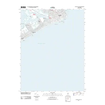
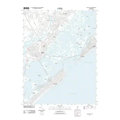 2011 Ocean City2011 Print · USGSCovers Cape May County, including Egg Harbor Township, Atlantic City, and other nearby areas
 - 2011 Map of Marmora, 2011 Print
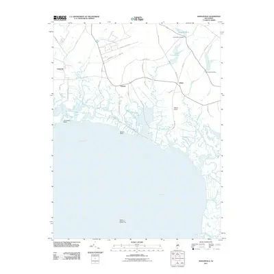
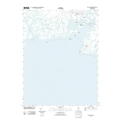
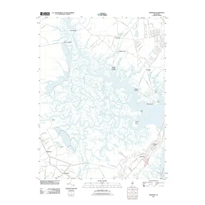 2011 Marmora2011 Print · USGSCovers Cape May County, including Egg Harbor Township, Ocean City, and other nearby areas
 - 2011 Map of Tuckahoe, 2011 Print
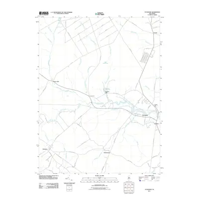 2011 Tuckahoe2011 Print · USGSCovers Cape May County, including Upper Township, Maurice River Township, and other nearby areas
 - 2011 Map of Port Elizabeth, 2011 Print
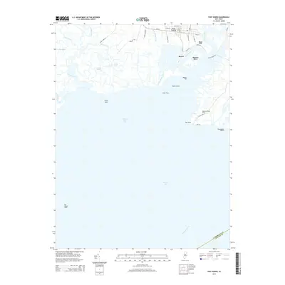
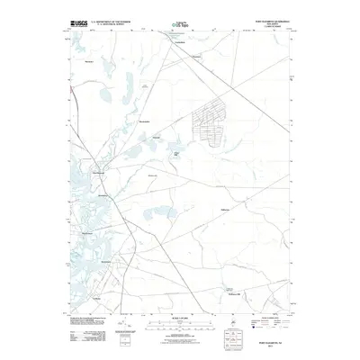 2011 Port Elizabeth2011 Print · USGSCovers Cape May County, including Millville, Upper Township, and other nearby areas
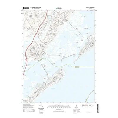
 - 2011 Map of Sea Isle City OE E, 2011 Print
 2011 Sea Isle City OE E2011 Print · USGSCovers Cape May County, including Ocean City, United States, and other nearby areas
 - 2011 Map of Heislerville, 2011 Print
 2011 Heislerville2011 Print · USGSCovers Cape May County, including Middle Township, Maurice River Township, and other nearby areas
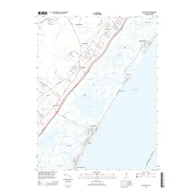
 - 2011 Map of Stone Harbor, 2011 Print
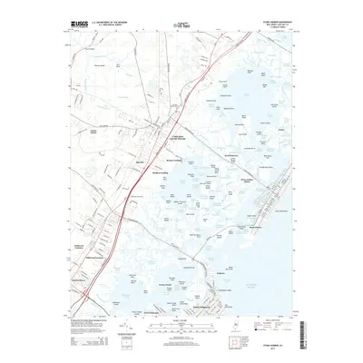
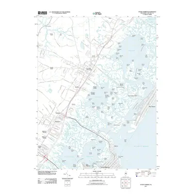 2011 Stone Harbor2011 Print · USGSCovers Cape May County, including Lower Township, Middle Township, and other nearby areas
 - 2011 Map of Atlantic City, 2011 Print
 2011 Atlantic City2011 Print · USGSCovers Cape May County, including Egg Harbor Township, Atlantic City, and other nearby areas
 - 2011 Map of Sea Isle City, 2011 Print
 2011 Sea Isle City2011 Print · USGSCovers Cape May County, including Middle Township, Ocean City, and other nearby areas
 - 2011 Map of Avalon, 2011 Print
 2011 Avalon2011 Print · USGSCovers Cape May County, including Middle Township, Avalon, and other nearby areas
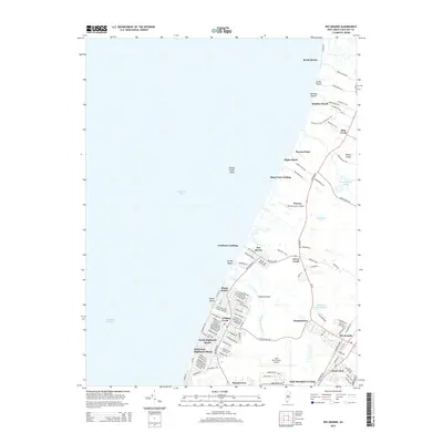
 - 2011 Map of Rio Grande, 2011 Print
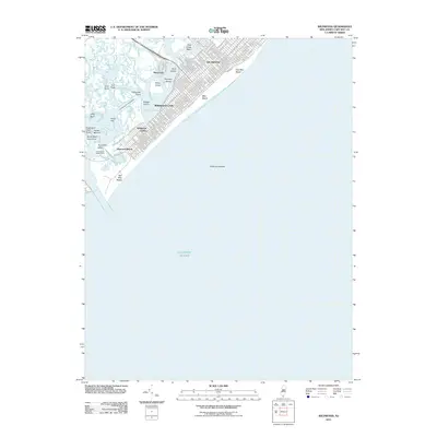
 2011 Rio Grande2011 Print · USGSCovers Cape May County, including Lower Township, Middle Township, and other nearby areas
 - 2011 Map of Port Norris, 2011 Print
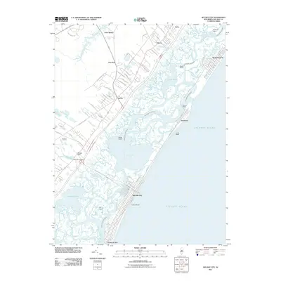
 2011 Port Norris2011 Print · USGSCovers Cape May County, including Maurice River Township, Commercial Township, and other nearby areas
 - 2011 Map of Cape May, 2011 Print
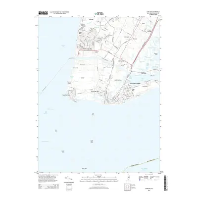
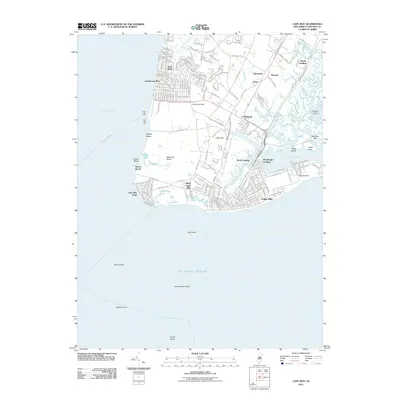 2011 Cape May2011 Print · USGSCovers Cape May County, including Lower Township, Cape May, and other nearby areas
 - 2011 Map of Wildwood, 2011 Print
 2011 Wildwood2011 Print · USGSCovers Cape May County, including Lower Township, Middle Township, and other nearby areas
 - 2011 Map of Cape Henlopen, 2011 Print
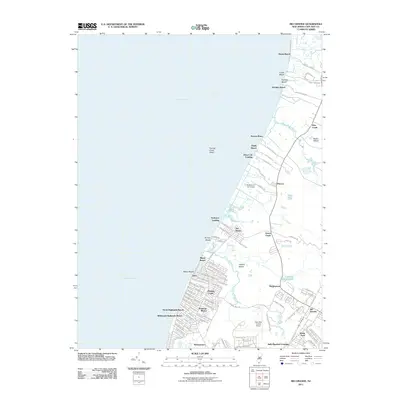
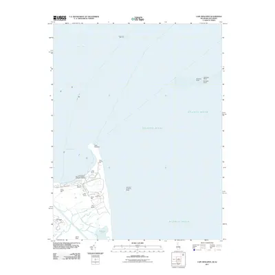 2011 Cape Henlopen2011 Print · USGSCovers Cape May County, including Lewes, Sussex County, and other nearby areas
 - 2014 Map of Cape May, 2014 Print
 2014 Cape May2014 Print · USGSCovers Cape May County, including Lower Township, Cape May, and other nearby areas
 - 2014 Map of Port Norris, 2014 Print
 2014 Port Norris2014 Print · USGSCovers Cape May County, including Maurice River Township, Commercial Township, and other nearby areas
 - 2014 Map of Wildwood, 2014 Print
 2014 Wildwood2014 Print · USGSCovers Cape May County, including Lower Township, Middle Township, and other nearby areas
 - 2014 Map of Stone Harbor, 2014 Print
 2014 Stone Harbor2014 Print · USGSCovers Cape May County, including Lower Township, Middle Township, and other nearby areas
 - 2014 Map of Ocean City, 2014 Print
 2014 Ocean City2014 Print · USGSCovers Cape May County, including Egg Harbor Township, Atlantic City, and other nearby areas
 - 2014 Map of Marmora, 2014 Print
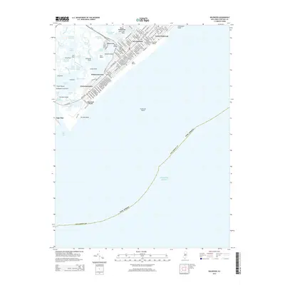
 2014 Marmora2014 Print · USGSCovers Cape May County, including Egg Harbor Township, Ocean City, and other nearby areas
 - 2014 Map of Rio Grande, 2014 Print
 2014 Rio Grande2014 Print · USGSCovers Cape May County, including Lower Township, Middle Township, and other nearby areas
 - 2014 Map of Sea Isle City, 2014 Print
 2014 Sea Isle City2014 Print · USGSCovers Cape May County, including Middle Township, Ocean City, and other nearby areas
 - 2014 Map of Heislerville, 2014 Print
 2014 Heislerville2014 Print · USGSCovers Cape May County, including Middle Township, Maurice River Township, and other nearby areas
Showing maps 1-25 of 80
Top cities of Cape May County
- Lower Township historical maps
- Middle Township historical maps
- Ocean City historical maps
- Upper Township historical maps
- Wildwood historical maps
- North Wildwood historical maps
See more
Frequently asked questions
- What are the different types of historical maps available for Cape May County?
- What is the oldest map of Cape May County?
- Where can I purchase historical maps of Cape May County for my home or office?
- Where can I download high-res historical maps of Cape May County?
- Are there historical topographic maps available for Cape May County?
- Is there historical aerial imagery available for Cape May County?
- Where are historical maps of Cape May County sourced from?