2000s (21st Century) Maps of Tewksbury Township, New Jersey
Explore 10 historic maps of Tewksbury Township from the 2000s (21st Century). These maps offer a rare glimpse into what life looked like during the 2000s — showing old roads, neighborhoods, homes, and landmarks that have changed or disappeared over time.
Whether you're researching your family's past, planning a metal detecting trip, or studying how Tewksbury Township's landscape evolved across the 2000s, these high-resolution maps are a powerful tool for exploring the history of this region.
- Focus on a specific era: All maps on this page are from the 2000s, giving you a focused view of this time period.
- See what’s changed: Compare century-old streets, trails, and buildings to today's modern landscape using overlays and satellite layers.
- Research with precision: Use these maps for genealogy, historical research, land use analysis, or educational projects.
- View, download, or print: Maps are fully viewable online in high resolution, and can be downloaded or printed for your own records.
Start exploring Tewksbury Township's history through authentic maps from the 2000s. This is your window into the past.
Tewksbury Township, NJ maps
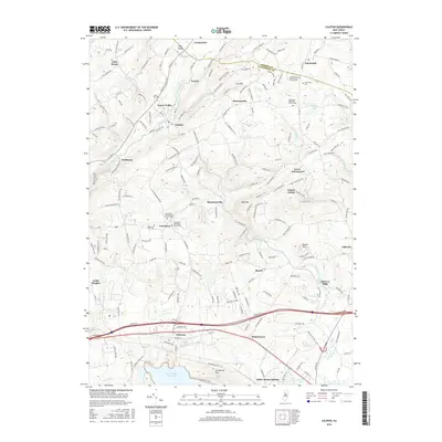
(10)- 2011 Map of Califon, 2011 Print
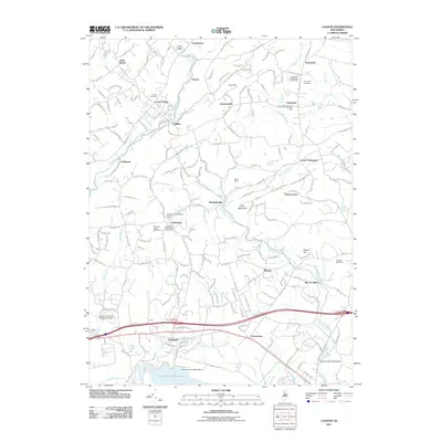 2011 Califon2011 Print · USGSCovers Tewksbury Township, including Readington Township, High Bridge, and other nearby areas
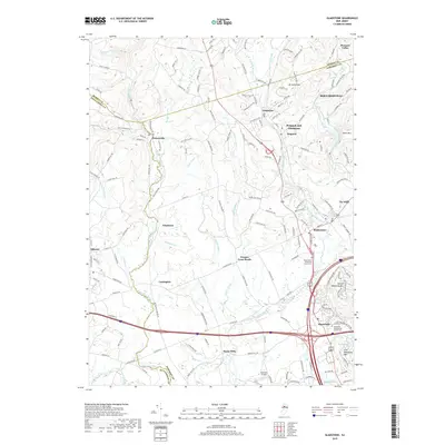
 - 2011 Map of Gladstone, 2011 Print
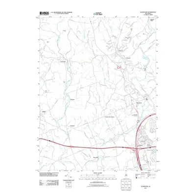 2011 Gladstone2011 Print · USGSCovers Tewksbury Township, including Bridgewater Township, Readington Township, and other nearby areas
 - 2014 Map of Califon, 2014 Print
 2014 Califon2014 Print · USGSCovers Tewksbury Township, including Readington Township, High Bridge, and other nearby areas
 - 2014 Map of Gladstone, 2014 Print
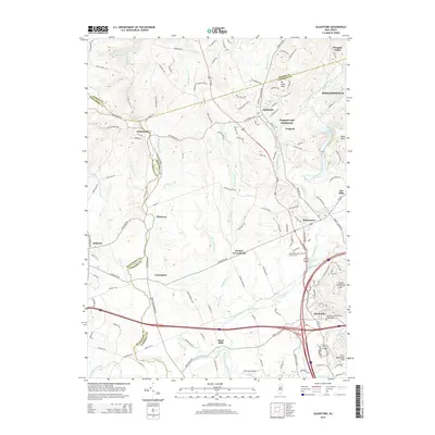 2014 Gladstone2014 Print · USGSCovers Tewksbury Township, including Bridgewater Township, Readington Township, and other nearby areas
 - 2016 Map of Califon, 2016 Print
 2016 Califon2016 Print · USGSCovers Tewksbury Township, including Readington Township, High Bridge, and other nearby areas
 - 2016 Map of Gladstone, 2016 Print
 2016 Gladstone2016 Print · USGSCovers Tewksbury Township, including Bridgewater Township, Readington Township, and other nearby areas
 - 2019 Map of Gladstone, 2019 Print
 2019 Gladstone2019 Print · USGSCovers Tewksbury Township, including Bridgewater Township, Readington Township, and other nearby areas
 - 2019 Map of Califon, 2019 Print
 2019 Califon2019 Print · USGSCovers Tewksbury Township, including Readington Township, High Bridge, and other nearby areas
 - 2023 Map of Califon, 2023 Print
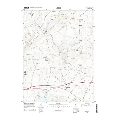
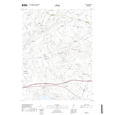
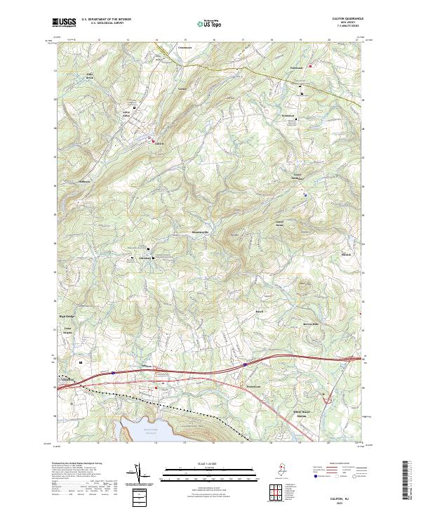 2023 Califon2023 Print · USGSHunterdon and Morris Counties are shown here during the early twenty-first century as modern growth integrates with historic rural centers. Genealogists and historians can trace local roots through the Fairmount Cemetery, McCrea Mills, and the historic Cokesbury churchyards.
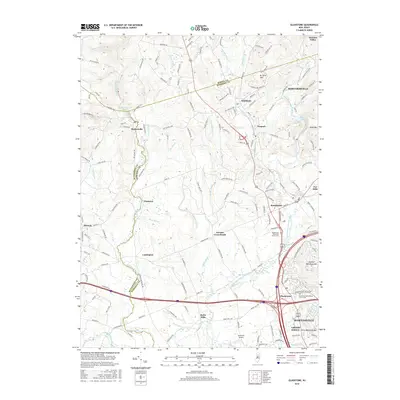
 - 2023 Map of Gladstone, 2023 Print
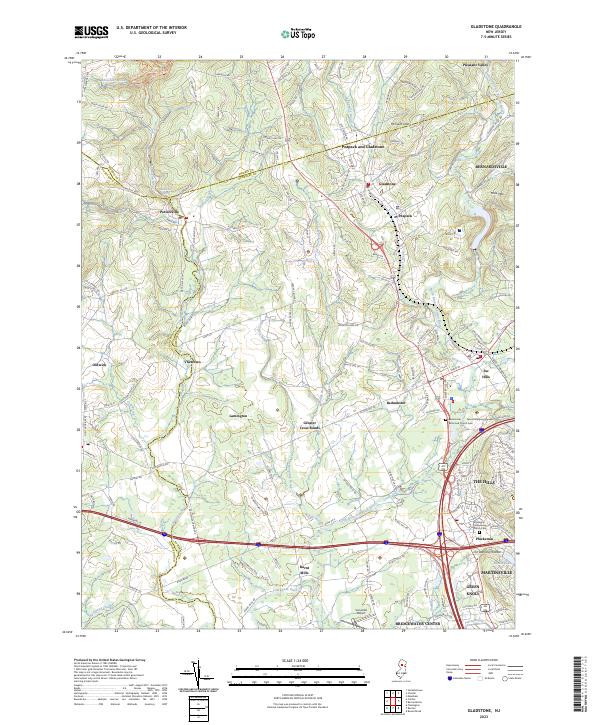 2023 Gladstone2023 Print · USGSThe North Jersey hills and the Raritan valley are shown in contemporary detail in this recent survey. Local researchers can trace old routes and landmarks through Pottersville, Oldwick, and the historic Pluckemin Presbyterian Church Cem.
End of results
Showing maps 1-10 of 10
Top cities near Tewksbury Township
- Franklin Township historical maps
- Bridgewater Township historical maps
- Hillsborough Township historical maps
- Mount Olive historical maps
- Rockaway Township historical maps
- Raritan Township historical maps
See more
Top neighborhoods of Tewksbury Township
- Farmersville historical maps
- Laurel Farms historical maps
- Lower Fairmount historical maps
- Mountainville historical maps
- Bissell historical maps
- Pottersville historical maps
See more
Frequently asked questions
- What are the different types of historical maps available for Tewksbury Township?
- What is the oldest map of Tewksbury Township?
- Where can I purchase historical maps of Tewksbury Township for my home or office?
- Where can I download high-res historical maps of Tewksbury Township?
- Are there historical topographic maps available for Tewksbury Township?
- Is there historical aerial imagery available for Tewksbury Township?
- Where are historical maps of Tewksbury Township sourced from?