Old Maps of Sea Bright, New Jersey for Academic Research
Study the evolution of Sea Bright with 21 high-resolution historic maps. Whether you're teaching, researching, or modeling changes in land use, these maps provide essential visual documentation of urban, environmental, and geographic change.
- Analyze long-term change: Track patterns in development, transportation, and natural features.
- Ideal for environmental or urban studies: Support academic projects with primary historical map data.
- Use in the classroom or lab: Educators and researchers rely on these maps to bring historical context to life.
These maps are a powerful tool for teaching, research, and visualizing how Sea Bright has changed over the decades.
Sea Bright, NJ maps
(21)- 1947 Map of Sandy Hook, 1950 Print
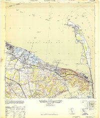 1947 Sandy Hook1950 Print · USGSThe Monmouth County coastline at the end of the 1940s shows a landscape of military defense and busy maritime piers. Genealogists can trace family landmarks like the N J Strauss Farm or locate old community centers like St Clements Ch and Harmony Cem.
 - 1949 Map of New York, 1951 Print
 1949 New York1951 Print · USGSLong Island and its surrounding waters are documented here in the late 1940s, just as the postwar suburban boom began to transform the region. Genealogists and historians can trace the early layouts of Idlewild Airport, Mitchell Field, and the established routes of the Long Island RR.
 - 1954 Map of New York
 1954 New York1954 Print · USGSLong Island and the New York metropolitan area are shown during the height of post-war suburbanization. Genealogists and historians can trace the growth of Levittown, the infrastructure of the Long Island Rail Road, and landmarks like Mitchel Afb.2 unique versions available
 - 1954 Map of Long Branch, 1956 Print
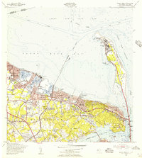
 1954 Long Branch1956 Print · USGSThe northern Jersey shore and its military installations come into focus in the mid-fifties as suburban growth begins to accelerate. Researchers can trace the layout of Fort Monmouth, locate Red Bank Airport, or find family names at Woodbine Cemetery and Mt Olivet Cemetery.5 unique versions available
 - 1954 Map of Sandy Hook, 1956 Print
 1954 Sandy Hook1956 Print · USGSCoastal New Jersey's bayshore and peninsula are captured here in the mid-1950s, showcasing a landscape of military reservations and harbor towns. Researchers can trace the legacy of Fort Hancock and the Sandy Hook Lighthouse or locate family roots near St Marys Sch and Harmony Cem.6 unique versions available
 - 1957 Map of New York, 1975 Print
 1957 New York1975 Print · USGSLong Island and the New York metropolitan area are shown in this mid-century survey during a period of massive suburban growth and industrial expansion. Researchers can trace the Long Island RR network and locate landmarks like Fort Tilden or the Brookhaven National Laboratory.
 - 1958 Map of New York
 1958 New York1958 Print · USGSLong Island at the height of its postwar expansion reveals a landscape of rapidly growing suburbs and critical military installations. Genealogists and historians can trace the early footprints of Levittown, the terminals of Idlewild Airport, and the grounds of Brookhaven National Laboratory.3 unique versions available
 - 1960 Map of New York, 1979 Print
 1960 New York1979 Print · USGSLong Island and the five boroughs are shown at a transformative moment mid-century as suburban expansion reshaped the landscape. Researchers can trace family roots through evolving neighborhoods from Rockville Centre to Sayville, or locate historic maritime landmarks like Eatons Neck and Montauk Point.2 unique versions available
 - 1969 Map of New York
 1969 New York1969 Print · USGSLong Island and the New York harbor area are shown here during a peak era of suburban expansion and Cold War defense. Trace the growth of Levittown, the infrastructure of Idlewild NY International Airport, and the reach of the Long Island RR.
 - 1983 Map of Long Branch, 1984 Print
 1983 Long Branch1984 Print · USGSThe Jersey Shore in the early 1980s is captured here, tracing the coastline from the tip of the peninsula to the bustling beachfronts. Researchers can locate coastal neighborhoods like Sea Bright and Low Moor, and trace the shorelines of Lake Takanassee and the Shrewsbury River.
 - 1998 Map of Sandy Hook, 2001 Print
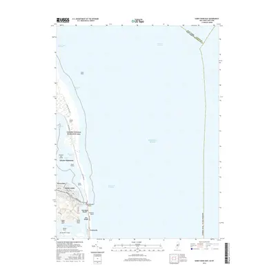
 1998 Sandy Hook2001 Print · USGSThe Monmouth County coastline at the turn of the millennium shows a landscape of strategic maritime defense and dense residential growth. Researchers can trace historic shore sites like Fort Hancock, the Sandy Hook Lighthouse, and Twin Lights State Historic Site.
 - 2011 Map of Long Branch East, 2011 Print
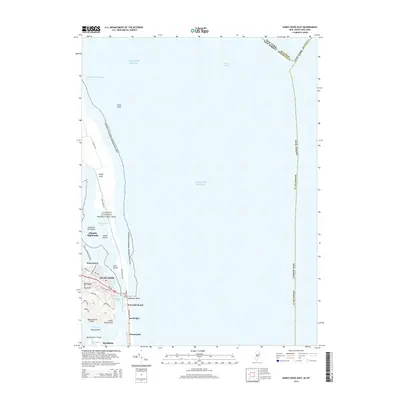
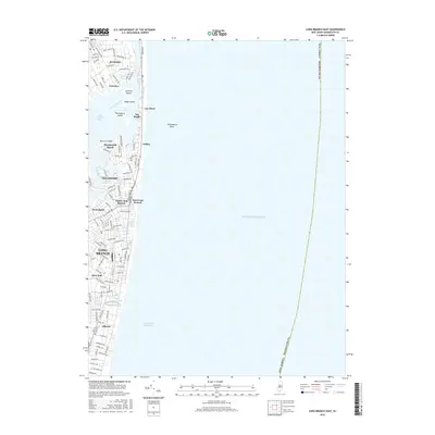
 2011 Long Branch East2011 Print · USGSCovers Sea Bright, including Long Branch, Ocean Township, and other nearby areas
 - 2011 Map of Sandy Hook East, 2011 Print
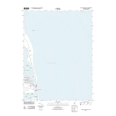 2011 Sandy Hook East2011 Print · USGSCovers Sea Bright, including New York, Middletown Township, and other nearby areas
 - 2014 Map of Sandy Hook East, 2014 Print
 2014 Sandy Hook East2014 Print · USGSCovers Sea Bright, including New York, Middletown Township, and other nearby areas
 - 2014 Map of Long Branch East, 2014 Print
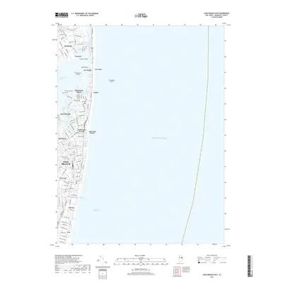
 2014 Long Branch East2014 Print · USGSCovers Sea Bright, including Long Branch, Ocean Township, and other nearby areas
 - 2016 Map of Sandy Hook East, 2016 Print
 2016 Sandy Hook East2016 Print · USGSCovers Sea Bright, including New York, Middletown Township, and other nearby areas
 - 2016 Map of Long Branch East, 2016 Print
 2016 Long Branch East2016 Print · USGSCovers Sea Bright, including Long Branch, Ocean Township, and other nearby areas
 - 2019 Map of Long Branch East, 2019 Print
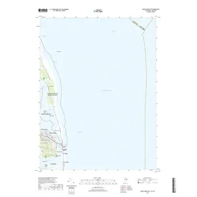
 2019 Long Branch East2019 Print · USGSCovers Sea Bright, including Long Branch, Ocean Township, and other nearby areas
 - 2019 Map of Sandy Hook East, 2019 Print
 2019 Sandy Hook East2019 Print · USGSCovers Sea Bright, including New York, Middletown Township, and other nearby areas
 - 2023 Map of Long Branch East, 2023 Print
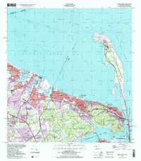
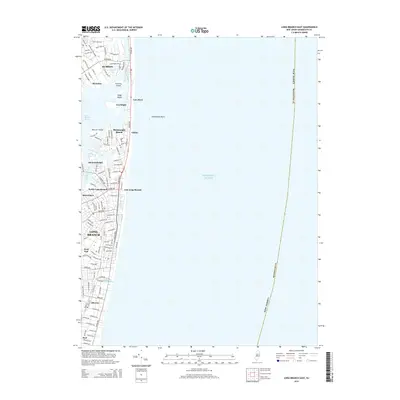
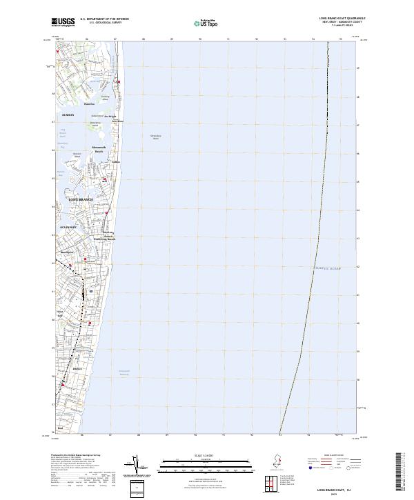 2023 Long Branch East2023 Print · USGSThe Monmouth County coastline comes into sharp focus in this recent survey of the Jersey Shore's evolving residential and maritime landscape. Local historians can trace established neighborhoods from Low Moor to Elberon and locate landmarks like Lake Takanassee and Brookdale Community College.
 - 2023 Map of Sandy Hook East, 2023 Print
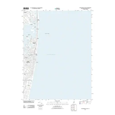
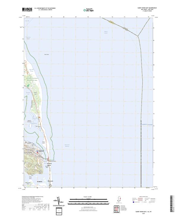 2023 Sandy Hook East2023 Print · USGSThe northern New Jersey coastline appears in detail just as modern conservation and coastal development intersect. Genealogists and historians can trace the streets of Highlands or locate family landmarks near Waterwitch, Normandie, and Sea Bright.
End of results
Showing maps 1-21 of 21
Top cities near Sea Bright
- New York historical maps
- Hempstead historical maps
- Middletown Township historical maps
- Howell Township historical maps
- Linden historical maps
- Marlboro Township historical maps
See more
Top neighborhoods of Sea Bright
Frequently asked questions
- What are the different types of historical maps available for Sea Bright?
- What is the oldest map of Sea Bright?
- Where can I purchase historical maps of Sea Bright for my home or office?
- Where can I download high-res historical maps of Sea Bright?
- Are there historical topographic maps available for Sea Bright?
- Is there historical aerial imagery available for Sea Bright?
- Where are historical maps of Sea Bright sourced from?