Old Maps of Vernon Township, New Jersey for Genealogy
Trace your family roots with 75 historic maps of Vernon Township. These high-res maps reveal old neighborhoods, homesites, landmarks, and streets — helping you uncover where your ancestors lived and how the area evolved over time.
- Explore historic neighborhoods: Identify where your relatives may have lived in the 1800s or 1900s.
- Compare maps over time: Trace the changes in streets, buildings, and landmarks for multi-generational research.
- Perfect for genealogy & ancestry research: Used by family historians and researchers to map out lineage and migration.
These maps are an incredible resource for exploring your personal connection to Vernon Township's past.
Vernon Township, NJ maps
(75)- 1888 Map of Franklin
 1888 Franklin1888 Print · USGSSussex County was a thriving hub of iron mining and rail commerce in the late nineteenth century. Genealogists and historians can trace the early industrial layout of Franklin Furnace, the remote Ogden Mine, and rural junctions like Branchville Junction.
 - 1891 Map of Greenwood Lake
 1891 Greenwood Lake1891 Print · USGSThe Highlands of New York and New Jersey are captured here in the late nineteenth century during a peak era of iron mining and rail expansion. Researchers can trace the industrial footprint of the Sterling Furnace, locate family-named mines like Carey Mine, and follow the historic routes of the New York Susquehanna and Western Railroad.
 - 1893 Map of Greenwood Lake
 1893 Greenwood Lake1893 Print · USGSThe iron-rich highlands of the New York-New Jersey border come to life in this late-century survey of the lakes and ridges between Passaic and Orange counties. Genealogists and industrial historians can trace the paths of the Sterling Mountain Railroad and find long-established sites like Sterling Furnace or the Layton Mines.6 unique versions available
 - 1894 Map of Franklin
 1894 Franklin1894 Print · USGSSussex County was a thriving industrial hub in the late nineteenth century, driven by the iron and zinc deposits of the Highlands. Genealogists and historians can trace the rail-to-mine connections between Franklin Furnace, Ogden Mine, and Deckertown.
 - 1897 Map of Franklin
 1897 Franklin1897 Print · USGSSussex County’s industrial and agricultural heartlands are captured in the late 1890s, centered on the vital mining district and its complex rail network. Genealogists and historians can trace the footprint of early iron and zinc works at Franklin Furnace or locate family homesteads near Branchville and Papakating.
 - 1903 Map of Franklin Furnace
 1903 Franklin Furnace1903 Print · USGSSussex County at the turn of the century is a landscape shaped by iron mining and a bustling rail network. Genealogists and historians can trace the early industrial roots of Franklin Furnace, locate rural landmarks like North Church, and follow the path of the Lehigh and Hudson River Railroad.4 unique versions available
 - 1903 Map of Greenwood Lake, 1909 Print
 1903 Greenwood Lake1909 Print · USGSThe Highlands of New York and New Jersey are captured here at the height of their industrial era, showing a landscape of iron mines and mountain railroads. Genealogists and historians can locate heritage sites like Sterling Furnace, Dayton Mines, and the rural community of New Newfoundland.
 - 1906 Map of Port Jervis, 1956 Print
 1906 Port Jervis1956 Print · USGSPort Jervis sits at the confluence of the Delaware and Neversink rivers during the height of the railroad era. Genealogists and local historians can trace the paths of the Erie RR, find vanished hamlets like Logtown, and locate the Old Bolton Basin along the river.
 - 1906 Map of Goshen, 1959 Print
 1906 Goshen1959 Print · USGSOrange County at the start of the twentieth century was a vital junction of rail lines and dairy country. Genealogists and historians can trace the early footprints of Middletown and Goshen, alongside smaller junctions like Campbell Hall and Pine Island.2 unique versions available
 - 1908 Map of Goshen
 1908 Goshen1908 Print · USGSOrange County's agricultural and railroad heartland is captured here in the early 1900s as a complex web of small villages and connecting lines. Genealogists and historians can trace family locations near Middletown, the rural Wisner PO, or the lowlands of Pellets Island.6 unique versions available
 - 1908 Map of Port Jervis
 1908 Port Jervis1908 Print · USGSThe tri-state border region comes alive at the start of the twentieth century, focused on the rail-and-river hub of Port Jervis. Genealogists and historians can trace family locations across Matamoras, Unionville, and Westtown, or locate landmarks like Tristate Rock and Old Bolton Basin.4 unique versions available
 - 1910 Map of Greenwood Lake
 1910 Greenwood Lake1910 Print · USGSThe Highlands of northern New Jersey and southern New York are shown here during a peak era of iron mining and rail expansion. Genealogists and industrial historians can trace the foundations of Sterling Furnace, Charlotteburg Mine, and the New Milford Sta. along the Erie Railroad.9 unique versions available
 - 1938 Map of Goshen
 1938 Goshen1938 Print · USGSOrange County was a vital rail and agricultural corridor during the early twentieth century. Researchers can trace the path of the Erie RR through Middletown and explore long-standing farming communities like Florida and Orange Farm.
 - 1942 Map of Pine Island, 1954 Print
 1942 Pine Island1954 Print · USGSThe Orange County lowlands were a hub of rail and drainage engineering during the early 1940s. Researchers can trace the path of the Erie and Lehigh and New England railroads as they pass through rural hamlets like Pine Island, Edenville, and Snufftown.2 unique versions available
 - 1943 Map of Franklin Furnace
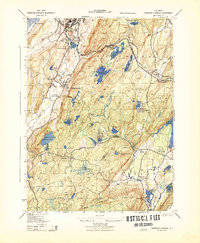 1943 Franklin Furnace1943 Print · USGSMid-century Sussex County is defined here by its deep mining roots and mountain reservoirs. Trace the industrial landscape of Franklin and Ogdensburg through landmarks like the N J Zinc Co, the Stockholm School, and the Lehigh and Hudson River.
 - 1943 Map of Unionville
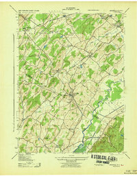 1943 Unionville1943 Print · USGSThe Orange County and Sussex County borderlands come alive in the early 1940s, showing a landscape shaped by rail lines and river valleys. Researchers can trace the industrial footprints of the American Silk Label Co or locate family roots near Minisink Cemetery and Westtown School.
 - 1943 Map of Newfoundland
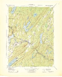 1943 Newfoundland1943 Print · USGSThe Pequannock River valley and its surrounding ridges are captured here during the Second World War. Researchers can trace the New York Susquehanna and Western rail line through Newfoundland or locate landmarks like the Fire House and West Milford School.
 - 1943 Map of Greenwood Lake
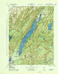 1943 Greenwood Lake1943 Print · USGSGreenwood Lake and the surrounding Highlands are captured during the early 1940s, revealing a landscape defined by iron industry and lakeside settlement. Genealogists and researchers can locate the Ringwood Iron Plant Mine, St Francis School, and the Erie Ringwood Branch railroad.
 - 1943 Map of Wawayanda
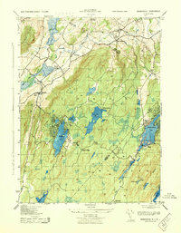 1943 Wawayanda1943 Print · USGSThe New York and New Jersey borderlands appear here in the early 1940s as a landscape of highland lakes and valley rail stops. Genealogists and local historians can trace the transit corridor of the Lehigh and Hudson River railroad and locate old rural landmarks like the New Milford School and Maple Grange.2 unique versions available
 - 1943 Map of Pine Island
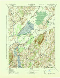 1943 Pine Island1943 Print · USGSThe fertile black dirt region of the New York-New Jersey border is captured here during the 1940s, showing a landscape defined by rail transit and river engineering. Genealogists and local historians can trace the foundations of Pine Island, locate the St Stanislaus Ch, or follow the industrial footprint of the Universal Atlas Cement Co.
 - 1943 Map of Hamburg, 1944 Print
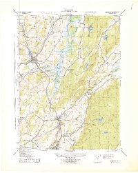 1943 Hamburg1944 Print · USGSSussex County's industrial and rail landscape comes alive in this mid-century survey of the Wallkill River valley. Researchers can trace the legacy of the Alderney Milk & Cream Co, various Stone Quarries, and long-standing cemeteries like Fairview Cemetery.
 - 1946 Map of Goshen
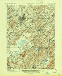 1946 Goshen1946 Print · USGSOrange County was a bustling crossroads of the Erie RR and several other lines during the early twentieth century. Genealogists and local historians can trace family-named hills and vanished rail stops from Pellets Island to Van Burenville and Stony Ford.
 - 1950 Map of Scranton, 1952 Print
 1950 Scranton1952 Print · USGSMid-century Northeast Pennsylvania and the Hudson Valley come alive in this survey of the tri-state region. Genealogists and historians can trace the dense rail networks of the Erie RR and DL&W RR between industrial hubs like Scranton and Wilkes-Barre.
 - 1953 Map of Unionville
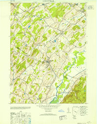 1953 Unionville1953 Print · USGSThe borderlands of New York and New Jersey are captured in the mid-fifties, centered on the village of Unionville and its surrounding rural hamlets. Local historians can trace industrial roots at the Sussex Distillery or locate historic schoolhouses like Westtown School and Johnson School.
 - 1953 Map of Scranton
 1953 Scranton1953 Print · USGSNortheastern Pennsylvania and the Catskills are shown in great detail during the early fifties, a time when rail lines and river valleys dictated the region's growth. Genealogists and historians can trace the industrial hearts of Scranton and Wilkes-Barre or locate remote landmarks like High Point and Lake Wallenpaupack.
Showing maps 1-25 of 75
Top cities near Vernon Township
- Wayne historical maps
- Warwick historical maps
- Middletown historical maps
- West Milford historical maps
- Rockaway Township historical maps
- Mahwah historical maps
See more
Top neighborhoods of Vernon Township
- Independence Corner historical maps
- Willow Brook historical maps
- Highland Lakes historical maps
- Vernon Valley historical maps
- Wawayanda historical maps
- Glenwood historical maps
See more
Frequently asked questions
- What are the different types of historical maps available for Vernon Township?
- What is the oldest map of Vernon Township?
- Where can I purchase historical maps of Vernon Township for my home or office?
- Where can I download high-res historical maps of Vernon Township?
- Are there historical topographic maps available for Vernon Township?
- Is there historical aerial imagery available for Vernon Township?
- Where are historical maps of Vernon Township sourced from?