2010s Maps of Vernon Township, New Jersey
Explore 28 historic maps of Vernon Township from the 2010s. These maps offer a rare glimpse into what life looked like during the 2010s — showing old roads, neighborhoods, homes, and landmarks that have changed or disappeared over time.
Whether you're researching your family's past, planning a metal detecting trip, or studying how Vernon Township's landscape evolved across the 2010s, these high-resolution maps are a powerful tool for exploring the history of this region.
- Focus on a specific era: All maps on this page are from the 2010s, giving you a focused view of this time period.
- See what’s changed: Compare century-old streets, trails, and buildings to today's modern landscape using overlays and satellite layers.
- Research with precision: Use these maps for genealogy, historical research, land use analysis, or educational projects.
- View, download, or print: Maps are fully viewable online in high resolution, and can be downloaded or printed for your own records.
Start exploring Vernon Township's history through authentic maps from the 2010s. This is your window into the past.
Vernon Township, NJ maps
(28)- 2011 Map of Unionville, 2011 Print
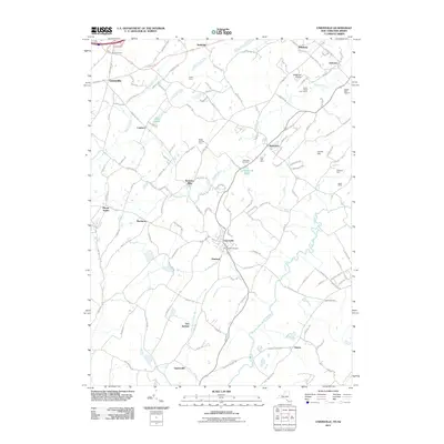 2011 Unionville2011 Print · USGSThe rural communities of New York and New Jersey are captured here at the start of the new millennium as agriculture and aviation meet along the state line. Researchers can locate family landmarks like Kezialain Farm and Keiths Farm, or trace heritage sites such as Unionville Cemetery and Waterloo Mills.
 - 2011 Map of Newfoundland, 2011 Print
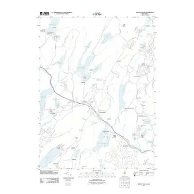 2011 Newfoundland2011 Print · USGSThe Pequannock River valley and its surrounding Highlands are captured here in the early 2000s, showing a landscape defined by expansive reservoirs and small settlements. Researchers can trace local history through the Oak Ridge Presbyterian Church and several family burying grounds like Vreeland Cemetery and Turner Cemetery.
 - 2011 Map of Hamburg, 2011 Print
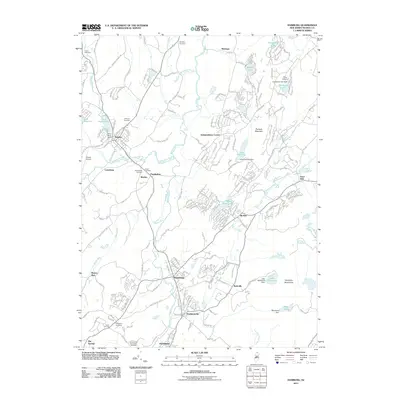 2011 Hamburg2011 Print · USGSSussex County’s river valleys and upland ridges are captured here during the early twenty-first century. Genealogists and local historians can trace burial sites and vanished hamlets through labels like Union Cemetery, Rudeville, and Hardistonville.
 - 2011 Map of Wawayanda, 2011 Print
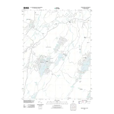 2011 Wawayanda2011 Print · USGSThe Highlands along the New Jersey and New York border are shown here in detail during their 21st-century development. Researchers can trace the layout of Highland Lakes, find landmarks like the Warwick Drive-In, and locate smaller settlements such as New Milford and Prices Switch.
 - 2011 Map of Franklin, 2011 Print
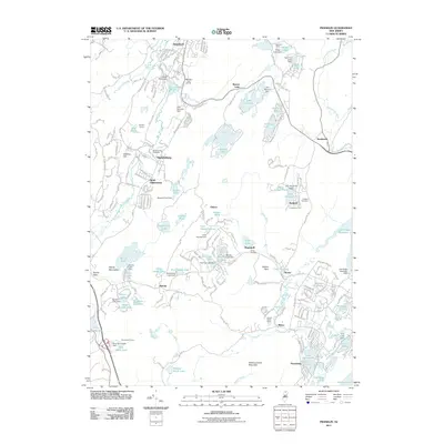 2011 Franklin2011 Print · USGSThe northern Highlands are shown here during a period of modern development within a landscape of older mining and rail infrastructure. Researchers can trace the N Y S & W RR corridor through Ogdensburg and Franklin, locating sites like the Franklin Quarry and Saint Thomas Cemetery.
 - 2011 Map of Pine Island, 2011 Print
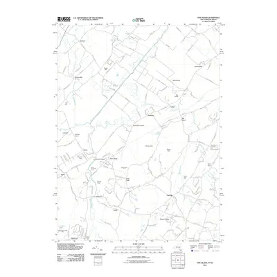 2011 Pine Island2011 Print · USGSThe Drowned Lands of the Wallkill River valley appear here in the early twenty-first century as a distinctive patchwork of black-dirt farming and small hamlets. Genealogists and historians can locate family burial plots at Saint Stanislaus Cemetery or trace old routes through Snufftown and Edenville.
 - 2011 Map of Greenwood Lake, 2011 Print
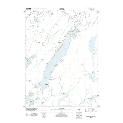 2011 Greenwood Lake2011 Print · USGSGreenwood Lake at the New York and New Jersey border is seen here as a bustling hub of lakeside settlements and mountain recreation. Researchers can trace historic industrial sites like the Ringwood Iron Plant Mine or locate family plots at Erskine Cemetery and Sterling Cemetery.
 - 2013 Map of Unionville, 2013 Print
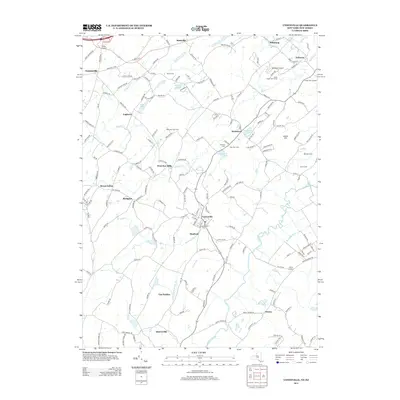 2013 Unionville2013 Print · USGSThe rural borderlands between New York and New Jersey appear in detail here during the early twenty-first century. Researchers can trace family farmsteads like Kezialain Farm and locate historic burial grounds including Unionville Cem and Minisink Cem.
 - 2013 Map of Pine Island, 2013 Print
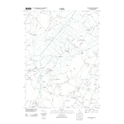 2013 Pine Island2013 Print · USGSThe black dirt agricultural region of New York and New Jersey is captured here in the early twenty-first century, showing a landscape defined by intricate drainage. Researchers can trace historic cemeteries and small hamlets like Edenville, Durlandville, and Saint Stanislaus Cem.
 - 2013 Map of Greenwood Lake, 2013 Print
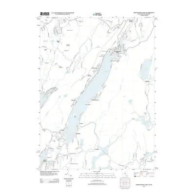 2013 Greenwood Lake2013 Print · USGSThe Greenwood Lake region comes into focus during the early 21st century, showing the established communities and shoreline developments between New York and New Jersey. Genealogists and local historians can trace legacy sites like Warwick Cem, Chapel Island, and the old settlement at Dutch Hollow.
 - 2014 Map of Hamburg, 2014 Print
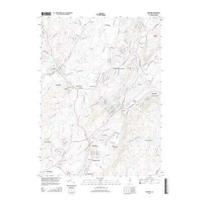 2014 Hamburg2014 Print · USGSUpper Sussex County’s complex river valleys and ridge-top communities are captured here in the mid-2010s. Local researchers can locate family burial sites at Fairview Cem or trace the early settlement footprints of Hardistonville, Rudeville, and Martins.
 - 2014 Map of Franklin, 2014 Print
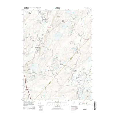 2014 Franklin2014 Print · USGSThe Wallkill Valley mining corridor and the surrounding highlands are captured here in the early twenty-first century. Genealogists and local historians can trace property and burial sites at Immaculate Conception Cem, Saint Thomas Cem, and the old mining area near Sterling Hill.
 - 2014 Map of Newfoundland, 2014 Print
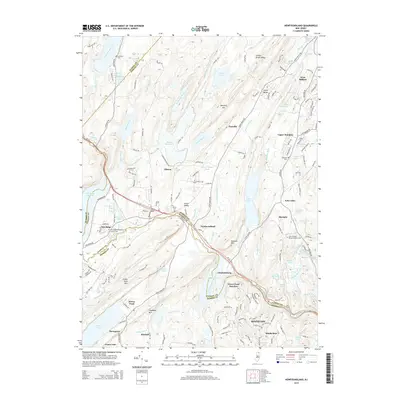 2014 Newfoundland2014 Print · USGSThe New Jersey Highlands are captured here in the early twenty-first century, showing a landscape defined by massive reservoirs and mountain ridges. Researchers can trace local history through sites like Oak Ridge Presbyterian Church, Canistear Cem, and the old settlement at Charlotteburg.
 - 2014 Map of Wawayanda, 2014 Print
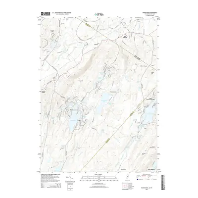 2014 Wawayanda2014 Print · USGSThe Highlands of the New York and New Jersey border are captured here in the early twenty-first century. Researchers can trace lakeside developments and remote mountain settlements from Highland Lakes to the shores of Wawayanda Lake and Bearfort Waters.
 - 2016 Map of Pine Island, 2016 Print
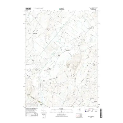 2016 Pine Island2016 Print · USGSThe fertile black dirt region of Orange County is captured here during the mid-2010s, showing the intersection of agricultural tradition and New York-New Jersey border history. Researchers can locate family sites at Saint Stanislaus Cemetery or trace the path of the Appalachian National Scenic Trail near Glenwood.
 - 2016 Map of Unionville, 2016 Print
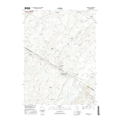 2016 Unionville2016 Print · USGSOrange County and Sussex County are captured here in the mid-2010s, showing the intersection of agricultural valleys and protected parklands. Genealogists and hikers can trace the Appalachian National Scenic Trail as it passes near Unionville Cem and Waterloo Mills.
 - 2016 Map of Greenwood Lake, 2016 Print
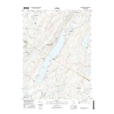 2016 Greenwood Lake2016 Print · USGSCrossing the New York and New Jersey border in the mid-2010s, this survey documents the Highlands region from the village of Warwick down to Ringwood. Genealogists and local historians can trace family sites at Warwick Cem, the Greenwood Lake Airport, and the Appalachian National Scenic Trail.
 - 2016 Map of Wawayanda, 2016 Print
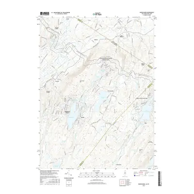 2016 Wawayanda2016 Print · USGSThe northern New Jersey highlands and Orange County border come into sharp focus during this era of lakeside development and conservation. Genealogists and hikers can trace the Appalachian National Scenic Trail as it passes Highland Lakes and the Glenwood Cem.
 - 2016 Map of Franklin, 2016 Print
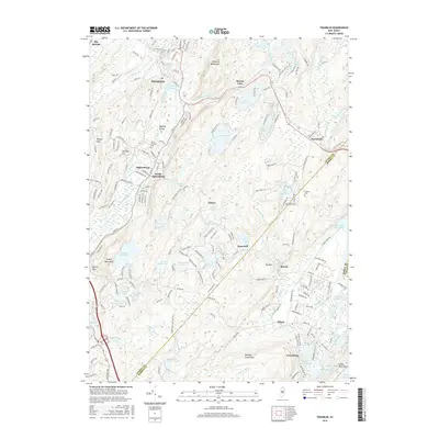 2016 Franklin2016 Print · USGSThe Sussex and Morris County highlands come into focus in the mid-2010s, showing a landscape defined by historic mineral wealth and expansive reservoirs. Trace the industrial heritage of Sterling Hill or follow the route of the Ogden Mine Railroad Trail past Ryker Lake.
 - 2016 Map of Newfoundland, 2016 Print
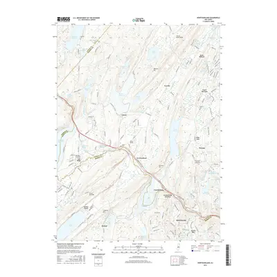 2016 Newfoundland2016 Print · USGSThe Highlands of Passaic and Morris Counties come into focus in the mid-2010s, showcasing a landscape of massive reservoirs and small crossroads settlements. Genealogists can trace family names at the Oak Ridge Presbyterian Church Cemetery or Turner Cem, while locating landmarks in Newfoundland and Oak Ridge.
 - 2016 Map of Hamburg, 2016 Print
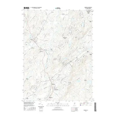 2016 Hamburg2016 Print · USGSThe boroughs of Sussex and Hamburg are captured in the mid-2010s, showing a landscape shaped by the Wallkill River and rising mountain ridges. Researchers can trace local lineage through several documented sites like Union Cem and Hardyston Cem or locate the historic center of Hardistonville.
 - 2019 Map of Unionville, 2019 Print
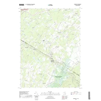 2019 Unionville2019 Print · USGSCrossing the New York and New Jersey border in the late twenty-teens, this landscape balances protected wilderness with historic rural hamlets. Genealogists and hikers can trace the Appalachian National Scenic Trail past Minisink Cem and through the village of Unionville.
 - 2019 Map of Greenwood Lake, 2019 Print
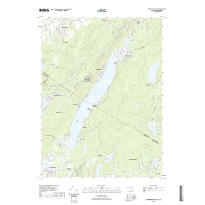 2019 Greenwood Lake2019 Print · USGSGreenwood Lake and its surrounding mountain ridges appear here in the late 2010s, straddling the New York and New Jersey state line. Researchers can locate the Erskine Grave Site, trace the Appalachian National Scenic Trail, and find local burials at Warwick Cemetery.
 - 2019 Map of Pine Island, 2019 Print
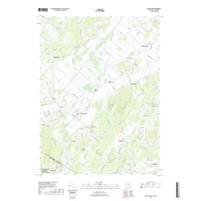 2019 Pine Island2019 Print · USGSThe fertile black dirt region of Orange County is captured here in the late twenty-tens, showing a landscape defined by industrial-scale drainage and unique terrain. Researchers can trace family sites near Pine Island or locate rural burials at Saint Stanislaus Cem and Beth Shalom Cem.
 - 2019 Map of Newfoundland, 2019 Print
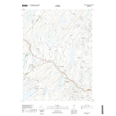 2019 Newfoundland2019 Print · USGSNorthern New Jersey's Highlands appear in high detail during the late twenty-tens, showing a landscape of massive reservoirs and ridgelines. Researchers can trace historic local sites like Saint Josephs Roman Catholic Cem, the NY S & W RR rail corridor, and the settlement at Newfoundland.
Showing maps 1-25 of 28
Top cities near Vernon Township
- Wayne historical maps
- Warwick historical maps
- Middletown historical maps
- West Milford historical maps
- Rockaway Township historical maps
- Mahwah historical maps
See more
Top neighborhoods of Vernon Township
- Independence Corner historical maps
- Willow Brook historical maps
- Highland Lakes historical maps
- Vernon Valley historical maps
- Wawayanda historical maps
- Glenwood historical maps
See more
Frequently asked questions
- What are the different types of historical maps available for Vernon Township?
- What is the oldest map of Vernon Township?
- Where can I purchase historical maps of Vernon Township for my home or office?
- Where can I download high-res historical maps of Vernon Township?
- Are there historical topographic maps available for Vernon Township?
- Is there historical aerial imagery available for Vernon Township?
- Where are historical maps of Vernon Township sourced from?