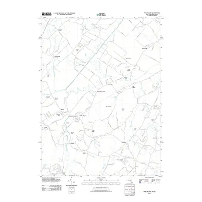
2011 Map of Pine Island
USGS Topo · Published 2011About this map
Pine Island and the surrounding "islands" of the Wallkill River floodplain anchor this landscape, where the rich black soils of the Drowned Lands have long supported specialized agriculture. The map reveals an intricate network of drainage features like the Wawayanda Channel, McKnight Ditch, and Eurich Ditch, which transformed the marshy bottomlands into productive territory for Scheuermann Farms and the Pine Island Turf Nursery. Historically significant hamlets such as Edenville, Durlandville, and Snufftown dot the rises above the wetlands, connected by traditional routes like the Pulaski Hwy and Celery Ave. This area is also a place of long-term residence and memory, evidenced by the cluster of burial grounds near the village, including Saint Stanislaus Cemetery and Beth Shalom Cemetery. Between the prominent heights of Mount Adam and Mount Eve, the map documents a resilient agricultural community defined by its unique relationship with the water-bound geography of Orange County.
Find a feature on this map
118 named features on this map. Tap any name to fly to it.
Don’t see what you’re looking for? This feature index may not catch every label — zoom into the map to look around manually.
Map Details
Editions of this 2011 Pine Island Map
This is the sole edition of this map. No revisions or reprints were ever made.
Other maps of this area

1888 · Franklin
USGS Topo · 1:62,500

1891 · Greenwood Lake
USGS Topo · 1:62,500

1893 · Greenwood Lake
USGS Topo · 1:62,500

1894 · Franklin
USGS Topo · 1:62,500

1897 · Franklin
USGS Topo · 1:62,500

1903 · Franklin Furnace
USGS Topo · 1:62,500

1903 · Greenwood Lake
USGS Topo · 1:62,500

1906 · Port Jervis
USGS Topo · 1:62,500

1906 · Goshen
USGS Topo · 1:62,500

1908 · Goshen
USGS Topo · 1:62,500