2000s (21st Century) Maps of Embudo Canyon, Albuquerque
Explore 6 historic maps of Embudo Canyon from the 2000s (21st Century). These maps offer a rare glimpse into what life looked like during the 2000s — showing old roads, neighborhoods, homes, and landmarks that have changed or disappeared over time.
Whether you're researching your family's past, planning a metal detecting trip, or studying how Embudo Canyon's landscape evolved across the 2000s, these high-resolution maps are a powerful tool for exploring the history of this region.
- Focus on a specific era: All maps on this page are from the 2000s, giving you a focused view of this time period.
- See what’s changed: Compare century-old streets, trails, and buildings to today's modern landscape using overlays and satellite layers.
- Research with precision: Use these maps for genealogy, historical research, land use analysis, or educational projects.
- View, download, or print: Maps are fully viewable online in high resolution, and can be downloaded or printed for your own records.
Start exploring Embudo Canyon's history through authentic maps from the 2000s. This is your window into the past.
Embudo Canyon, Albuquerque maps
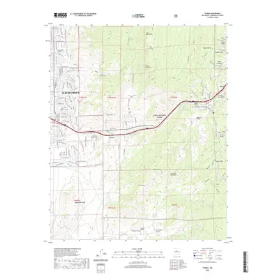
(6)- 2006 Map of Tijeras, 2007 Print
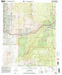 2006 Tijeras2007 Print · USGSThe foothills of Albuquerque meet the high peaks of the Sandias in the mid-2000s, showing a landscape shaped by ancient grants and modern military use. Genealogists can trace family names at Santo Nino Cem and A Montoya Cem or locate the Sandia Pueblo Ruins.
 - 2011 Map of Tijeras, 2011 Print
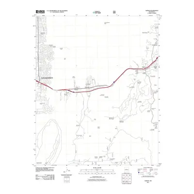 2011 Tijeras2011 Print · USGSCovers Embudo Canyon, including Albuquerque, Cedar Crest, and other nearby areas
 - 2013 Map of Tijeras, 2013 Print
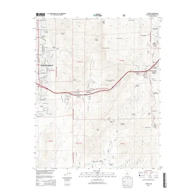 2013 Tijeras2013 Print · USGSCovers Embudo Canyon, including Albuquerque, Cedar Crest, and other nearby areas
 - 2017 Map of Tijeras, 2017 Print
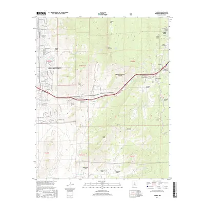 2017 Tijeras2017 Print · USGSCovers Embudo Canyon, including Albuquerque, Cedar Crest, and other nearby areas
 - 2020 Map of Tijeras, 2020 Print
 2020 Tijeras2020 Print · USGSCovers Embudo Canyon, including Albuquerque, Cedar Crest, and other nearby areas
 - 2023 Map of Tijeras, 2023 Print
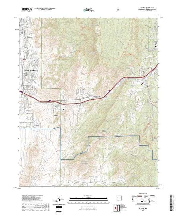 2023 Tijeras2023 Print · USGSThe East Mountains and the Tijeras Canyon corridor are shown here in the contemporary era, where the edge of the city meets the wilderness. Researchers can locate family sites and landmarks like Santo Niño Camposanto Cem, Cedar Crest, and Kirtland Air Force Base.
End of results
Showing maps 1-6 of 6
Top cities near Embudo Canyon
- Albuquerque historical maps
- Rio Rancho historical maps
- South Valley historical maps
- Bernalillo historical maps
- Corrales historical maps
- Los Ranchos de Albuquerque historical maps
See more
Frequently asked questions
- What are the different types of historical maps available for Embudo Canyon?
- What is the oldest map of Embudo Canyon?
- Where can I purchase historical maps of Embudo Canyon for my home or office?
- Where can I download high-res historical maps of Embudo Canyon?
- Are there historical topographic maps available for Embudo Canyon?
- Is there historical aerial imagery available for Embudo Canyon?
- Where are historical maps of Embudo Canyon sourced from?