Old Maps of Mesa Del Sol, Albuquerque for Academic Research
Study the evolution of Mesa Del Sol with 12 high-resolution historic maps. Whether you're teaching, researching, or modeling changes in land use, these maps provide essential visual documentation of urban, environmental, and geographic change.
- Analyze long-term change: Track patterns in development, transportation, and natural features.
- Ideal for environmental or urban studies: Support academic projects with primary historical map data.
- Use in the classroom or lab: Educators and researchers rely on these maps to bring historical context to life.
These maps are a powerful tool for teaching, research, and visualizing how Mesa Del Sol has changed over the decades.
Mesa Del Sol, Albuquerque maps
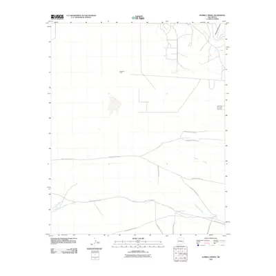
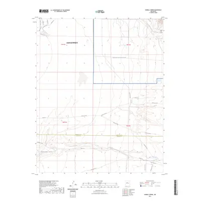
(12)- 1952 Map of Hubbell Spring, 1953 Print
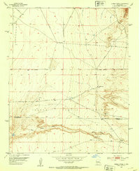 1952 Hubbell Spring1953 Print · USGSThe Isleta Pueblo region in the early fifties shows a rugged landscape of ranching and early aviation infrastructure. Researchers can trace the boundaries of Mc Cormick Ranch and locate remote landmarks like Hubble Spring and the Ojo de la Cabra spring.4 unique versions available
 - 1954 Map of Socorro, 1972 Print
 1954 Socorro1972 Print · USGSMid-century New Mexico comes into focus as the Rio Grande valley and the surrounding high desert undergo post-war growth. Genealogists and historians can trace old mountain settlements like Tajique and Punta de Agua or locate remote sites like the Torrance Mine.2 unique versions available
 - 1958 Map of Socorro
 1958 Socorro1958 Print · USGSNew Mexico's high desert during the late fifties reveals a landscape of massive land grants and remote mining outposts. Researchers can trace the path of the Atchison Topeka and Santa Fe railroad as it connects Socorro and Belen to industrial sites like the Manganese Mill.
 - 1962 Map of Socorro
 1962 Socorro1962 Print · USGSCentral New Mexico comes alive in the early sixties as the rail-and-river corridor of the Rio Grande connects historic pueblos and ranching towns. Local historians can trace the route of the Atchison Topeka and Santa Fe through Belen or locate the Torrance Mine near Mountainair.
 - 1979 Map of Belen
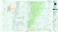 1979 Belen1979 Print · USGSThe Rio Grande Valley south of Albuquerque in the late seventies reveals a landscape of historic land grants and modern subdivisions. Trace the rail-and-river corridor through Belen and Isleta Pueblo, or find high-elevation landmarks in Cibola National Forest.2 unique versions available
 - 1991 Map of Hubbell Spring, 1996 Print
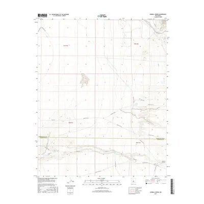
 1991 Hubbell Spring1996 Print · USGSThe high desert south of Albuquerque transitioned from ranching to military and indigenous land management by the early 1990s. Researchers can trace the boundaries of the Isleta Pueblo Indian Reservation and locate local landmarks like Hubbell Spring or the McCormick Ranch.
 - 1996 Map of Hubbell Spring, 1999 Print
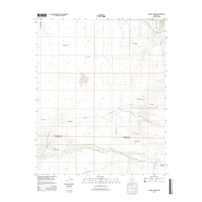
 1996 Hubbell Spring1999 Print · USGSThe high desert south of Albuquerque in the mid-1990s reveals a landscape defined by tribal lands and military infrastructure. Researchers can trace the boundaries of Kirtland Air Force Base alongside local landmarks like McCormick Ranch and Hubbell Spring.
 - 2010 Map of Hubbell Spring, 2010 Print
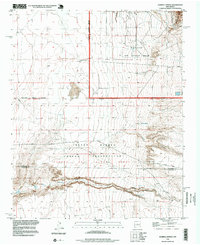
 2010 Hubbell Spring2010 Print · USGSCovers Mesa Del Sol, including Albuquerque, Bernalillo County, and other nearby areas
 - 2013 Map of Hubbell Spring, 2013 Print
 2013 Hubbell Spring2013 Print · USGSCovers Mesa Del Sol, including Albuquerque, Bernalillo County, and other nearby areas
 - 2017 Map of Hubbell Spring, 2017 Print
 2017 Hubbell Spring2017 Print · USGSCovers Mesa Del Sol, including Albuquerque, Bernalillo County, and other nearby areas
 - 2020 Map of Hubbell Spring, 2020 Print
 2020 Hubbell Spring2020 Print · USGSCovers Mesa Del Sol, including Albuquerque, Bernalillo County, and other nearby areas
 - 2023 Map of Hubbell Spring, 2023 Print
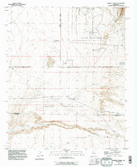
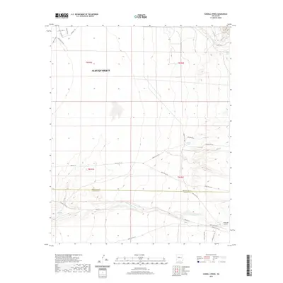
 2023 Hubbell Spring2023 Print · USGSThe Albuquerque foothills and desert plains are captured here in the early twenty-first century, showing the intersection of military and tribal lands. Researchers can trace historic water sources like Hubbell Spring and Ojo de la Cabra alongside the route of Indian Svc Rte 60.
End of results
Showing maps 1-12 of 12
Frequently asked questions
- What are the different types of historical maps available for Mesa Del Sol?
- What is the oldest map of Mesa Del Sol?
- Where can I purchase historical maps of Mesa Del Sol for my home or office?
- Where can I download high-res historical maps of Mesa Del Sol?
- Are there historical topographic maps available for Mesa Del Sol?
- Is there historical aerial imagery available for Mesa Del Sol?
- Where are historical maps of Mesa Del Sol sourced from?