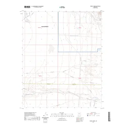
2023 Map of Hubbell Spring
USGS Topo · Published 2023About this map
The high desert landscape of Kirtland Air Force Base dominates much of this Bernalillo County terrain, where the sprawling urban growth of Albuquerque meets restricted military and tribal lands. This modern survey illustrates the critical water sources that have long defined survival in this arid environment, including the namesake Hubbell Spring and Clear Water Spring tucked into the northern arroyos. The land is marked by significant topographical relief, transitioning from the alluvial fans of Arroyo del Coyote to the deep incisions of Hells Canyon Wash further south. A complex network of tribal and service roads, such as Indian Svc Rte 60 and Tribal Rd 16, provide the primary access through the Cañada Colorada area, marking the boundary where Bernalillo and Valencia counties meet.
Find a feature on this map
32 named features on this map. Tap any name to fly to it.
Don’t see what you’re looking for? This feature index may not catch every label — zoom into the map to look around manually.
Map Details
Editions of this 2023 Hubbell Spring Map
This is the sole edition of this map. No revisions or reprints were ever made.
Other maps of this area

1888 · Bernalillo
USGS Topo · 1:125,000

1889 · Albuquerque
USGS Topo · 1:125,000

1892 · San Pedro
USGS Topo · 1:125,000

1893 · Albuquerque
USGS Topo · 1:125,000

1917 · Estancia
USGS Topo · 1:125,000

1934 · West Albuquerque
USGS Topo · 1:24,000

1934 · East Albuquerque
USGS Topo · 1:24,000

1938 · Albuquerque
USGS Topo · 1:62,500

1952 · Hubbell Spring
USGS Topo · 1:24,000

1952 · Los Lunas SE
USGS Topo · 1:24,000