
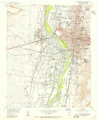
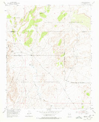
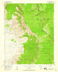
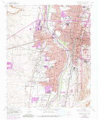
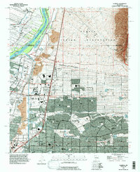
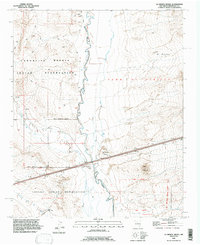
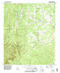
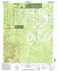
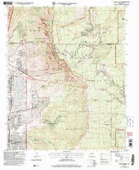
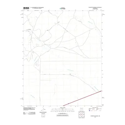
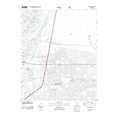
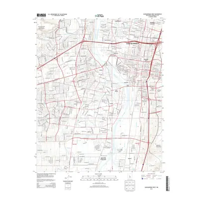
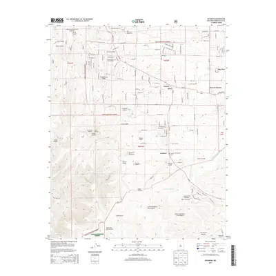
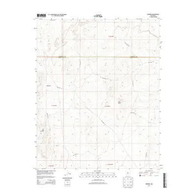
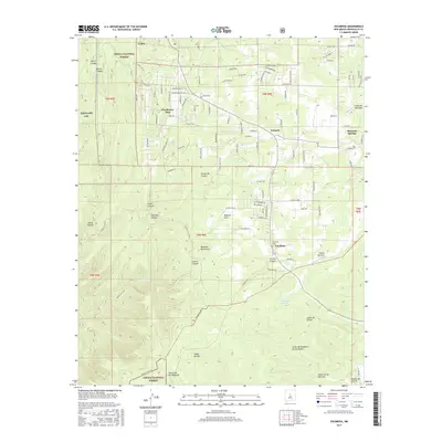
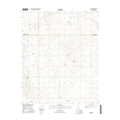
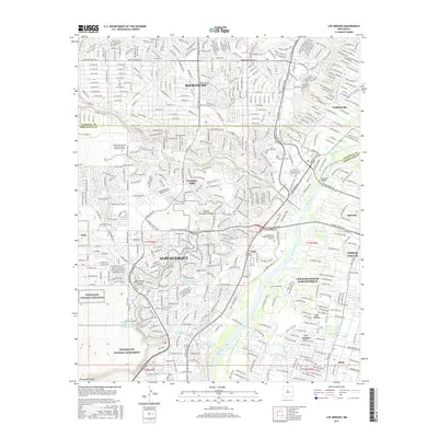
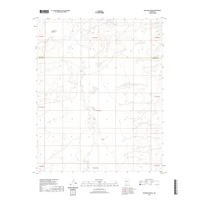
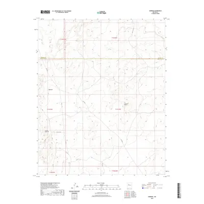
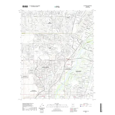
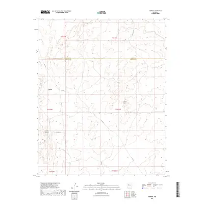
1934 Map of West Albuquerque
USGS Topo · Published 1934About this map
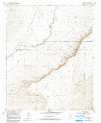
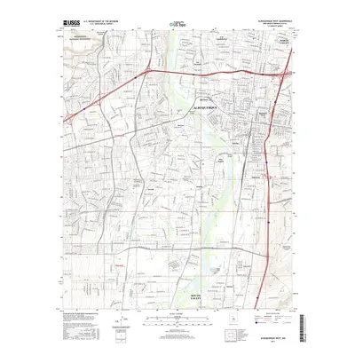
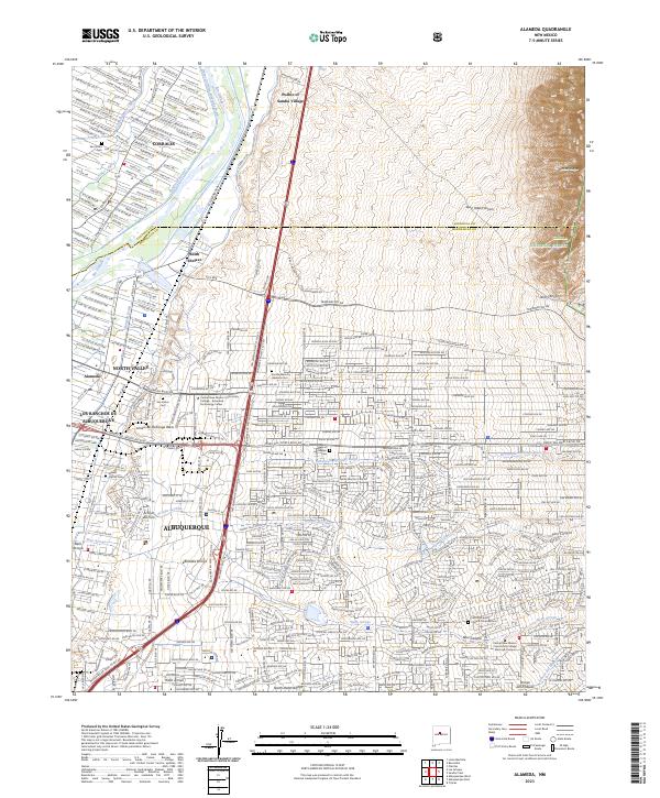
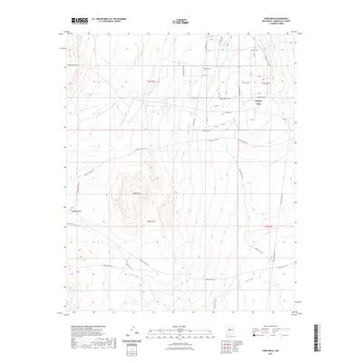
Rio Grande waters dominate the valley floor, where an intricate network of irrigation and drainage infrastructure such as the Arenal Canal and Isleta Drain supported the agricultural life of the Atrisco Grant and Pajarito Grant. This 1934 survey, completed as a County Emergency Relief project, captures the transition between the historic adobe core of Old Albuquerque and the industrial expansion of the modern city. The landscape is defined by its educational and industrial landmarks, including the US Indian School and the Conoco Oil Co Refinery. Early aviation history is noted by a Landing Field west of the river, while the Atchison Topeka and Santa Fe railroad corridor serves as the backbone for heavy industry like the Santa Fe Tie Yards. The proximity of schools like Atrisco Sch and Armijo School to the various ditches and drains illustrates the tight-knit relationship between these valley settlements and their water management systems.
Find a feature on this map
43 named features on this map. Tap any name to fly to it.
Don’t see what you’re looking for? This feature index may not catch every label — zoom into the map to look around manually.
Map Details
Editions of this 1934 West Albuquerque Map
This is the sole edition of this map. No revisions or reprints were ever made.
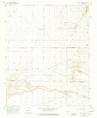
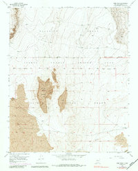
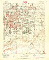
Historical Maps of Albuquerque Through Time
125 maps found

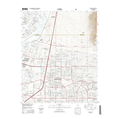
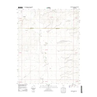
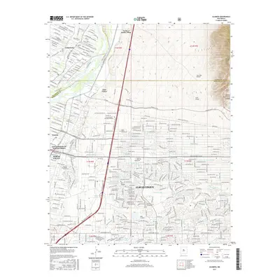
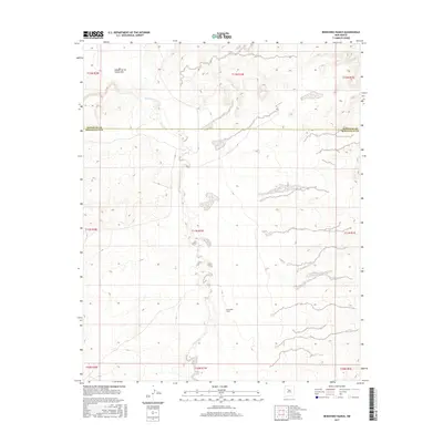
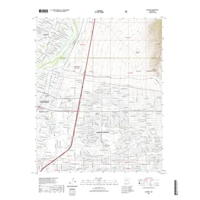
1934 Alameda
Bernalillo County, NM

1934 East Albuquerque
Bernalillo County, NM

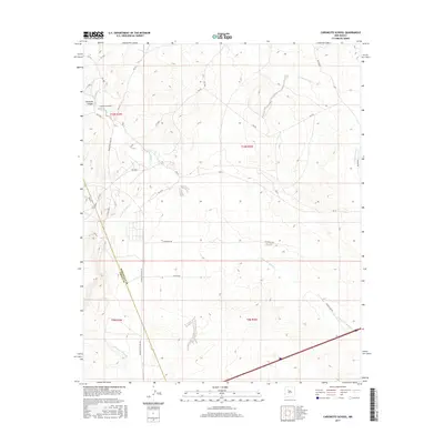
1934 Griegos
Bernalillo County, NM
1934 West Albuquerque
Bernalillo County, NM
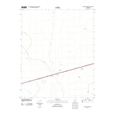
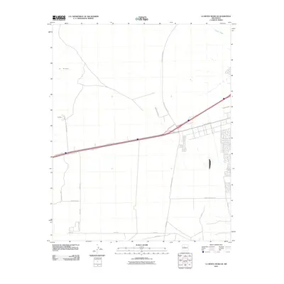
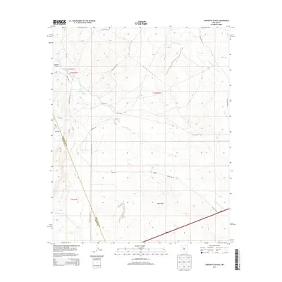
1952 Dalies NW
Bernalillo County, NM
1952 Hubbell Spring
Bernalillo County, NM
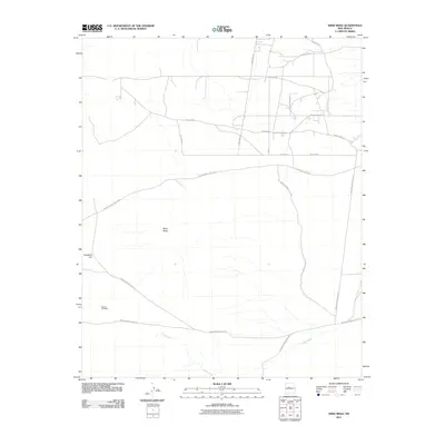
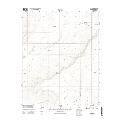
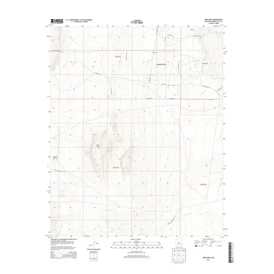
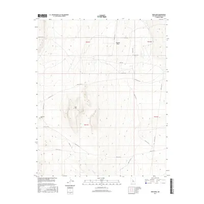
1952 Wind Mesa
Bernalillo County, NM

1954 Alameda
Bernalillo County, NM
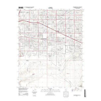
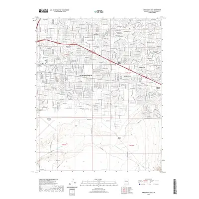
1954 Albuquerque East
Bernalillo County, NM
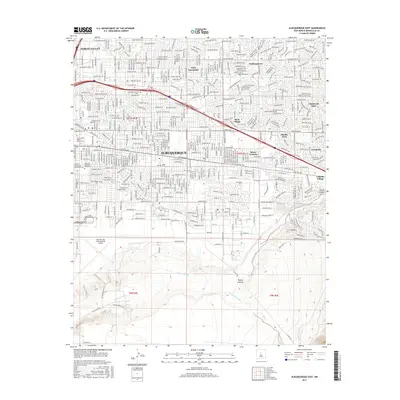
1954 Albuquerque West
Bernalillo County, NM
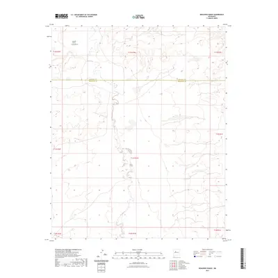
1954 Benavidez Ranch
Bernalillo County, NM
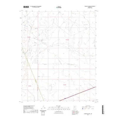
1954 Canoncito School
Bernalillo County, NM
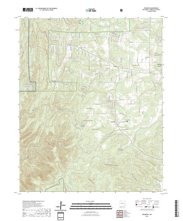
1954 Escabosa
Bernalillo County, NM
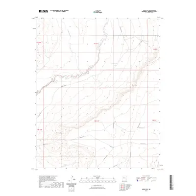
1954 Herrera
Bernalillo County, NM
1954 La Mesita Negra
Bernalillo County, NM

1954 La Mesita Negra SE
Bernalillo County, NM
1954 Los Griegos
Bernalillo County, NM
1954 Mount Washington
Bernalillo County, NM
1954 Sandia Crest
Bernalillo County, NM
1954 Volcano Ranch
Bernalillo County, NM
1960 Alameda
Bernalillo County, NM
1960 Albuquerque East
Bernalillo County, NM
1960 Albuquerque West
Bernalillo County, NM
1960 Los Griegos
Bernalillo County, NM
1961 Sandia Crest
Bernalillo County, NM
1964 Mount Washington
Bernalillo County, NM
1990 Alameda
Bernalillo County, NM
1990 Albuquerque East
Bernalillo County, NM
1990 Albuquerque West
Bernalillo County, NM
1990 Benavidez Ranch
Bernalillo County, NM
1990 La Mesita Negra
Bernalillo County, NM

1990 La Mesita Negra SE
Bernalillo County, NM

1990 Los Griegos
Bernalillo County, NM
1990 Sandia Crest
Bernalillo County, NM
1990 The Volcanoes
Bernalillo County, NM
1991 Dalies NW
Bernalillo County, NM
1991 Escabosa
Bernalillo County, NM
1991 Hubbell Spring
Bernalillo County, NM
1991 Mount Washington
Bernalillo County, NM
1991 Wind Mesa
Bernalillo County, NM
1995 Escabosa
Bernalillo County, NM
1995 Mount Washington
Bernalillo County, NM
1996 Hubbell Spring
Bernalillo County, NM
2006 Alameda
Bernalillo County, NM
2006 Sandia Crest
Bernalillo County, NM
2010 Albuquerque East
Bernalillo County, NM
2010 Albuquerque West
Bernalillo County, NM
2010 Benavidez Ranch
Bernalillo County, NM
2010 Canoncito School
Bernalillo County, NM
2010 Dalies NW
Bernalillo County, NM
2010 Herrera
Bernalillo County, NM
2010 Hubbell Spring
Bernalillo County, NM
2010 La Mesita Negra
Bernalillo County, NM
2010 La Mesita Negra SE
Bernalillo County, NM
2010 Los Griegos
Bernalillo County, NM
2010 The Volcanoes
Bernalillo County, NM
2011 Alameda
Bernalillo County, NM
2011 Escabosa
Bernalillo County, NM
2011 Mount Washington
Bernalillo County, NM
2011 Sandia Crest
Bernalillo County, NM
2011 Wind Mesa
Bernalillo County, NM
2013 Alameda
Bernalillo County, NM
2013 Albuquerque East
Bernalillo County, NM
2013 Albuquerque West
Bernalillo County, NM
2013 Benavidez Ranch
Bernalillo County, NM
2013 Canoncito School
Bernalillo County, NM
2013 Dalies NW
Bernalillo County, NM
2013 Escabosa
Bernalillo County, NM
2013 Herrera
Bernalillo County, NM
2013 Hubbell Spring
Bernalillo County, NM
2013 La Mesita Negra
Bernalillo County, NM
2013 La Mesita Negra SE
Bernalillo County, NM
2013 Los Griegos
Bernalillo County, NM
2013 Mount Washington
Bernalillo County, NM
2013 Sandia Crest
Bernalillo County, NM
2013 The Volcanoes
Bernalillo County, NM
2013 Wind Mesa
Bernalillo County, NM
2017 Alameda
Bernalillo County, NM
2017 Albuquerque East
Bernalillo County, NM
2017 Albuquerque West
Bernalillo County, NM
2017 Benavidez Ranch
Bernalillo County, NM
2017 Canoncito School
Bernalillo County, NM
2017 Dalies NW
Bernalillo County, NM
2017 Escabosa
Bernalillo County, NM
2017 Herrera
Bernalillo County, NM
2017 Hubbell Spring
Bernalillo County, NM
2017 La Mesita Negra
Bernalillo County, NM
2017 La Mesita Negra SE
Bernalillo County, NM
2017 Los Griegos
Bernalillo County, NM
2017 Mount Washington
Bernalillo County, NM
2017 Sandia Crest
Bernalillo County, NM
2017 The Volcanoes
Bernalillo County, NM
2017 Wind Mesa
Bernalillo County, NM
2020 Alameda
Bernalillo County, NM
2020 Albuquerque East
Bernalillo County, NM
2020 Albuquerque West
Bernalillo County, NM
2020 Benavidez Ranch
Bernalillo County, NM
2020 Canoncito School
Bernalillo County, NM
2020 Dalies NW
Bernalillo County, NM
2020 Escabosa
Bernalillo County, NM
2020 Herrera
Bernalillo County, NM
2020 Hubbell Spring
Bernalillo County, NM
2020 La Mesita Negra
Bernalillo County, NM
2020 La Mesita Negra SE
Bernalillo County, NM
2020 Los Griegos
Bernalillo County, NM
2020 Mount Washington
Bernalillo County, NM
2020 Sandia Crest
Bernalillo County, NM
2020 The Volcanoes
Bernalillo County, NM
2020 Wind Mesa
Bernalillo County, NM
2023 Alameda
Bernalillo County, NM
2023 Albuquerque East
Bernalillo County, NM
2023 Albuquerque West
Bernalillo County, NM
2023 Benavidez Ranch
Bernalillo County, NM
2023 Canoncito School
Bernalillo County, NM
2023 Dalies NW
Bernalillo County, NM
2023 Escabosa
Bernalillo County, NM
2023 Herrera
Bernalillo County, NM
2023 Hubbell Spring
Bernalillo County, NM
2023 La Mesita Negra
Bernalillo County, NM
2023 La Mesita Negra SE
Bernalillo County, NM
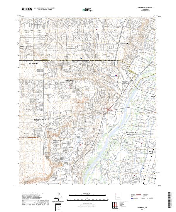
2023 Los Griegos
Bernalillo County, NM
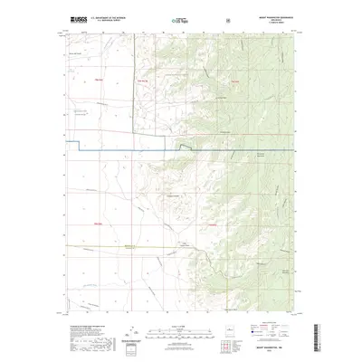
2023 Mount Washington
Bernalillo County, NM
2023 Sandia Crest
Bernalillo County, NM
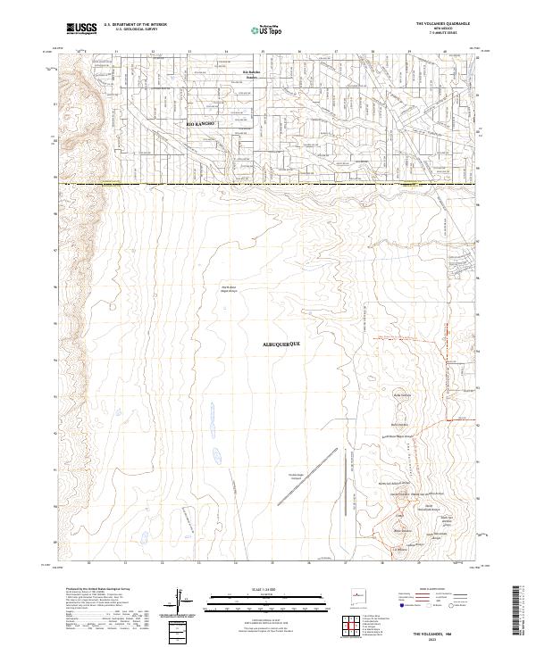
2023 The Volcanoes
Bernalillo County, NM
2023 Wind Mesa
Bernalillo County, NM