
1952 Map of Hubbell Spring
USGS Topo · Published 1953About this map
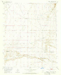
Isleta Pueblo Grant territory dominates this high-desert landscape in the early 1950s, defining a region where livestock grazing and remote ranching were the primary activities. The transition from the lower plains to the slopes of the Manzano Mts is marked by critical water sources like Hubble Spring and the spring at Ojo de la Cabra, which provided lifeblood for the Mc Cormick Ranch. Navigation and communication infrastructure of the era appear in the form of a Radio Range Sta and the Bernaval Azimuth Mark, essential for surveying and aviation in the New Mexico backcountry.
Find a feature on this map
15 named features on this map. Tap any name to fly to it.
Don’t see what you’re looking for? This feature index may not catch every label — zoom into the map to look around manually.
Map Details
Editions of this 1952 Hubbell Spring Map
4 editions found
Other maps of this area

1888 · Bernalillo
USGS Topo · 1:125,000

1889 · Albuquerque
USGS Topo · 1:125,000

1892 · San Pedro
USGS Topo · 1:125,000

1893 · Albuquerque
USGS Topo · 1:125,000

1917 · Estancia
USGS Topo · 1:125,000

1934 · West Albuquerque
USGS Topo · 1:24,000

1934 · East Albuquerque
USGS Topo · 1:24,000

1938 · Albuquerque
USGS Topo · 1:62,500

1952 · Los Lunas SE
USGS Topo · 1:24,000

1952 · Los Lunas
USGS Topo · 1:24,000