
1952 Map of Los Lunas
USGS Topo · Published 1954About this map
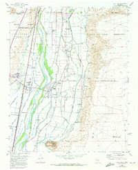
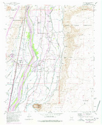
The Rio Grande valley in the early 1950s is defined by an intricate network of irrigation and drainage infrastructure, reflecting a landscape deeply shaped by centuries of land grants and agricultural engineering. Massive tracts of land, including the Gutierrez Grant, Sedillo Grant, and Lo de Padilla Grant, intersect the valley floor, where the Atchison Topeka and Santa Fe railroad and the Pan American Highway facilitate regional movement. The settlement of Los Lunas serves as a civic hub, featuring the Court House and the State Home and School for Mental Defectives. Rural life is anchored by schools and churches such as the Chical Indian School, Valencia School, and St Anthony Church. The complex water system, comprising features like the Los Lunas Canal and Upper Peralta Riverside Drain, highlights the engineering required to sustain communities like Valencia and Peralta in this arid environment.
Find a feature on this map
61 named features on this map. Tap any name to fly to it.
Don’t see what you’re looking for? This feature index may not catch every label — zoom into the map to look around manually.
Map Details
Editions of this 1952 Los Lunas Map
Other maps of this area

1952 · Wind Mesa
USGS Topo · 1:24,000

1952 · Dalies
USGS Topo · 1:24,000

1952 · Tome NE
USGS Topo · 1:24,000

1952 · Belen
USGS Topo · 1:24,000

1952 · Hubbell Spring
USGS Topo · 1:24,000

1952 · Tome
USGS Topo · 1:24,000

1952 · Los Lunas SE
USGS Topo · 1:24,000

1952 · Isleta
USGS Topo · 1:24,000

1954 · Socorro
USGS Topo · 1:250,000

1958 · Socorro
USGS Topo · 1:250,000