2000s (21st Century) Maps of Miera, New Mexico
Explore 5 historic maps of Miera from the 2000s (21st Century). These maps offer a rare glimpse into what life looked like during the 2000s — showing old roads, neighborhoods, homes, and landmarks that have changed or disappeared over time.
Whether you're researching your family's past, planning a metal detecting trip, or studying how Miera's landscape evolved across the 2000s, these high-resolution maps are a powerful tool for exploring the history of this region.
- Focus on a specific era: All maps on this page are from the 2000s, giving you a focused view of this time period.
- See what’s changed: Compare century-old streets, trails, and buildings to today's modern landscape using overlays and satellite layers.
- Research with precision: Use these maps for genealogy, historical research, land use analysis, or educational projects.
- View, download, or print: Maps are fully viewable online in high resolution, and can be downloaded or printed for your own records.
Start exploring Miera's history through authentic maps from the 2000s. This is your window into the past.
Miera, NM maps
(5)- 2011 Map of Escabosa, 2011 Print
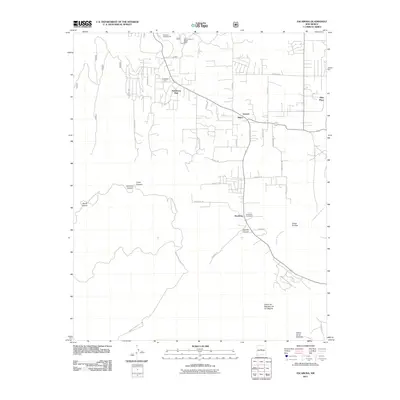 2011 Escabosa2011 Print · USGSCovers Miera, including Escabosa, Ponderosa Pine, and other nearby areas
 - 2013 Map of Escabosa, 2013 Print
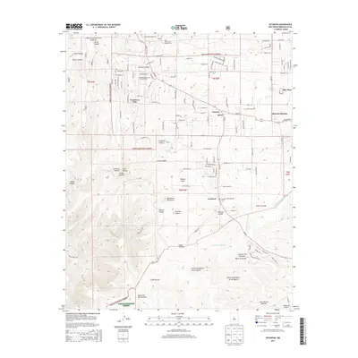 2013 Escabosa2013 Print · USGSCovers Miera, including Escabosa, Ponderosa Pine, and other nearby areas
 - 2017 Map of Escabosa, 2017 Print
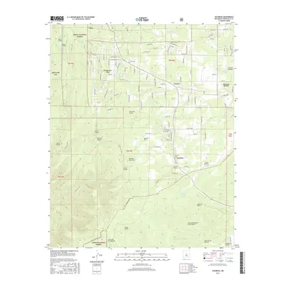 2017 Escabosa2017 Print · USGSCovers Miera, including Escabosa, Ponderosa Pine, and other nearby areas
 - 2020 Map of Escabosa, 2020 Print
 2020 Escabosa2020 Print · USGSCovers Miera, including Escabosa, Ponderosa Pine, and other nearby areas
 - 2023 Map of Escabosa, 2023 Print
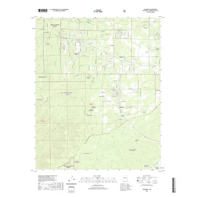
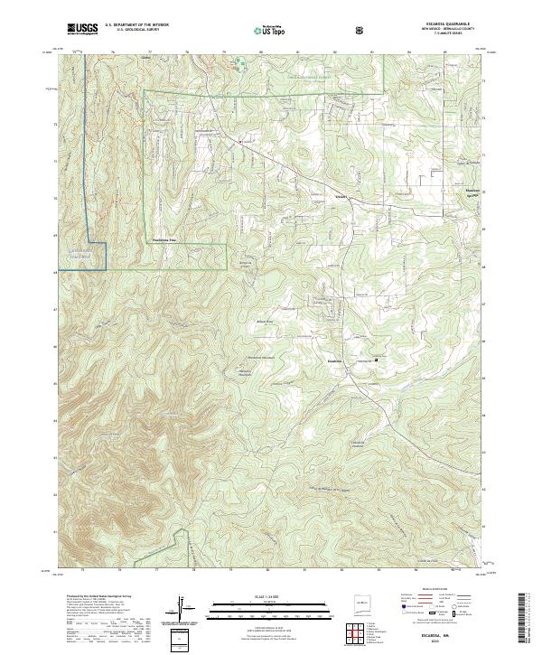 2023 Escabosa2023 Print · USGSThe mountain communities east of Albuquerque are mapped here in the early twenty-first century, showing the intersection of national forest land and residential growth. Genealogists and hikers can trace old routes through Yrisarri or find family landmarks like the Escabosa Cem and Manzano Springs.
End of results
Showing maps 1-5 of 5
Top cities near Miera
- Albuquerque historical maps
- Los Lunas historical maps
- Edgewood historical maps
- Moriarty historical maps
- Estancia historical maps
- Cedar Crest historical maps
See more
Frequently asked questions
- What are the different types of historical maps available for Miera?
- What is the oldest map of Miera?
- Where can I purchase historical maps of Miera for my home or office?
- Where can I download high-res historical maps of Miera?
- Are there historical topographic maps available for Miera?
- Is there historical aerial imagery available for Miera?
- Where are historical maps of Miera sourced from?