Old Maps of McDermott Wells, New Mexico for Hiking & Exploration
Hike through history with 10 historic maps of McDermott Wells. Explore old trails, ghost towns, and forgotten backroads — perfect for outdoor adventurers and local explorers.
- Rediscover forgotten places: Map out old mining camps, roads, and footpaths that no longer exist on modern maps.
- Layer with modern tools: Combine with LiDAR or satellite views to plan hikes through historical terrain.
- Made for exploration: Popular among hikers, overlanders, and local history lovers.
Use these maps to find adventure and explore the hidden past of McDermott Wells.
McDermott Wells, NM maps
(10)- 1955 Map of Roswell, 1974 Print
 1955 Roswell1974 Print · USGSSoutheastern New Mexico is shown in transition during the mid-fifties, from the Pecos Valley ranching hubs to the high timber of the Sacramento Mountains. Researchers can trace the Atchison Topeka and Santa Fe RR through Roswell and Hagerman or locate the old barracks at Ft Stanton.3 unique versions available
 - 1958 Map of Roswell
 1958 Roswell1958 Print · USGSThe High Plains and mountain peaks of New Mexico are captured here during the mid-fifties, showing the region before the closure of Walker Air Force Base. Researchers can trace the ranching and rail landscape from Lincoln to the Pecos River valley through Hagerman and Lake Arthur.
 - 1962 Map of Roswell
 1962 Roswell1962 Print · USGSSoutheastern New Mexico in the early sixties shows a landscape defined by high mountain peaks and a growing military presence at Roswell. Genealogists and historians can trace the roads connecting Fort Stanton, Capitan, and the Mescalero Apache Indian Reservation.
 - 1967 Map of Shannon Draw, 1971 Print
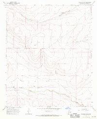 1967 Shannon Draw1971 Print · USGSChaves County ranching country is captured here in the late sixties, showing a landscape shaped by water rights and cattle management. Researchers can locate family-named landmarks and water sources like Fivemile Ranch, McDermott Wells, and Rock House Springs.2 unique versions available
 - 1979 Map of Salt Creek
 1979 Salt Creek1979 Print · USGSChaves County's high plains and river valleys are captured here in the late seventies as the region balanced ranching life with historic aerospace milestones. Trace the Atchison Topeka and Santa Fe Railroad past Elkins or locate the Dr Robert Goddard Original Rocket Tower Site.
 - 2010 Map of Shannon Draw, 2010 Print
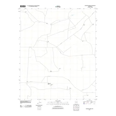 2010 Shannon Draw2010 Print · USGSCovers McDermott Wells, including Chaves County, United States, and other nearby areas
 - 2013 Map of Shannon Draw, 2013 Print
 2013 Shannon Draw2013 Print · USGSCovers McDermott Wells, including Chaves County, United States, and other nearby areas
 - 2017 Map of Shannon Draw, 2017 Print
 2017 Shannon Draw2017 Print · USGSCovers McDermott Wells, including Chaves County, United States, and other nearby areas
 - 2020 Map of Shannon Draw, 2020 Print
 2020 Shannon Draw2020 Print · USGSCovers McDermott Wells, including Chaves County, United States, and other nearby areas
 - 2023 Map of Shannon Draw, 2023 Print
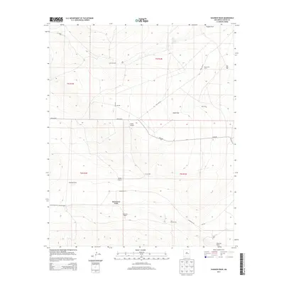
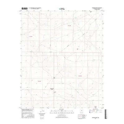
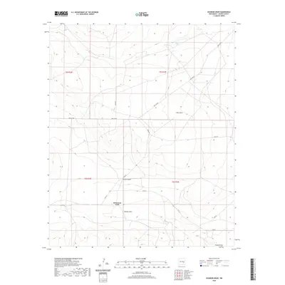
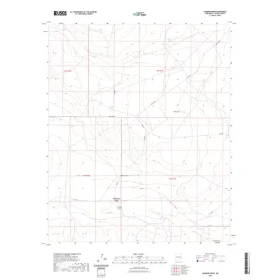 2023 Shannon Draw2023 Print · USGSChaves County's high-desert landscape is captured here in the early twenty-first century, showing the essential water and road networks of the region. Researchers can trace the drainage of Hobbs Canyon and locate points of interest like McDermott Wells and Rock House Springs.
End of results
Showing maps 1-10 of 10
Frequently asked questions
- What are the different types of historical maps available for McDermott Wells?
- What is the oldest map of McDermott Wells?
- Where can I purchase historical maps of McDermott Wells for my home or office?
- Where can I download high-res historical maps of McDermott Wells?
- Are there historical topographic maps available for McDermott Wells?
- Is there historical aerial imagery available for McDermott Wells?
- Where are historical maps of McDermott Wells sourced from?