Old Maps of Melrose, New Mexico for Hiking & Exploration
Hike through history with 15 historic maps of Melrose. Explore old trails, ghost towns, and forgotten backroads — perfect for outdoor adventurers and local explorers.
- Rediscover forgotten places: Map out old mining camps, roads, and footpaths that no longer exist on modern maps.
- Layer with modern tools: Combine with LiDAR or satellite views to plan hikes through historical terrain.
- Made for exploration: Popular among hikers, overlanders, and local history lovers.
Use these maps to find adventure and explore the hidden past of Melrose.
Melrose, NM maps
(15)- 1954 Map of Clovis, 1966 Print
 1954 Clovis1966 Print · USGSThe High Plains of the Texas-New Mexico borderland come alive in this mid-century survey as the region's agricultural and rail networks reached their peak. Trace family roots and local history through features like Cannon AFB, the massive Sand Hills, and busy rail towns such as Friona and Littlefield.4 unique versions available
 - 1957 Map of Melrose, 1958 Print
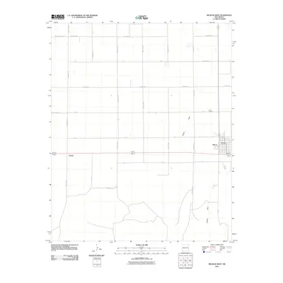
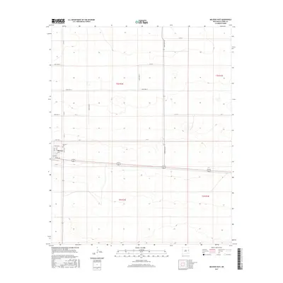
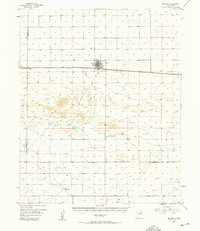 1957 Melrose1958 Print · USGSEastern New Mexico ranching and rail life are captured here in the late fifties, centered on the activity of the plains. Genealogists and historians can locate family landmarks like Hart Ranch, the North Cem, and the central siding at Melrose along the Atchison Topeka and Santa Fe line.
 - 1958 Map of Clovis
 1958 Clovis1958 Print · USGSThe High Plains of the New Mexico-Texas borderlands are captured here in the late fifties, during a period of significant military and agricultural expansion. Genealogists and historians can trace the rail-side growth of Clovis, the operations at Clovis Air Force Base, and the rural layout of communities like Muleshoe and Hereford.
 - 1972 Map of Melrose East, 1975 Print
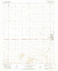
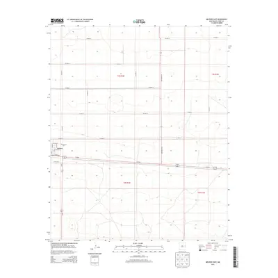
 1972 Melrose East1975 Print · USGSMelrose sits at a vital railroad junction on the New Mexico high plains in the early seventies. Genealogists and local historians can trace the town's footprint from the Memorial Cem to the Rodeo Ground and the busy Atchison Topeka and Santa Fe line.
 - 1973 Map of Melrose West, 1975 Print
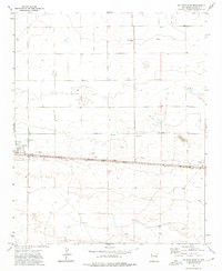
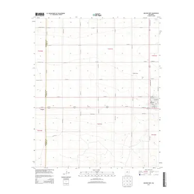
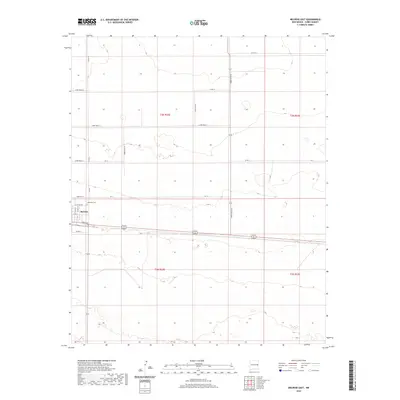
 1973 Melrose West1975 Print · USGSEastern New Mexico high plains life is captured here in the early seventies, centered on the railroad town of Melrose. Genealogists and historians can trace rail-side infrastructure and local landmarks like the North Cem, Cantara, and the Sand Dunes to the south.
 - 2010 Map of Melrose East, 2010 Print
 2010 Melrose East2010 Print · USGSCovers Melrose, including Curry County, United States, and other nearby areas
 - 2010 Map of Melrose West, 2010 Print
 2010 Melrose West2010 Print · USGSCovers Melrose, including Cantara, Curry County, and other nearby areas
 - 2013 Map of Melrose East, 2013 Print
 2013 Melrose East2013 Print · USGSCovers Melrose, including Curry County, United States, and other nearby areas
 - 2013 Map of Melrose West, 2013 Print
 2013 Melrose West2013 Print · USGSCovers Melrose, including Cantara, Curry County, and other nearby areas
 - 2017 Map of Melrose West, 2017 Print
 2017 Melrose West2017 Print · USGSCovers Melrose, including Cantara, Curry County, and other nearby areas
 - 2017 Map of Melrose East, 2017 Print
 2017 Melrose East2017 Print · USGSCovers Melrose, including Curry County, United States, and other nearby areas
 - 2020 Map of Melrose East, 2020 Print
 2020 Melrose East2020 Print · USGSCovers Melrose, including Curry County, United States, and other nearby areas
 - 2020 Map of Melrose West, 2020 Print
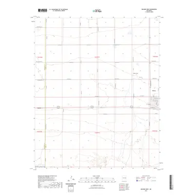
 2020 Melrose West2020 Print · USGSCovers Melrose, including Cantara, Curry County, and other nearby areas
 - 2023 Map of Melrose West, 2023 Print
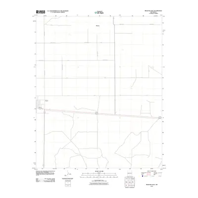
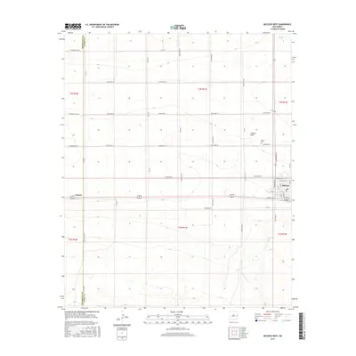
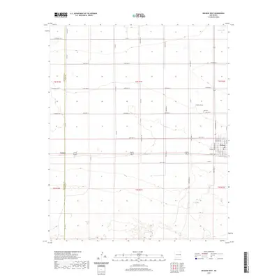
 2023 Melrose West2023 Print · USGSThe High Plains of Curry and Roosevelt Counties are captured here in the 2020s, showcasing the persistent section-line grid and ranching landscape. Genealogists can locate North Cem near Melrose, or trace old routes like Co Line Rd and the settlement at Cantara.
 - 2023 Map of Melrose East, 2023 Print
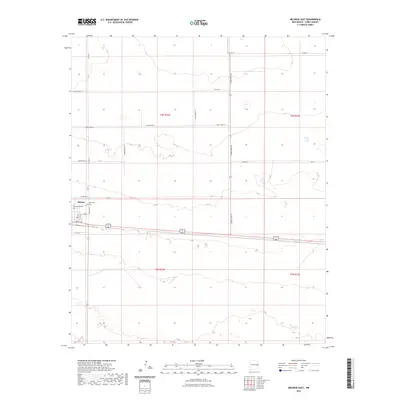 2023 Melrose East2023 Print · USGSThe village of Melrose is captured here as it appeared in the early 2020s, showing its eastern expansion into the plains. Genealogists and local historians can trace specific residential streets like N 10th St or locate the Memorial Cem.
End of results
Showing maps 1-15 of 15
Top cities near Melrose
Frequently asked questions
- What are the different types of historical maps available for Melrose?
- What is the oldest map of Melrose?
- Where can I purchase historical maps of Melrose for my home or office?
- Where can I download high-res historical maps of Melrose?
- Are there historical topographic maps available for Melrose?
- Is there historical aerial imagery available for Melrose?
- Where are historical maps of Melrose sourced from?