Old Maps of San Pablo, New Mexico for Hiking & Exploration
Hike through history with 12 historic maps of San Pablo. Explore old trails, ghost towns, and forgotten backroads — perfect for outdoor adventurers and local explorers.
- Rediscover forgotten places: Map out old mining camps, roads, and footpaths that no longer exist on modern maps.
- Layer with modern tools: Combine with LiDAR or satellite views to plan hikes through historical terrain.
- Made for exploration: Popular among hikers, overlanders, and local history lovers.
Use these maps to find adventure and explore the hidden past of San Pablo.
San Pablo, NM maps
(12)- 1891 Map of Las Cruces
 1891 Las Cruces1891 Print · USGSThe Mesilla Valley and Organ Mountains are shown here during the late territorial era, when the railroad was transforming the region. Genealogists and historians can trace early settlements like Mesilla, Fort Selden, and the mining hub at Organ City.
 - 1893 Map of Las Cruces
 1893 Las Cruces1893 Print · USGSSettlements along the Rio Grande flourished in the 1890s as the railroad arrived in Doña Ana County. Genealogists can trace family roots in Mesilla, Las Cruces, and Santa Tomaz, or locate the historic site of Fort Selden.4 unique versions available
 - 1943 Map of Afton
 1943 Afton1943 Print · USGSThe Mesilla Valley during the early 1940s is shown here as a landscape of intensive river irrigation and isolated desert ranching. Genealogists can locate family holdings such as Norwood Ranch and Nunn Ranch or trace the early community boundaries of the Mesilla Civil Colony.3 unique versions available
 - 1955 Map of Las Cruces, 1963 Print
 1955 Las Cruces1963 Print · USGSSouthern New Mexico comes into focus during the mid-fifties, showing the growth of Las Cruces alongside major military and scientific installations. Genealogists and historians can trace the Southern Pacific tracks through small rail towns like Cambray and Afton, or locate family sites near Hatch and Deming.3 unique versions available
 - 1958 Map of Las Cruces
 1958 Las Cruces1958 Print · USGSSouthern New Mexico in the late fifties was a landscape of rapid scientific and military growth centered on the Rio Grande. Local historians can trace the development of Las Cruces, the campus of New Mexico A and M College, and remote rail sidings like Aden Siding.
 - 1982 Map of Las Cruces
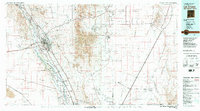 1982 Las Cruces1982 Print · USGSThe Rio Grande valley and the Organ Mountains define this 1980s portrait of southern New Mexico's ranching and military landscape. Trace historic land divisions like the Brazito Grant alongside landmarks such as Santo Tomas and the Silver King Mine.
 - 1996 Map of Black Mesa, 2001 Print
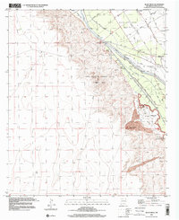 1996 Black Mesa2001 Print · USGSThe Mesilla Valley during the late twentieth century reveals a highly engineered landscape of colonial tracts and irrigation canals. Researchers can trace land grants like the Mesilla Civil Colony and local landmarks such as Stahmann Farms Airfield.
 - 2010 Map of Black Mesa, 2010 Print
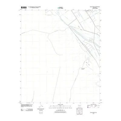 2010 Black Mesa2010 Print · USGSThe fertile Mesilla Valley meets the high desert in 2010, revealing a landscape defined by Rio Grande water management and volcanic landforms. Researchers can trace the elaborate irrigation network of the Mesilla Lateral and Del Rio Drain near the settlement of San Pablo.
 - 2013 Map of Black Mesa, 2013 Print
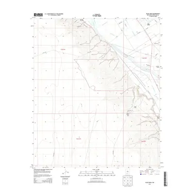 2013 Black Mesa2013 Print · USGSThe Mesilla Valley is captured here in the early twenty-first century, showing the enduring irrigation network along the Rio Grande. Researchers can trace local water systems and family-named routes like Addington Rd near San Pablo and Mesilla.
 - 2017 Map of Black Mesa, 2017 Print
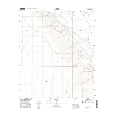 2017 Black Mesa2017 Print · USGSThe Mesilla Valley comes into focus in this recent survey of the Rio Grande river bottom and its volcanic western borders. Trace the extensive network of irrigation canals and drains like the California Lateral and Santo Tomas River Drain that sustain this storied landscape.
 - 2020 Map of Black Mesa, 2020 Print
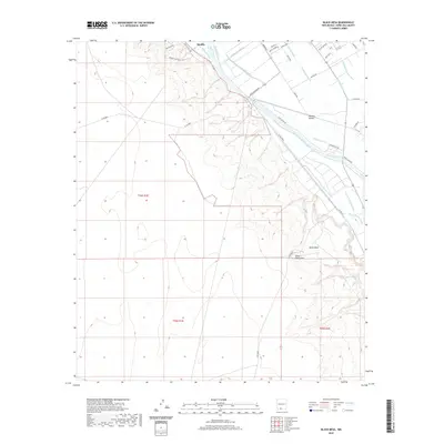 2020 Black Mesa2020 Print · USGSMesilla and the surrounding river valley are captured here in the contemporary era, showing the complex web of desert irrigation. Researchers can trace the paths of the Rio Grande, the Mesilla Lateral, and landmarks like Black Mesa.
 - 2023 Map of Black Mesa, 2023 Print
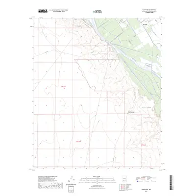 2023 Black Mesa2023 Print · USGSThe fertile Rio Grande valley and the high desert of Doña Ana County meet in this modern survey of the New Mexico landscape. Researchers can trace the complex irrigation networks including the Mesilla Lateral and Santo Tomas Lateral or locate the historic bounds of Mesilla and San Pablo.
End of results
Showing maps 1-12 of 12
Top cities near San Pablo
- Las Cruces historical maps
- Anthony, NM historical maps
- Mesilla historical maps
- Doña Ana historical maps
- Butterfield Park historical maps
- Organ historical maps
Frequently asked questions
- What are the different types of historical maps available for San Pablo?
- What is the oldest map of San Pablo?
- Where can I purchase historical maps of San Pablo for my home or office?
- Where can I download high-res historical maps of San Pablo?
- Are there historical topographic maps available for San Pablo?
- Is there historical aerial imagery available for San Pablo?
- Where are historical maps of San Pablo sourced from?