Old Maps of Vado, New Mexico for Academic Research
Study the evolution of Vado with 20 high-resolution historic maps. Whether you're teaching, researching, or modeling changes in land use, these maps provide essential visual documentation of urban, environmental, and geographic change.
- Analyze long-term change: Track patterns in development, transportation, and natural features.
- Ideal for environmental or urban studies: Support academic projects with primary historical map data.
- Use in the classroom or lab: Educators and researchers rely on these maps to bring historical context to life.
These maps are a powerful tool for teaching, research, and visualizing how Vado has changed over the decades.
Vado, NM maps
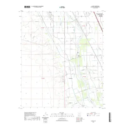
(20)- 1891 Map of Las Cruces
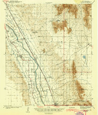
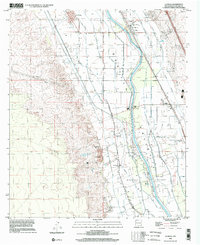
 1891 Las Cruces1891 Print · USGSThe Mesilla Valley and Organ Mountains are shown here during the late territorial era, when the railroad was transforming the region. Genealogists and historians can trace early settlements like Mesilla, Fort Selden, and the mining hub at Organ City.
 - 1893 Map of Las Cruces
 1893 Las Cruces1893 Print · USGSSettlements along the Rio Grande flourished in the 1890s as the railroad arrived in Doña Ana County. Genealogists can trace family roots in Mesilla, Las Cruces, and Santa Tomaz, or locate the historic site of Fort Selden.4 unique versions available
 - 1943 Map of La Mesa
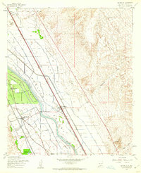
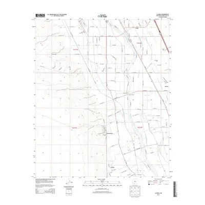
 1943 La Mesa1943 Print · USGSThe Mesilla Valley during the early years of the war reveals a complex system of desert irrigation and historic land grants. Genealogists can trace family roots through numerous local landmarks, including the Memorial Ridge Cem, San Luis Ch, and the Beasley Homestead.2 unique versions available
 - 1955 Map of San Miguel, 1962 Print
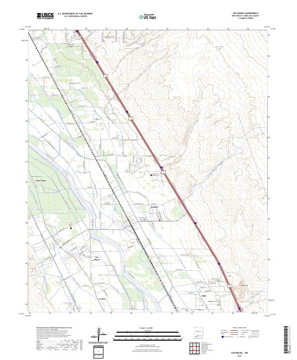
 1955 San Miguel1962 Print · USGSThe Mesilla Valley thrived as a corridor of irrigation and rail commerce during the mid-fifties. Genealogists can trace family footprints through the Santo Tomas de Yturbide Colony and settlements like San Miguel and Mesquite.2 unique versions available
 - 1955 Map of La Mesa, 1962 Print
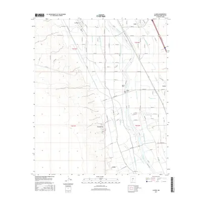
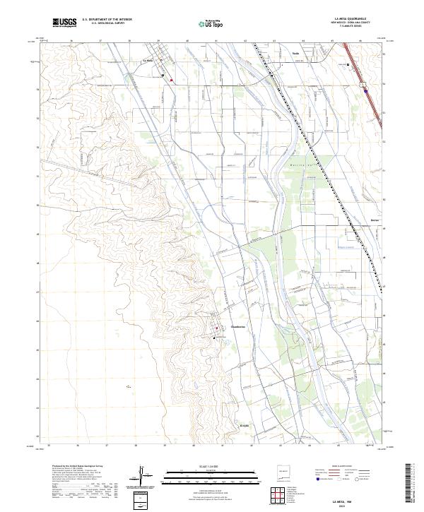
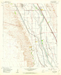 1955 La Mesa1962 Print · USGSThe Mesilla Valley during the mid-fifties reveals a landscape defined by Rio Grande irrigation and the Atchison Topeka and Santa Fe line. Researchers can locate the site of Chamberino (Old Town) and rural landmarks like San Luis Ch and Berino Siding.2 unique versions available
 - 1955 Map of Las Cruces, 1963 Print
 1955 Las Cruces1963 Print · USGSSouthern New Mexico comes into focus during the mid-fifties, showing the growth of Las Cruces alongside major military and scientific installations. Genealogists and historians can trace the Southern Pacific tracks through small rail towns like Cambray and Afton, or locate family sites near Hatch and Deming.3 unique versions available
 - 1958 Map of Las Cruces
 1958 Las Cruces1958 Print · USGSSouthern New Mexico in the late fifties was a landscape of rapid scientific and military growth centered on the Rio Grande. Local historians can trace the development of Las Cruces, the campus of New Mexico A and M College, and remote rail sidings like Aden Siding.
 - 1982 Map of Las Cruces
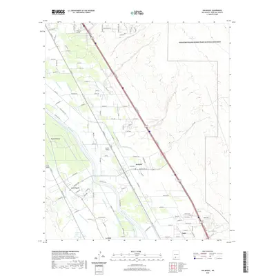
 1982 Las Cruces1982 Print · USGSThe Rio Grande valley and the Organ Mountains define this 1980s portrait of southern New Mexico's ranching and military landscape. Trace historic land divisions like the Brazito Grant alongside landmarks such as Santo Tomas and the Silver King Mine.
 - 1996 Map of San Miguel, 2002 Print
 1996 San Miguel2002 Print · USGSThe Mesilla Valley in the mid-nineties shows a landscape of historic colonies and intricate irrigation systems along the Rio Grande. Researchers can trace old family footprints through settlements like Santo Tomas, locate the La Mesa Cemetery, or follow the Atchison Topeka and Santa Fe rail line.
 - 1996 Map of La Mesa, 2002 Print
 1996 La Mesa2002 Print · USGSThe Mesilla Valley in the late twentieth century is shown here as a complex grid of irrigation and agriculture along the Rio Grande. Researchers can trace the layout of the Refugio Colony and locate community landmarks like Dunbar Sch and the San Luis Cem.
 - 2010 Map of San Miguel, 2010 Print
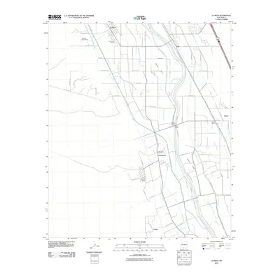
 2010 San Miguel2010 Print · USGSCovers Vado, including Santo Tomas, Mesquite, and other nearby areas
 - 2010 Map of La Mesa, 2010 Print
 2010 La Mesa2010 Print · USGSCovers Vado, including La Mesa, Chamberino, and other nearby areas
 - 2013 Map of San Miguel, 2013 Print
 2013 San Miguel2013 Print · USGSCovers Vado, including Santo Tomas, Mesquite, and other nearby areas
 - 2013 Map of La Mesa, 2013 Print
 2013 La Mesa2013 Print · USGSCovers Vado, including La Mesa, Chamberino, and other nearby areas
 - 2017 Map of La Mesa, 2017 Print
 2017 La Mesa2017 Print · USGSCovers Vado, including La Mesa, Chamberino, and other nearby areas
 - 2017 Map of San Miguel, 2017 Print
 2017 San Miguel2017 Print · USGSCovers Vado, including Santo Tomas, Mesquite, and other nearby areas
 - 2020 Map of San Miguel, 2020 Print
 2020 San Miguel2020 Print · USGSCovers Vado, including Santo Tomas, Mesquite, and other nearby areas
 - 2020 Map of La Mesa, 2020 Print
 2020 La Mesa2020 Print · USGSCovers Vado, including La Mesa, Chamberino, and other nearby areas
 - 2023 Map of San Miguel, 2023 Print
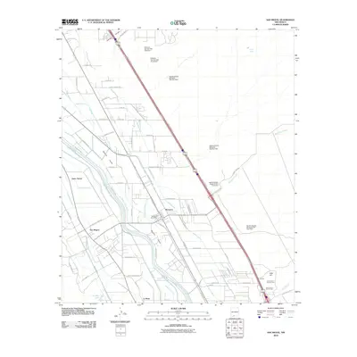
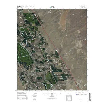
 2023 San Miguel2023 Print · USGSThe Mesilla Valley south of Las Cruces thrives as an irrigated agricultural heartland in the early twenty-first century. Researchers can trace the layout of historic settlements like San Miguel and Vado, or locate family sites near San Miguel Cem.
 - 2023 Map of La Mesa, 2023 Print
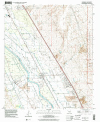
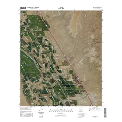
 2023 La Mesa2023 Print · USGSThe Mesilla Valley comes into focus in this recent survey, showcasing the enduring agricultural patterns of La Mesa and Chamberino along the Rio Grande. Genealogists can locate family landmarks like San Jose Cem or trace irrigation routes like the Three Saints Lateral.
End of results
Showing maps 1-20 of 20
Top cities near Vado
- El Paso historical maps
- Las Cruces historical maps
- Anthony historical maps
- Anthony, NM historical maps
- Canutillo historical maps
- Anthony historical maps
See more
Frequently asked questions
- What are the different types of historical maps available for Vado?
- What is the oldest map of Vado?
- Where can I purchase historical maps of Vado for my home or office?
- Where can I download high-res historical maps of Vado?
- Are there historical topographic maps available for Vado?
- Is there historical aerial imagery available for Vado?
- Where are historical maps of Vado sourced from?